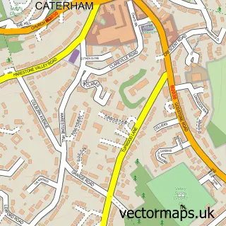
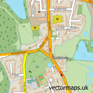
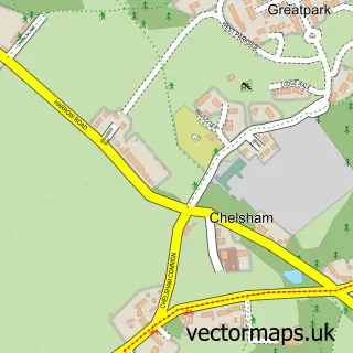
This Caterham street map is a detailed vector street map covering a 750m x 750m area. Select a larger area to create and download your own vector street map of Caterham.
The 750-metre map sample for Caterham covers 326 mapped buildings and approximately 15.9 km of road detail, of which 27 named roads are named. The immediate area includes 1 railway station, 1 GP surgery, 5 pubs and 1 MOT station, with 7 within 2 miles. The wider area around Caterham features 2 tourism points of interest and 17 food and drink venues. To create a larger or custom map of Caterham, the map builder lets you define your own coverage area and download editable SVG, PDF and PNG files.
Create a larger editable map of Caterham
Choose any area you need and generate a high-quality vector map instantly. Perfect for print, planning, design, business and personal use.

This Caterham street map in Surrey is available as downloadable SVG, PDF and PNG map files, or as a printed map for planning, business, display, education, local information and design work. You can also create a larger custom map area using the map selector.
What this Caterham map sample shows
Caterham lies within Caterham Valley Cp parish, part of Valley ward in the Tandridge District local authority area. The postcode geography for this area includes the CR postcode area, the CR3 postcode district and the CR3 6 postcode sector. Residents fall under the Nhs Surrey Heartlands Integrated Care Board for NHS services.
Local features near Caterham
Within 2 milesAmenities and services in and around Caterham.
Administrative and postcode information for Caterham
Caterham lies within Caterham Valley Cp parish, part of Valley ward in the Tandridge District local authority area. The postcode geography for this area includes the CR postcode area, the CR3 postcode district and the CR3 6 postcode sector. Residents fall under the Nhs Surrey Heartlands Integrated Care Board for NHS services.
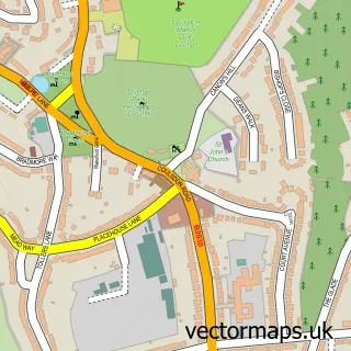
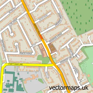
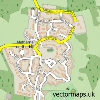
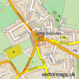
Nearby street map samples around Caterham

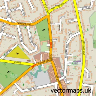
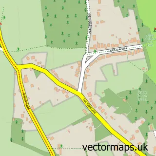
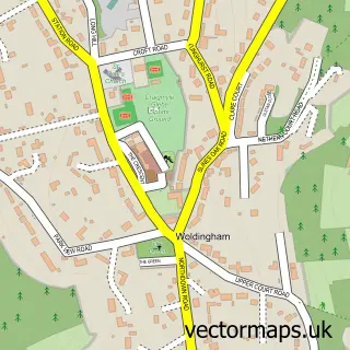
More street maps in Surrey
750 metre map area coverage
Boundary, postcode and point of interest information for the 750m x 750m rectangle centred on this sample map.
Boundaries containing map centre
Constituency: East Surrey Co Const
County: Surrey County
District: Tandridge District
Icb: NHS Surrey and Sussex ICB
Parish: Caterham Valley CP
Police Force: surrey
Postcode District: CR3
Postcode Sector: CR3 6
Ward: Harestone Ward
Nearby boundaries intersecting sample
Parish: Caterham-on-the-Hill CP
Postcode Sector: CR3 5
Ward: Portley & Queens Park Ward, Valley Ward
Postcode coverage
POI category counts
Professional Services: 12
Real Estate Agent: 12
Hair Salon: 9
Accountant: 7
Coffee Shop: 6
Fast Food Restaurant: 6
Indian Restaurant: 6
Banks: 5
Barber: 5
Beauty Salon: 5
Sample points of interest
- Accounting And Business Services Llp
- Bourne Accountancy
- Champ Consultants
- Tax4today
- TaxAssist Accountants
- UNL Chartered Accountants
- Upton Neenan Lees
- Car & Classic
- Pyott Design Consultants
- St John's Church
- RSPCA
- Cancer Research UK
Create a larger editable map of Caterham
This sample shows only a 750 metre area. To create a larger map of Caterham, use our map builder to choose your own coverage area, add titles and download editable SVG, PDF and PNG files.
Create a custom map of Caterham