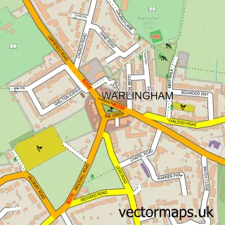
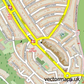
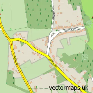
This Hamsey Green street map is a detailed vector street map covering a 750m x 750m area. Select a larger area to create and download your own vector street map of Hamsey Green.
The 750-metre map sample for Hamsey Green covers 489 mapped buildings and approximately 13.9 km of road detail, of which 22 named roads are named. The immediate area includes 1 primary school and 1 secondary school, 5 GP surgeries within 2 miles and 6 MOT stations within 2 miles. The wider area around Hamsey Green features 1 tourism point of interest and 4 food and drink venues. To create a larger or custom map of Hamsey Green, the map builder lets you define your own coverage area and download editable SVG, PDF and PNG files.
Create a larger editable map of Hamsey Green
Choose any area you need and generate a high-quality vector map instantly. Perfect for print, planning, design, business and personal use.

This Hamsey Green street map in Greater London is available as downloadable SVG, PDF and PNG map files, or as a printed map for planning, business, display, education, local information and design work. You can also create a larger custom map area using the map selector.
What this Hamsey Green map sample shows
Hamsey Green lies within Whyteleafe Cp parish, part of Whyteleafe ward in the Tandridge District local authority area. The postcode geography for this area includes the CR postcode area, the CR3 postcode district and the CR3 0 postcode sector. Residents fall under the Nhs Surrey Heartlands Integrated Care Board for NHS services.
Local features near Hamsey Green
Within 2 milesAmenities and services in and around Hamsey Green.
Administrative and postcode information for Hamsey Green
The local authority covering Hamsey Green is Tandridge District, within the county of Greater London. The settlement lies within Whyteleafe ward and Whyteleafe Cp civil parish. The CR3 postcode district and CR3 0 postcode sector serve the immediate area. NHS provision in the area is delivered through Surrey And Sussex Healthcare Nhs Trust.
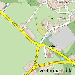
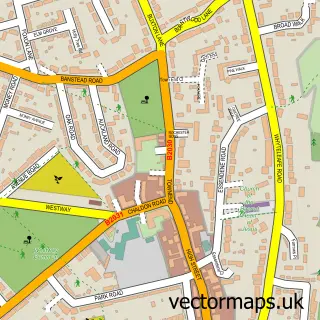
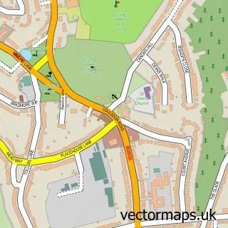
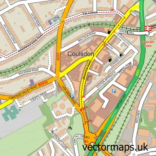
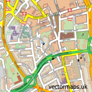
Nearby street map samples around Hamsey Green

More street maps in Greater London
750 metre map area coverage
Boundary, postcode and point of interest information for the 750m x 750m rectangle centred on this sample map.
Boundaries containing map centre
Constituency: Croydon South Boro Const
County: Greater London Authority
District: Croydon London Boro
Icb: NHS South West London ICB
Police Force: metropolitan
Postcode District: CR2
Postcode Sector: CR2 9
Ward: Sanderstead Ward
Nearby boundaries intersecting sample
Constituency: East Surrey Co Const
County: Surrey County
District: Tandridge District
Icb: NHS Surrey and Sussex ICB
Parish: Warlingham CP
Police Force: surrey
Postcode District: CR6
Postcode Sector: CR6 9
Ward: Warlingham East & Chelsham & Farleigh Ward, Warlingham West Ward
Postcode coverage
POI category counts
Beauty Salon: 4
Barber: 3
Beauty And Spa: 3
Building Supply Store: 3
Convenience Store: 3
Driving School: 3
Hair Salon: 3
Professional Services: 3
Cafe: 2
Chinese Restaurant: 2
Sample points of interest
- Dealer Buzz
- Seasons Art Class Surrey
- Keitom Supply Co
- Blossom House Chinese Restaurant & Takeaway
- The Cooperative Food (BF) Post Office Hamsey Green, Hamsey Green
- Riddlesdown Common
- 100% Hand Car Wash
- Caroline Motors
- Greenacres (Warlingham) Ltd
- Barber Shop
- Mobile Barbers
- The Village Barbers
Create a larger editable map of Hamsey Green
This sample shows only a 750 metre area. To create a larger map of Hamsey Green, use our map builder to choose your own coverage area, add titles and download editable SVG, PDF and PNG files.
Create a custom map of Hamsey Green