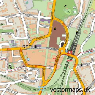
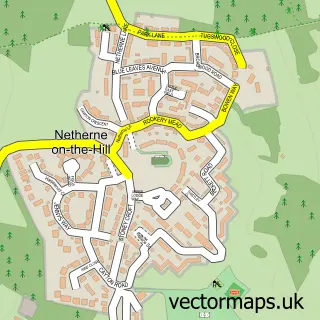
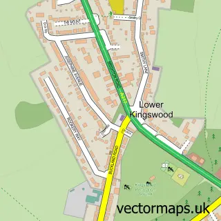
This Merstham street map is a detailed vector street map covering a 750m x 750m area. Select a larger area to create and download your own vector street map of Merstham.
The 750-metre map sample for Merstham covers 383 mapped buildings and approximately 18.3 km of road detail, of which 34 named roads are named. The immediate area includes 1 school, 1 railway station, 3 GP surgeries within 2 miles and 11 MOT stations within 2 miles. The wider area around Merstham features 3 tourism points of interest, 8 food and drink venues and 1 campsite within 2 miles. To create a larger or custom map of Merstham, the map builder lets you define your own coverage area and download editable SVG, PDF and PNG files.
Create a larger editable map of Merstham
Choose any area you need and generate a high-quality vector map instantly. Perfect for print, planning, design, business and personal use.

This Merstham street map in Surrey is available as downloadable SVG, PDF and PNG map files, or as a printed map for planning, business, display, education, local information and design work. You can also create a larger custom map area using the map selector.
What this Merstham map sample shows
Merstham lies within Surrey County parish, part of Hooley, Merstham & Netherne ward in the Reigate And Banstead District (B) local authority area. The postcode geography for this area includes the RH postcode area, the RH1 postcode district and the RH1 3 postcode sector. Residents fall under the Nhs Surrey Heartlands Integrated Care Board for NHS services.
Local features near Merstham
Within 2 milesAmenities and services in and around Merstham.
Administrative and postcode information for Merstham
Merstham lies within Surrey County parish, part of Hooley, Merstham & Netherne ward in the Reigate And Banstead District (B) local authority area. The postcode geography for this area includes the RH postcode area, the RH1 postcode district and the RH1 3 postcode sector. Residents fall under the Nhs Surrey Heartlands Integrated Care Board for NHS services.
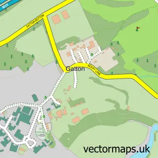
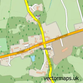
Nearby street map samples around Merstham

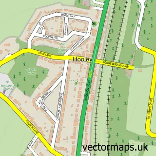
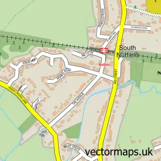
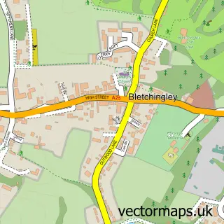
More street maps in Surrey
750 metre map area coverage
Boundary, postcode and point of interest information for the 750m x 750m rectangle centred on this sample map.
Boundaries containing map centre
Constituency: East Surrey Co Const
County: Surrey County
District: Reigate and Banstead District (B)
Icb: NHS Surrey and Sussex ICB
Police Force: surrey
Postcode District: RH1
Postcode Sector: RH1 3
Ward: Hooley, Merstham & Netherne Ward
Nearby boundaries intersecting sample
No additional intersecting boundaries found.
Postcode coverage
POI category counts
Cafe: 5
Post Office: 5
Professional Services: 4
Automotive Repair: 3
Coffee Shop: 3
Convenience Store: 3
Dentist: 3
Dry Cleaning: 3
Fish And Chips Restaurant: 3
Hair Salon: 3
Sample points of interest
- Heidi Bader Acupuncture
- Anchor Hanover - Broadmead & Hanover Cl
- The Cooperative Food Merstham - Portland Drive, Merstham
- A.C Car Mobile Mechanic
- N C Motors
- NC Motors Garage Services
- Witmun Engineering
- Merstham Baptist Church
- The Venue Merstham
- Cuticals Beauty Saloon
- Serendipity Merstham
- The Feathers
Create a larger editable map of Merstham
This sample shows only a 750 metre area. To create a larger map of Merstham, use our map builder to choose your own coverage area, add titles and download editable SVG, PDF and PNG files.
Create a custom map of Merstham