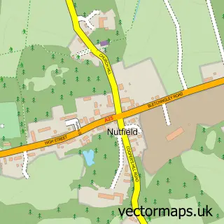
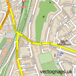
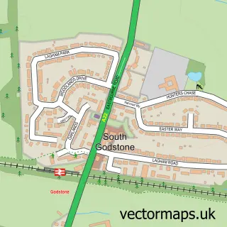
This South Nutfield street map is a detailed vector street map covering a 750m x 750m area. Select a larger area to create and download your own vector street map of South Nutfield.
The 750-metre map sample for South Nutfield covers 286 mapped buildings and approximately 9.5 km of road detail, of which 16 named roads are named. The immediate area includes 1 railway station, 1 GP surgery within 2 miles, 1 pub and 8 MOT stations within 2 miles. The wider area around South Nutfield features 1 food and drink venue. To create a larger or custom map of South Nutfield, the map builder lets you define your own coverage area and download editable SVG, PDF and PNG files.
Create a larger editable map of South Nutfield
Choose any area you need and generate a high-quality vector map instantly. Perfect for print, planning, design, business and personal use.

This South Nutfield street map in Surrey is available as downloadable SVG, PDF and PNG map files, or as a printed map for planning, business, display, education, local information and design work. You can also create a larger custom map area using the map selector.
What this South Nutfield map sample shows
South Nutfield lies within Nutfield Cp parish, part of Bletchingley And Nutfield ward in the Tandridge District local authority area. The postcode geography for this area includes the RH postcode area, the RH1 postcode district and the RH1 5 postcode sector. Residents fall under the Nhs Surrey Heartlands Integrated Care Board for NHS services.
Local features near South Nutfield
Within 2 milesAmenities and services in and around South Nutfield.
Administrative and postcode information for South Nutfield
South Nutfield lies within Nutfield Cp parish, part of Bletchingley And Nutfield ward in the Tandridge District local authority area. The postcode geography for this area includes the RH postcode area, the RH1 postcode district and the RH1 5 postcode sector. Residents fall under the Nhs Surrey Heartlands Integrated Care Board for NHS services.
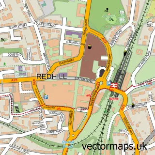
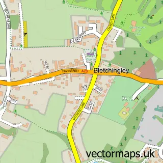
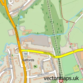
Nearby street map samples around South Nutfield

More street maps in Surrey
750 metre map area coverage
Boundary, postcode and point of interest information for the 750m x 750m rectangle centred on this sample map.
Boundaries containing map centre
Constituency: East Surrey Co Const
County: Surrey County
District: Tandridge District
Icb: NHS Surrey and Sussex ICB
Parish: Nutfield CP
Police Force: surrey
Postcode District: RH1
Postcode Sector: RH1 5
Ward: Bletchingley & Nutfield Ward
Nearby boundaries intersecting sample
Postcode Sector: RH1 4
Postcode coverage
POI category counts
Train Station: 2
Veterinarian: 2
Accountant: 1
Anglican Church: 1
Arts And Entertainment: 1
Bar: 1
Building Supply Store: 1
Carpenter: 1
Charity Organization: 1
Church Cathedral: 1
Sample points of interest
- Sparos
- South Nutfield, Christ Church
- Gill Scott-Jones
- The Station Bar and Restaurant
- The Bubble Crew
- Damp & Timber Tech
- Leukaemia Research Fund
- Christ Church
- South Nutfield Cricket Club
- Camp Glide
- David Cossins Surveyors Ltd.
- Danielle's Boutique Ltd
Create a larger editable map of South Nutfield
This sample shows only a 750 metre area. To create a larger map of South Nutfield, use our map builder to choose your own coverage area, add titles and download editable SVG, PDF and PNG files.
Create a custom map of South Nutfield