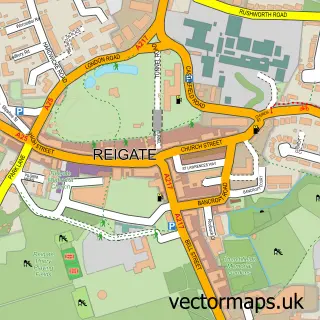
This Redhill street map is a detailed vector street map covering a 750m x 750m area. Select a larger area to create and download your own vector street map of Redhill.
The 750-metre map sample for Redhill covers 292 mapped buildings and approximately 19.7 km of road detail, of which 45 named roads are named. The immediate area includes 1 railway station, 5 GP surgeries within 2 miles, 6 pubs and 15 MOT stations within 2 miles. The wider area around Redhill features 3 tourism points of interest, 22 food and drink venues and 7 hotels. To create a larger or custom map of Redhill, the map builder lets you define your own coverage area and download editable SVG, PDF and PNG files.
Create a larger editable map of Redhill
Choose any area you need and generate a high-quality vector map instantly. Perfect for print, planning, design, business and personal use.

This Redhill street map in Surrey is available as downloadable SVG, PDF and PNG map files, or as a printed map for planning, business, display, education, local information and design work. You can also create a larger custom map area using the map selector.
What this Redhill map sample shows
Redhill lies within Surrey County parish, part of Redhill West & Wray Common ward in the Reigate And Banstead District (B) local authority area. The postcode geography for this area includes the RH postcode area, the RH1 postcode district and the RH1 1 postcode sector. Residents fall under the Nhs Surrey Heartlands Integrated Care Board for NHS services.
Local features near Redhill
Within 2 milesAmenities and services in and around Redhill.
Administrative and postcode information for Redhill
The local authority covering Redhill is Reigate And Banstead District (B), within the county of Surrey. The settlement lies within Redhill West & Wray Common ward and Surrey County civil parish. The RH1 postcode district and RH1 1 postcode sector serve the immediate area. NHS provision in the area is delivered through Surrey And Sussex Healthcare Nhs Trust.
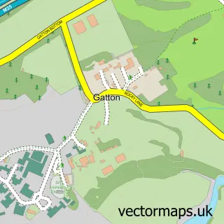
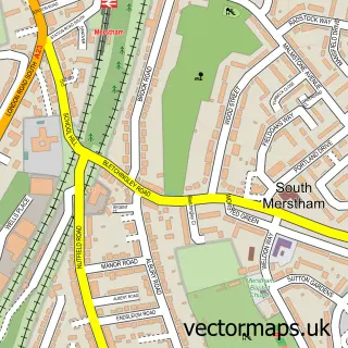
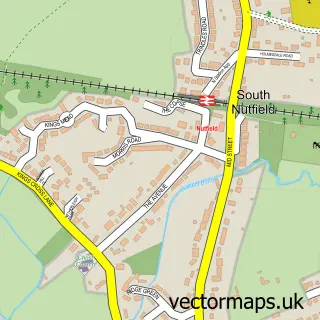
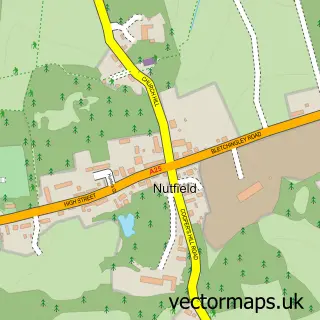
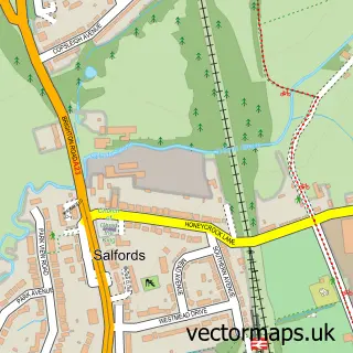
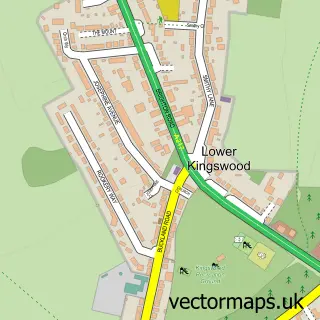
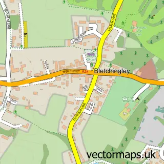
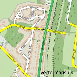
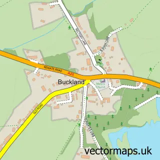
Nearby street map samples around Redhill

More street maps in Surrey
750 metre map area coverage
Boundary, postcode and point of interest information for the 750m x 750m rectangle centred on this sample map.
Boundaries containing map centre
Constituency: Reigate Co Const
County: Surrey County
District: Reigate and Banstead District (B)
Icb: NHS Surrey and Sussex ICB
Police Force: surrey
Postcode District: RH1
Postcode Sector: RH1 1
Nearby boundaries intersecting sample
Postcode Sector: RH1 4, RH1 6
Ward: Earlswood & Whitebushes Ward, Meadvale & St. John's Ward, Redhill East Ward, Redhill West & Wray Common Ward
Postcode coverage
POI category counts
Professional Services: 16
Real Estate Agent: 13
Clothing Store: 11
Mobile Phone Store: 11
Taxi Service: 11
Cafe: 10
Charity Organization: 9
Hair Salon: 9
Bank Credit Union: 8
Retail: 8
Sample points of interest
- Bilberry Accountants Ltd
- Moore Kingston Smith
- Sample Answers
- TW Media Ltd.
- The Design Collective
- Video Ads Company Ltd
- London Gatwick Airport - South Terminal
- St. Matthew, Redhill
- British Red Cross
- St Catherines Hospice Trading Sussex
- Bairstow Eves Lettings
- Greenway Associates
Create a larger editable map of Redhill
This sample shows only a 750 metre area. To create a larger map of Redhill, use our map builder to choose your own coverage area, add titles and download editable SVG, PDF and PNG files.
Create a custom map of Redhill