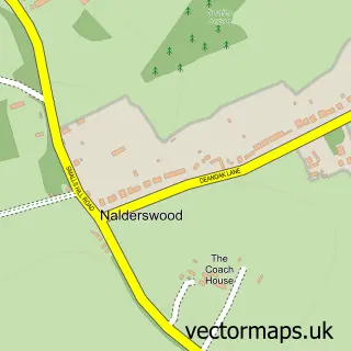
This Reigate street map is a detailed vector street map covering a 750m x 750m area. Select a larger area to create and download your own vector street map of Reigate.
The 750-metre map sample for Reigate covers 223 mapped buildings and approximately 13.5 km of road detail, of which 27 named roads are named. The immediate area includes 2 schools, 4 GP surgeries within 2 miles, 6 pubs and 10 MOT stations within 2 miles. The wider area around Reigate features 6 tourism points of interest and 38 food and drink venues. To create a larger or custom map of Reigate, the map builder lets you define your own coverage area and download editable SVG, PDF and PNG files.
Create a larger editable map of Reigate
Choose any area you need and generate a high-quality vector map instantly. Perfect for print, planning, design, business and personal use.

This Reigate street map in Surrey is available as downloadable SVG, PDF and PNG map files, or as a printed map for planning, business, display, education, local information and design work. You can also create a larger custom map area using the map selector.
What this Reigate map sample shows
Reigate lies within Surrey County parish, part of Reigate ward in the Reigate And Banstead District (B) local authority area. The postcode geography for this area includes the RH postcode area, the RH2 postcode district and the RH2 9 postcode sector. Residents fall under the Nhs Surrey Heartlands Integrated Care Board for NHS services.
Local features near Reigate
Within 2 milesAmenities and services in and around Reigate.
Administrative and postcode information for Reigate
The local authority covering Reigate is Reigate And Banstead District (B), within the county of Surrey. The settlement lies within Reigate ward and Surrey County civil parish. The RH2 postcode district and RH2 9 postcode sector serve the immediate area. NHS provision in the area is delivered through Surrey And Sussex Healthcare Nhs Trust.
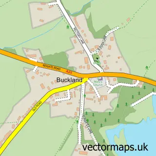
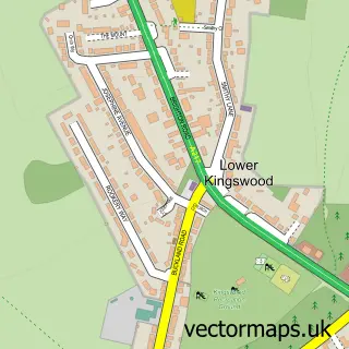
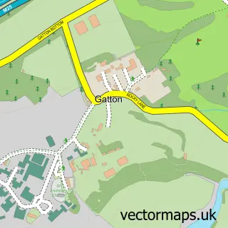
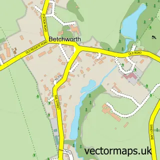
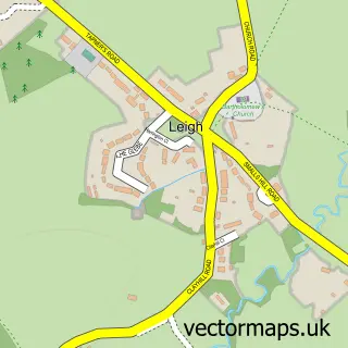
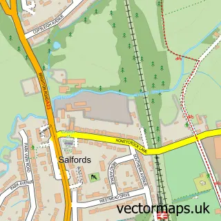
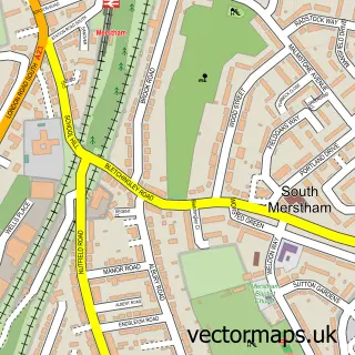
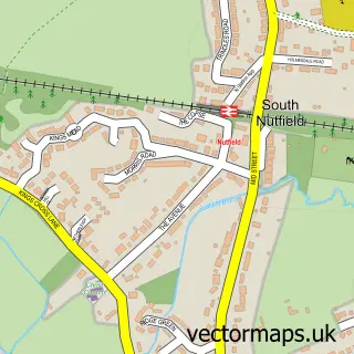
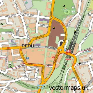
Nearby street map samples around Reigate

More street maps in Surrey
750 metre map area coverage
Boundary, postcode and point of interest information for the 750m x 750m rectangle centred on this sample map.
Boundaries containing map centre
Constituency: Reigate Co Const
County: Surrey County
District: Reigate and Banstead District (B)
Icb: NHS Surrey and Sussex ICB
Police Force: surrey
Postcode District: RH2
Postcode Sector: RH2 7
Ward: Reigate Ward
Nearby boundaries intersecting sample
Postcode Sector: RH2 0, RH2 8, RH2 9
Ward: Meadvale & St. John's Ward
Postcode coverage
POI category counts
Clothing Store: 29
Real Estate Agent: 17
Financial Service: 15
Hair Salon: 14
Jewelry Store: 14
Cafe: 12
Professional Services: 11
Beauty Salon: 10
Coffee Shop: 10
Restaurant: 10
Sample points of interest
- Surrey Media Lab Ltd.
- AE Accountax Ltd
- Construction Accountants, Calathea Accounting Ltd
- Coveney Nicholls
- Cunningham & Cunningham Limited
- David Howard
- Merranti Accounting Reigate
- Page Tax Consulting
- TaxAssist Accountants
- Your Finance Team Ltd - Chartered Accountants Reigate
- Core Reigate
- LIFT Personal Training
Create a larger editable map of Reigate
This sample shows only a 750 metre area. To create a larger map of Reigate, use our map builder to choose your own coverage area, add titles and download editable SVG, PDF and PNG files.
Create a custom map of Reigate