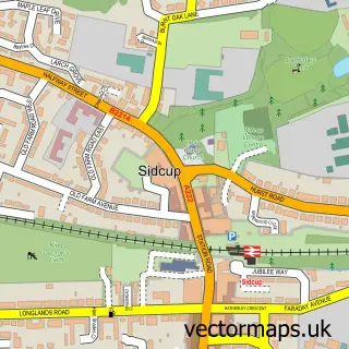
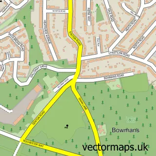
This Sidcup street map is a detailed vector street map covering a 750m x 750m area. Select a larger area to create and download your own vector street map of Sidcup.
The 750-metre map sample for Sidcup covers 367 mapped buildings and approximately 19.4 km of road detail, of which 40 named roads are named. The immediate area includes 2 schools, 2 GP surgeries, with 9 within 2 miles, 6 pubs and 4 MOT stations, with 26 within 2 miles. The wider area around Sidcup features 2 tourism points of interest, 23 food and drink venues and 2 hotels. To create a larger or custom map of Sidcup, the map builder lets you define your own coverage area and download editable SVG, PDF and PNG files.
Create a larger editable map of Sidcup
Choose any area you need and generate a high-quality vector map instantly. Perfect for print, planning, design, business and personal use.

This Sidcup street map in Greater London is available as downloadable SVG, PDF and PNG map files, or as a printed map for planning, business, display, education, local information and design work. You can also create a larger custom map area using the map selector.
What this Sidcup map sample shows
Sidcup lies within Greater London Authority parish, part of Sidcup ward in the Bexley London Boro local authority area. The postcode geography for this area includes the DA postcode area, the DA15 postcode district and the DA15 7 postcode sector. Residents fall under the Nhs South East London Integrated Care Board for NHS services.
Local features near Sidcup
Within 2 milesAmenities and services in and around Sidcup.
Administrative and postcode information for Sidcup
Sidcup lies within Greater London Authority parish, part of Sidcup ward in the Bexley London Boro local authority area. The postcode geography for this area includes the DA postcode area, the DA15 postcode district and the DA15 7 postcode sector. Residents fall under the Nhs South East London Integrated Care Board for NHS services.
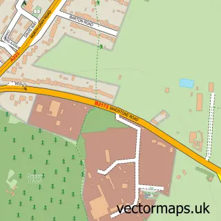
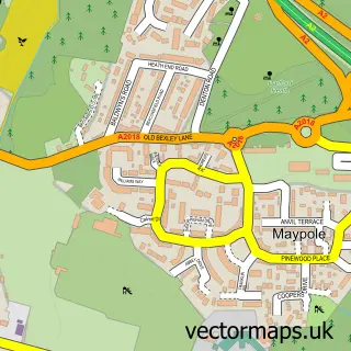
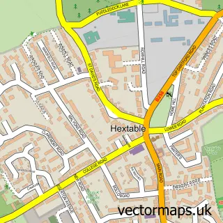
Nearby street map samples around Sidcup


More street maps in Greater London
750 metre map area coverage
Boundary, postcode and point of interest information for the 750m x 750m rectangle centred on this sample map.
Boundaries containing map centre
Constituency: Old Bexley and Sidcup Boro Const
County: Greater London Authority
District: Bexley London Boro
Icb: NHS South East London ICB
Police Force: metropolitan
Postcode District: DA14
Postcode Sector: DA14 6
Ward: Sidcup Ward
Nearby boundaries intersecting sample
Postcode District: DA15
Postcode Sector: DA14 4, DA15 7
Ward: Longlands Ward
Postcode coverage
POI category counts
Automotive Repair: 12
Beauty Salon: 12
Building Supply Store: 9
Hair Salon: 9
Professional Services: 9
Real Estate Agent: 8
Bank Credit Union: 7
Cafe: 7
Charity Organization: 7
It Service And Computer Repair: 7
Sample points of interest
- Toronto Student Lets
- Accurac
- Dyer & Co
- Rofe Colin and Company
- Dynamic Coaching UK
- Just Therapy Healthcare Clinic: Physiotherapy, Massage, Foot Care, Pilates, Acupuncture
- Learning & Enterprise College Bexley
- Ausrowe Marketing
- Brand Visibility
- Kayla's Bar & Kitchen
- Chinese Massage Herbal Remedies
- HORSE & GROOM SIDCUP Sidcup
Create a larger editable map of Sidcup
This sample shows only a 750 metre area. To create a larger map of Sidcup, use our map builder to choose your own coverage area, add titles and download editable SVG, PDF and PNG files.
Create a custom map of Sidcup