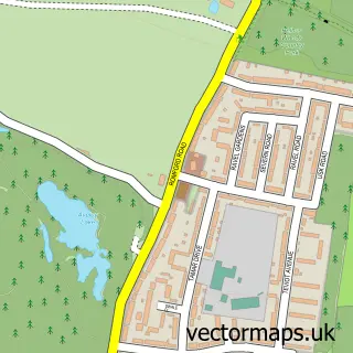
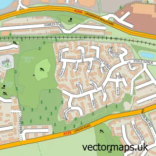
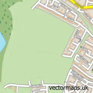
This Purfleet-on-Thames street map is a detailed vector street map covering a 750m x 750m area. Select a larger area to create and download your own vector street map of Purfleet-on-Thames.
The 750-metre map sample for Purfleet-on-Thames covers 155 mapped buildings and approximately 8.5 km of road detail, of which 9 named roads are named. The immediate area includes 1 school, 1 railway station, 2 GP surgeries within 2 miles and 16 MOT stations within 2 miles. The wider area around Purfleet-on-Thames features 1 food and drink venue. To create a larger or custom map of Purfleet-on-Thames, the map builder lets you define your own coverage area and download editable SVG, PDF and PNG files.
Create a larger editable map of Purfleet-on-Thames
Choose any area you need and generate a high-quality vector map instantly. Perfect for print, planning, design, business and personal use.

This Purfleet-on-Thames street map in Essex is available as downloadable SVG, PDF and PNG map files, or as a printed map for planning, business, display, education, local information and design work. You can also create a larger custom map area using the map selector.
What this Purfleet-on-Thames map sample shows
Purfleet-on-Thames lies within Thurrock (B) parish, part of West Thurrock And South Stifford ward in the Thurrock (B) local authority area. The postcode geography for this area includes the RM postcode area, the RM19 postcode district and the RM19 1 postcode sector. Residents fall under the Nhs Mid And South Essex Integrated Care Board for NHS services.
Local features near Purfleet-on-Thames
Within 2 milesAmenities and services in and around Purfleet-on-Thames.
Administrative and postcode information for Purfleet-on-Thames
Purfleet-on-Thames lies within Thurrock (B) parish, part of West Thurrock And South Stifford ward in the Thurrock (B) local authority area. The postcode geography for this area includes the RM postcode area, the RM19 postcode district and the RM19 1 postcode sector. Residents fall under the Nhs Mid And South Essex Integrated Care Board for NHS services.
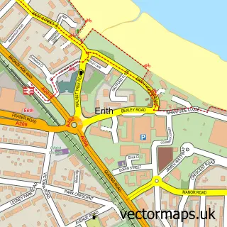
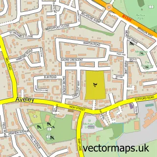
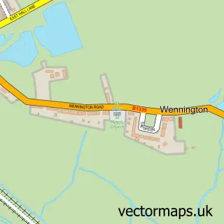
Nearby street map samples around Purfleet-on-Thames

More street maps in Essex
750 metre map area coverage
Boundary, postcode and point of interest information for the 750m x 750m rectangle centred on this sample map.
Boundaries containing map centre
Constituency: Thurrock Boro Const
District: Thurrock (B)
Icb: NHS Essex ICB
Police Force: essex
Postcode District: RM19
Postcode Sector: RM19 1
Ward: West Thurrock and South Stifford Ward
Nearby boundaries intersecting sample
No additional intersecting boundaries found.
Postcode coverage
POI category counts
Freight And Cargo Service: 10
Building Supply Store: 3
Car Dealer: 3
Professional Services: 3
Retail: 3
Automotive Repair: 2
Contractor: 2
Education: 2
Tire Dealer And Repair: 2
Bar And Grill Restaurant: 1
Sample points of interest
- Coryton Commercials
- Crusely Trailer Engineering
- Purfleet Truck Stop
- Essex Extensions
- Bardon Concrete
- Swift Trading
- Tankclean
- K B C Logistics Ltd
- Ruby’s cafe
- Ensignbus Sales
- Fast Tracks Ltd
- JC Motors
Create a larger editable map of Purfleet-on-Thames
This sample shows only a 750 metre area. To create a larger map of Purfleet-on-Thames, use our map builder to choose your own coverage area, add titles and download editable SVG, PDF and PNG files.
Create a custom map of Purfleet-on-Thames