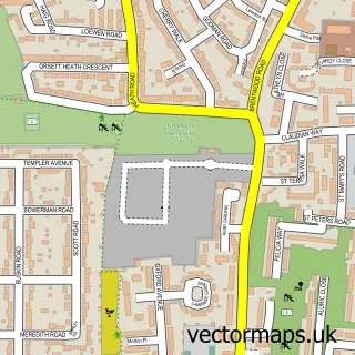
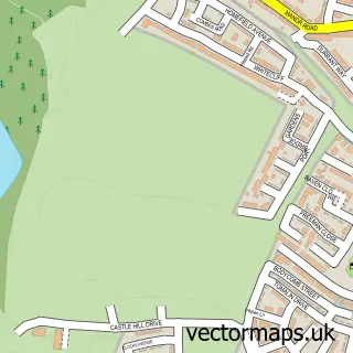
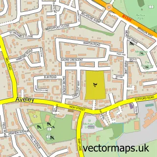
This Grays street map is a detailed vector street map covering a 750m x 750m area. Select a larger area to create and download your own vector street map of Grays.
The 750-metre map sample for Grays covers 292 mapped buildings and approximately 20.3 km of road detail, of which 41 named roads are named. The immediate area includes 1 school, 1 railway station, 4 GP surgeries, with 11 within 2 miles and 5 MOT stations, with 18 within 2 miles. The wider area around Grays features 5 tourism points of interest, 20 food and drink venues and 3 hotels. To create a larger or custom map of Grays, the map builder lets you define your own coverage area and download editable SVG, PDF and PNG files.
Create a larger editable map of Grays
Choose any area you need and generate a high-quality vector map instantly. Perfect for print, planning, design, business and personal use.

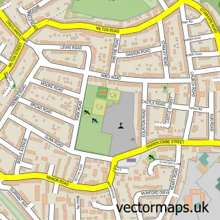
This Grays street map in Essex is available as downloadable SVG, PDF and PNG map files, or as a printed map for planning, business, display, education, local information and design work. You can also create a larger custom map area using the map selector.
What this Grays map sample shows
Grays lies within Thurrock (B) parish, part of Grays Thurrock ward in the Thurrock (B) local authority area. The postcode geography for this area includes the RM postcode area, the RM17 postcode district and the RM17 5 postcode sector. Residents fall under the Nhs Mid And South Essex Integrated Care Board for NHS services.
Local features near Grays
Within 2 milesAmenities and services in and around Grays.
Administrative and postcode information for Grays
Grays lies within Thurrock (B) parish, part of Grays Thurrock ward in the Thurrock (B) local authority area. The postcode geography for this area includes the RM postcode area, the RM17 postcode district and the RM17 5 postcode sector. Residents fall under the Nhs Mid And South Essex Integrated Care Board for NHS services.
Nearby street map samples around Grays

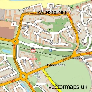
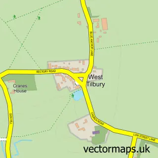
More street maps in Essex
750 metre map area coverage
Boundary, postcode and point of interest information for the 750m x 750m rectangle centred on this sample map.
Boundaries containing map centre
Constituency: Thurrock Boro Const
District: Thurrock (B)
Icb: NHS Essex ICB
Police Force: essex
Postcode District: RM17
Postcode Sector: RM17 6
Ward: Grays Riverside Ward
Nearby boundaries intersecting sample
Postcode Sector: RM17 5
Ward: Grays Thurrock Ward
Postcode coverage
POI category counts
Real Estate Agent: 27
Professional Services: 17
Employment Agencies: 11
Fast Food Restaurant: 11
Beauty Salon: 10
Building Supply Store: 10
Charity Organization: 10
Automotive Repair: 9
Church Cathedral: 9
Discount Store: 9
Sample points of interest
- Brookes Accounting Services Ltd.
- RPCompany Ltd
- Rowland Hall Company Chartered Accountants
- Ssynergy Accountants
- The Tax Lead
- On The River Club
- Dotty Hippo Design
- Fixerflowmarketing
- Peter Still
- The Fixer
- Shoppers Luck
- St Peter & St Paul's, Grays Parish Church
Create a larger editable map of Grays
This sample shows only a 750 metre area. To create a larger map of Grays, use our map builder to choose your own coverage area, add titles and download editable SVG, PDF and PNG files.
Create a custom map of Grays