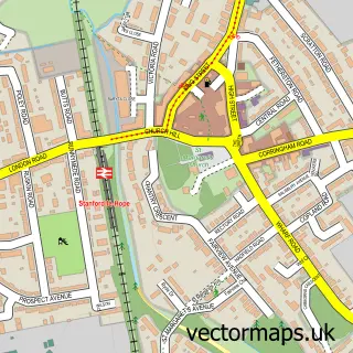
This Orsett street map is a detailed vector street map covering a 750m x 750m area. Select a larger area to create and download your own vector street map of Orsett.
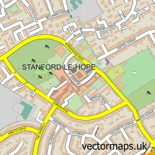
The 750-metre map sample for Orsett covers 353 mapped buildings and approximately 13.0 km of road detail, of which 30 named roads are named. The immediate area includes 1 school, 1 GP surgery, with 3 within 2 miles, 3 pubs and 4 MOT stations within 2 miles. The wider area around Orsett features 4 food and drink venues. To create a larger or custom map of Orsett, the map builder lets you define your own coverage area and download editable SVG, PDF and PNG files.
Create a larger editable map of Orsett
Choose any area you need and generate a high-quality vector map instantly. Perfect for print, planning, design, business and personal use.

This Orsett street map in Essex is available as downloadable SVG, PDF and PNG map files, or as a printed map for planning, business, display, education, local information and design work. You can also create a larger custom map area using the map selector.
What this Orsett map sample shows
Orsett lies within Thurrock (B) parish, part of Orsett ward in the Thurrock (B) local authority area. The postcode geography for this area includes the RM postcode area, the RM16 postcode district and the RM16 3 postcode sector. Residents fall under the Nhs Mid And South Essex Integrated Care Board for NHS services.
Local features near Orsett
Within 2 milesAmenities and services in and around Orsett.
Administrative and postcode information for Orsett
The local authority covering Orsett is Thurrock (B), within the county of Essex. The settlement lies within Orsett ward and Thurrock (B) civil parish. The RM16 postcode district and RM16 3 postcode sector serve the immediate area. NHS provision in the area is delivered through Mid And South Essex Nhs Foundation Trust.
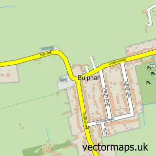
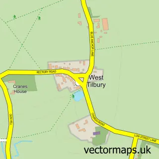
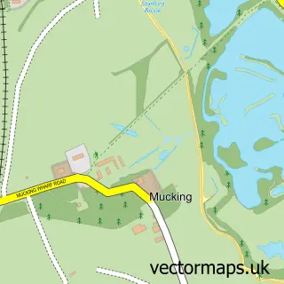
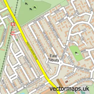
Nearby street map samples around Orsett

More street maps in Essex
750 metre map area coverage
Boundary, postcode and point of interest information for the 750m x 750m rectangle centred on this sample map.
Boundaries containing map centre
Constituency: South Basildon and East Thurrock Co Const
District: Thurrock (B)
Icb: NHS Essex ICB
Police Force: essex
Postcode District: RM16
Postcode Sector: RM16 3
Ward: Orsett Ward
Nearby boundaries intersecting sample
No additional intersecting boundaries found.
Postcode coverage
POI category counts
Anglican Church: 3
Community Services Non Profits: 3
Convenience Store: 3
Hospital: 3
Pub: 3
Contractor: 2
Cremation Services: 2
Doctor: 2
Electrician: 2
Event Planning: 2
Sample points of interest
- St Giles & All Saints, Orsett
- St Giles and All Saints Church
- The Parish of Horndon, Orsett and Bulphan
- Canton Thomas Architects Ltd.
- Orsett Showground in Essex live 2021
- ORSETT STORE
- Alpha Wedding Photography
- Howard Joinery
- Tea 20 Orsett
- Orsett Masonic Hall
- Orsett Village Hall
- Thurrock Art Society
Create a larger editable map of Orsett
This sample shows only a 750 metre area. To create a larger map of Orsett, use our map builder to choose your own coverage area, add titles and download editable SVG, PDF and PNG files.
Create a custom map of Orsett