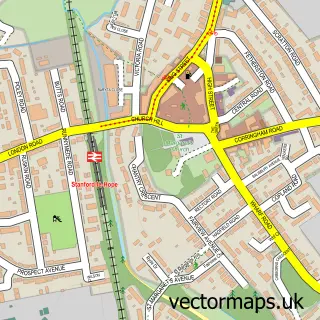
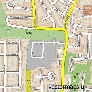
This Mucking street map is a detailed vector street map covering a 750m x 750m area. Select a larger area to create and download your own vector street map of Mucking.
The 750-metre map sample for Mucking covers 25 mapped buildings and approximately 3.6 km of road detail, of which 2 named roads are named. The immediate area includes 6 GP surgeries within 2 miles and 5 MOT stations within 2 miles. The wider area around Mucking features 1 tourism point of interest. To create a larger or custom map of Mucking, the map builder lets you define your own coverage area and download editable SVG, PDF and PNG files.
Create a larger editable map of Mucking
Choose any area you need and generate a high-quality vector map instantly. Perfect for print, planning, design, business and personal use.

This Mucking street map in Essex is available as downloadable SVG, PDF and PNG map files, or as a printed map for planning, business, display, education, local information and design work. You can also create a larger custom map area using the map selector.
What this Mucking map sample shows
Mucking lies within Thurrock (B) parish, part of Stanford-Le-Hope West ward in the Thurrock (B) local authority area. The postcode geography for this area includes the SS postcode area, the SS17 postcode district and the SS17 0 postcode sector. Residents fall under the Nhs Mid And South Essex Integrated Care Board for NHS services.
Local features near Mucking
Within 2 milesAmenities and services in and around Mucking.
Administrative and postcode information for Mucking
The local authority covering Mucking is Thurrock (B), within the county of Essex. The settlement lies within Stanford-Le-Hope West ward and Thurrock (B) civil parish. The SS17 postcode district and SS17 0 postcode sector serve the immediate area. NHS provision in the area is delivered through Mid And South Essex Nhs Foundation Trust.
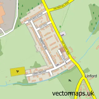
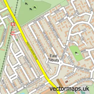
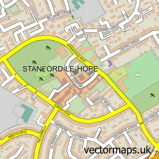
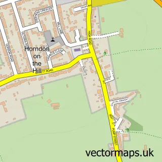
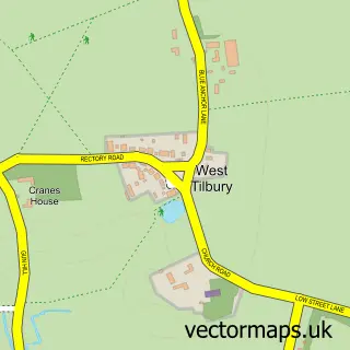
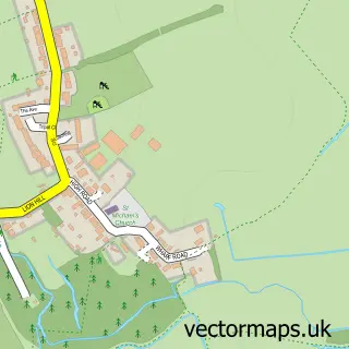
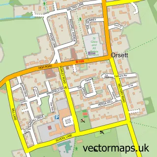
Nearby street map samples around Mucking

More street maps in Essex
750 metre map area coverage
Boundary, postcode and point of interest information for the 750m x 750m rectangle centred on this sample map.
Boundaries containing map centre
Constituency: South Basildon and East Thurrock Co Const
District: Thurrock (B)
Icb: NHS Essex ICB
Police Force: essex
Postcode District: SS17
Postcode Sector: SS17 0
Ward: Stanford-le-Hope West Ward
Nearby boundaries intersecting sample
No additional intersecting boundaries found.
Postcode coverage
POI category counts
Active Life: 1
Assisted Living Facility: 1
Auto Company: 1
Building Supply Store: 1
Church Cathedral: 1
Dog Park: 1
Fishing Club: 1
Home Health Care: 1
Information Technology Company: 1
Kids Recreation And Party: 1
Sample points of interest
- Mucking Nature Reserve
- Home Instead Thurrock | Home Care & Live-In Care
- Monaco by Stanford
- Webbwood
- St John the Baptist
- Paws Playtime
- The Warren Fishery
- Utopia Care Thurrock
- Brightside Connect
- Essex Wildlife Trust
- Shared Insight
Create a larger editable map of Mucking
This sample shows only a 750 metre area. To create a larger map of Mucking, use our map builder to choose your own coverage area, add titles and download editable SVG, PDF and PNG files.
Create a custom map of Mucking