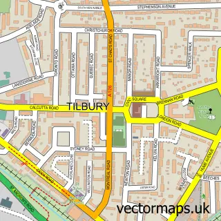
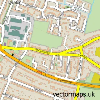
This Chadwell St Mary street map is a detailed vector street map covering a 750m x 750m area. Select a larger area to create and download your own vector street map of Chadwell St Mary.
The 750-metre map sample for Chadwell St Mary covers 451 mapped buildings and approximately 16.6 km of road detail, of which 37 named roads are named. The immediate area includes 1 school, 12 GP surgeries within 2 miles and 12 MOT stations within 2 miles. The wider area around Chadwell St Mary features 1 food and drink venue. To create a larger or custom map of Chadwell St Mary, the map builder lets you define your own coverage area and download editable SVG, PDF and PNG files.
Create a larger editable map of Chadwell St Mary
Choose any area you need and generate a high-quality vector map instantly. Perfect for print, planning, design, business and personal use.

This Chadwell St Mary street map in Essex is available as downloadable SVG, PDF and PNG map files, or as a printed map for planning, business, display, education, local information and design work. You can also create a larger custom map area using the map selector.
What this Chadwell St Mary map sample shows
Chadwell St Mary lies within Thurrock (B) parish, part of Chadwell St Mary ward in the Thurrock (B) local authority area. The postcode geography for this area includes the RM postcode area, the RM16 postcode district and the RM16 4 postcode sector. Residents fall under the Nhs Mid And South Essex Integrated Care Board for NHS services.
Local features near Chadwell St Mary
Within 2 milesAmenities and services in and around Chadwell St Mary.
Administrative and postcode information for Chadwell St Mary
The local authority covering Chadwell St Mary is Thurrock (B), within the county of Essex. The settlement lies within Chadwell St Mary ward and Thurrock (B) civil parish. The RM16 postcode district and RM16 4 postcode sector serve the immediate area. NHS provision in the area is delivered through Mid And South Essex Nhs Foundation Trust.
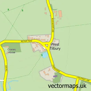
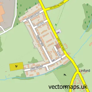
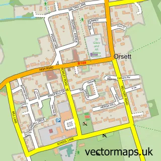
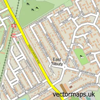
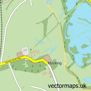
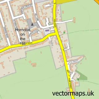
Nearby street map samples around Chadwell St Mary

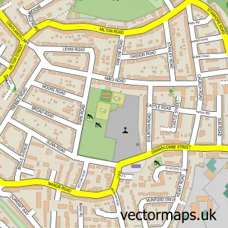
More street maps in Essex
750 metre map area coverage
Boundary, postcode and point of interest information for the 750m x 750m rectangle centred on this sample map.
Boundaries containing map centre
Constituency: South Basildon and East Thurrock Co Const
District: Thurrock (B)
Icb: NHS Essex ICB
Police Force: essex
Postcode District: RM16
Postcode Sector: RM16 4
Ward: Chadwell St. Mary Ward
Nearby boundaries intersecting sample
No additional intersecting boundaries found.
Postcode coverage
POI category counts
Convenience Store: 4
Real Estate Agent: 3
Beauty And Spa: 2
Building Supply Store: 2
Church Cathedral: 2
Contractor: 2
Fish And Chips Restaurant: 2
Gas Station: 2
Pizza Restaurant: 2
Rental Kiosks: 2
Sample points of interest
- Orsett Heath
- Morrisons Daily - Chadwell St Mary Defoe Pd
- Mobile Mechanic Chafford
- Chadwell Traditional Barber and Hairdresser
- Extended Lengths Salon
- Lashes by Taylor
- Coco’S Beauty & Aesthetics
- Ladbrokes
- Here2help
- M C S Developments UK Ltd
- Oh My Cod
- Ladbrokes
Create a larger editable map of Chadwell St Mary
This sample shows only a 750 metre area. To create a larger map of Chadwell St Mary, use our map builder to choose your own coverage area, add titles and download editable SVG, PDF and PNG files.
Create a custom map of Chadwell St Mary