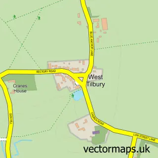
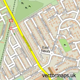
This Tilbury street map is a detailed vector street map covering a 750m x 750m area. Select a larger area to create and download your own vector street map of Tilbury.
The 750-metre map sample for Tilbury covers 529 mapped buildings and approximately 23.9 km of road detail, of which 40 named roads are named. The immediate area includes 1 school, 3 GP surgeries, with 10 within 2 miles and 1 MOT station, with 19 within 2 miles. The wider area around Tilbury features 1 tourism point of interest, 1 food and drink venue and 1 hotel. To create a larger or custom map of Tilbury, the map builder lets you define your own coverage area and download editable SVG, PDF and PNG files.
Create a larger editable map of Tilbury
Choose any area you need and generate a high-quality vector map instantly. Perfect for print, planning, design, business and personal use.

This Tilbury street map in Essex is available as downloadable SVG, PDF and PNG map files, or as a printed map for planning, business, display, education, local information and design work. You can also create a larger custom map area using the map selector.
What this Tilbury map sample shows
Tilbury lies within Thurrock (B) parish, part of Tilbury Riverside And Thurrock Park ward in the Thurrock (B) local authority area. The postcode geography for this area includes the RM postcode area, the RM18 postcode district and the RM18 8 postcode sector. Residents fall under the Nhs Mid And South Essex Integrated Care Board for NHS services.
Local features near Tilbury
Within 2 milesAmenities and services in and around Tilbury.
Administrative and postcode information for Tilbury
Tilbury lies within Thurrock (B) parish, part of Tilbury Riverside And Thurrock Park ward in the Thurrock (B) local authority area. The postcode geography for this area includes the RM postcode area, the RM18 postcode district and the RM18 8 postcode sector. Residents fall under the Nhs Mid And South Essex Integrated Care Board for NHS services.
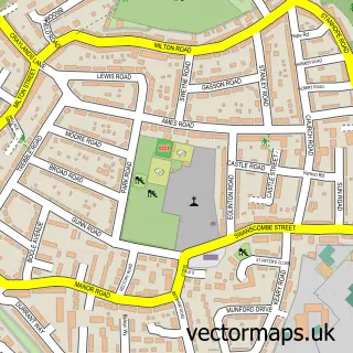
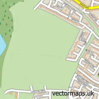
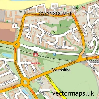
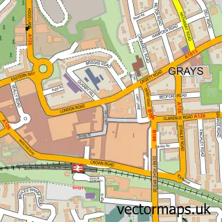
Nearby street map samples around Tilbury

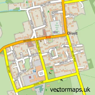
More street maps in Essex
750 metre map area coverage
Boundary, postcode and point of interest information for the 750m x 750m rectangle centred on this sample map.
Boundaries containing map centre
Constituency: Thurrock Boro Const
District: Thurrock (B)
Icb: NHS Essex ICB
Police Force: essex
Postcode District: RM18
Postcode Sector: RM18 8
Ward: Tilbury Riverside and Thurrock Park Ward
Nearby boundaries intersecting sample
Postcode Sector: RM18 7
Ward: Tilbury St. Chads Ward
Postcode coverage
POI category counts
Professional Services: 7
Education: 4
Freight And Cargo Service: 4
Retail: 4
Betting Center: 3
Building Supply Store: 3
Clothing Store: 3
Community Center: 3
Grocery Store: 3
Religious Organization: 3
Sample points of interest
- Sue Ryder Care
- Emmannuel House
- Grape Croft Care Home
- ATM (Post Office)
- Payzone
- Thurrock Caravans
- TradeaTruck
- DG Motors
- Thurrock Caravans
- Belles Bakers
- Barclays Bank
- Fade Trim Barbers
Create a larger editable map of Tilbury
This sample shows only a 750 metre area. To create a larger map of Tilbury, use our map builder to choose your own coverage area, add titles and download editable SVG, PDF and PNG files.
Create a custom map of Tilbury