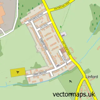
This West Tilbury street map is a detailed vector street map covering a 750m x 750m area. Select a larger area to create and download your own vector street map of West Tilbury.
The 750-metre map sample for West Tilbury covers 64 mapped buildings and approximately 6.9 km of road detail, of which 6 named roads are named. The immediate area includes 5 GP surgeries within 2 miles and 4 MOT stations within 2 miles. To create a larger or custom map of West Tilbury, the map builder lets you define your own coverage area and download editable SVG, PDF and PNG files.
Create a larger editable map of West Tilbury
Choose any area you need and generate a high-quality vector map instantly. Perfect for print, planning, design, business and personal use.

This West Tilbury street map in Essex is available as downloadable SVG, PDF and PNG map files, or as a printed map for planning, business, display, education, local information and design work. You can also create a larger custom map area using the map selector.
What this West Tilbury map sample shows
West Tilbury lies within Thurrock (B) parish, part of East Tilbury ward in the Thurrock (B) local authority area. The postcode geography for this area includes the RM postcode area, the RM18 postcode district and the RM18 8 postcode sector. Residents fall under the Nhs Mid And South Essex Integrated Care Board for NHS services.
Local features near West Tilbury
Within 2 milesAmenities and services in and around West Tilbury.
Administrative and postcode information for West Tilbury
West Tilbury lies within Thurrock (B) parish, part of East Tilbury ward in the Thurrock (B) local authority area. The postcode geography for this area includes the RM postcode area, the RM18 postcode district and the RM18 8 postcode sector. Residents fall under the Nhs Mid And South Essex Integrated Care Board for NHS services.
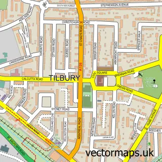
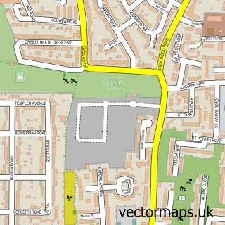
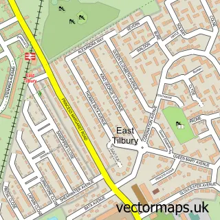
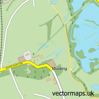
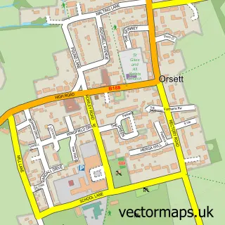
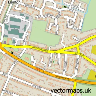
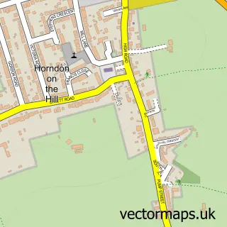
Nearby street map samples around West Tilbury

More street maps in Essex
750 metre map area coverage
Boundary, postcode and point of interest information for the 750m x 750m rectangle centred on this sample map.
Boundaries containing map centre
Constituency: South Basildon and East Thurrock Co Const
District: Thurrock (B)
Icb: NHS Essex ICB
Police Force: essex
Postcode District: RM18
Postcode Sector: RM18 8
Ward: East Tilbury Ward
Nearby boundaries intersecting sample
Constituency: Thurrock Boro Const
Ward: Tilbury St. Chads Ward
Postcode coverage
POI category counts
Electronics: 1
Home Goods Store: 1
Taekwondo Club: 1
Town Hall: 1
Sample points of interest
- P Carter Electrical & Building Contractors
- Timber Designs
- Wade E.w. Tae Kwon Do
- West Tilbury Village Hall
Create a larger editable map of West Tilbury
This sample shows only a 750 metre area. To create a larger map of West Tilbury, use our map builder to choose your own coverage area, add titles and download editable SVG, PDF and PNG files.
Create a custom map of West Tilbury