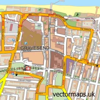
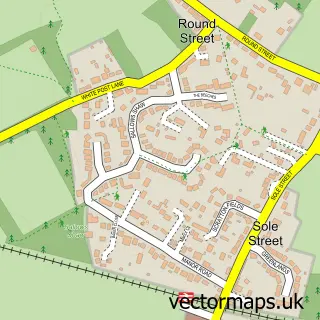
This Chalk street map is a detailed vector street map covering a 750m x 750m area. Select a larger area to create and download your own vector street map of Chalk.
The 750-metre map sample for Chalk covers 549 mapped buildings and approximately 18.6 km of road detail, of which 39 named roads are named. The immediate area includes 1 school, 6 GP surgeries within 2 miles, 1 pub and 1 MOT station, with 13 within 2 miles. The wider area around Chalk features 3 food and drink venues. To create a larger or custom map of Chalk, the map builder lets you define your own coverage area and download editable SVG, PDF and PNG files.
Create a larger editable map of Chalk
Choose any area you need and generate a high-quality vector map instantly. Perfect for print, planning, design, business and personal use.

This Chalk street map in Kent is available as downloadable SVG, PDF and PNG map files, or as a printed map for planning, business, display, education, local information and design work. You can also create a larger custom map area using the map selector.
What this Chalk map sample shows
Chalk lies within Kent County parish, part of Westcourt ward in the Gravesham District (B) local authority area. The postcode geography for this area includes the DA postcode area, the DA12 postcode district and the DA12 4 postcode sector. Residents fall under the Nhs Kent And Medway Integrated Care Board for NHS services.
Local features near Chalk
Within 2 milesAmenities and services in and around Chalk.
Administrative and postcode information for Chalk
The local authority covering Chalk is Gravesham District (B), within the county of Kent. The settlement lies within Westcourt ward and Kent County civil parish. The DA12 postcode district and DA12 4 postcode sector serve the immediate area. NHS provision in the area is delivered through Dartford And Gravesham Nhs Trust.
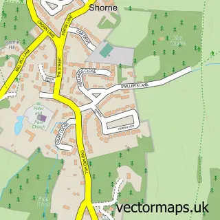
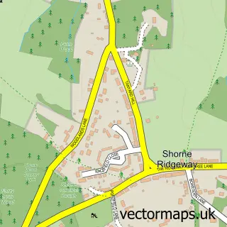
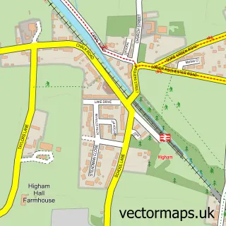
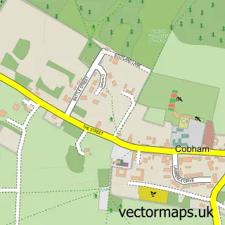
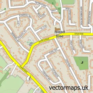
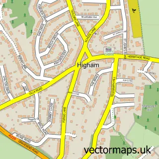
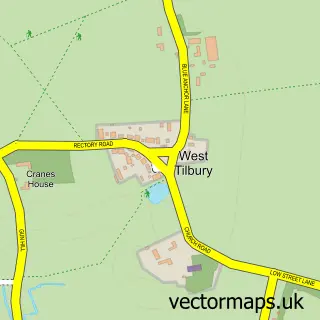
Nearby street map samples around Chalk

More street maps in Kent
750 metre map area coverage
Boundary, postcode and point of interest information for the 750m x 750m rectangle centred on this sample map.
Boundaries containing map centre
Constituency: Gravesham Co Const
County: Kent County
District: Gravesham District (B)
Icb: NHS Kent and Medway ICB
Police Force: kent
Postcode District: DA12
Postcode Sector: DA12 2
Ward: Chalk Ward
Nearby boundaries intersecting sample
Postcode Sector: DA12 4
Ward: Denton Ward, Westcourt Ward
Postcode coverage
POI category counts
College University: 4
Convenience Store: 4
Plumbing: 3
Beauty Salon: 2
Church Cathedral: 2
Dentist: 2
Educational Services: 2
Gas Station: 2
Home Service: 2
Real Estate Agent: 2
Sample points of interest
- The Mask of Colours
- Prestige Motor Co.
- RS Dawe Ltd. Car Servicing and Accident Repairs
- Greggs
- Sparkling Beauty
- Hair by Sabina
- Le Rève
- The White Hart (Harvester)
- EV Point Charging Station
- Kenny's Cafe
- Ladybird Cleaning Services
- Jo Jingles
Create a larger editable map of Chalk
This sample shows only a 750 metre area. To create a larger map of Chalk, use our map builder to choose your own coverage area, add titles and download editable SVG, PDF and PNG files.
Create a custom map of Chalk