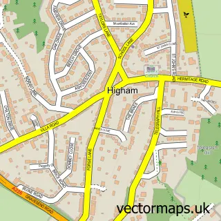
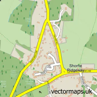
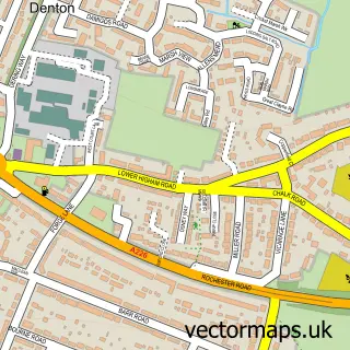
This Lower Higham street map is a detailed vector street map covering a 750m x 750m area. Select a larger area to create and download your own vector street map of Lower Higham.
The 750-metre map sample for Lower Higham covers 175 mapped buildings and approximately 14.6 km of road detail, of which 16 named roads are named. The immediate area includes 1 railway station, 1 GP surgery within 2 miles and 3 MOT stations within 2 miles. To create a larger or custom map of Lower Higham, the map builder lets you define your own coverage area and download editable SVG, PDF and PNG files.
Create a larger editable map of Lower Higham
Choose any area you need and generate a high-quality vector map instantly. Perfect for print, planning, design, business and personal use.

This Lower Higham street map in Kent is available as downloadable SVG, PDF and PNG map files, or as a printed map for planning, business, display, education, local information and design work. You can also create a larger custom map area using the map selector.
What this Lower Higham map sample shows
Lower Higham lies within Higham Cp parish, part of Higham ward in the Gravesham District (B) local authority area. The postcode geography for this area includes the ME postcode area, the ME3 postcode district and the ME3 7 postcode sector. Residents fall under the Nhs Kent And Medway Integrated Care Board for NHS services.
Local features near Lower Higham
Within 2 milesAmenities and services in and around Lower Higham.
Administrative and postcode information for Lower Higham
The local authority covering Lower Higham is Gravesham District (B), within the county of Kent. The settlement lies within Higham ward and Higham Cp civil parish. The ME3 postcode district and ME3 7 postcode sector serve the immediate area. NHS provision in the area is delivered through Dartford And Gravesham Nhs Trust.
Nearby street map samples around Lower Higham
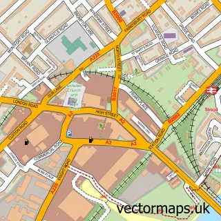

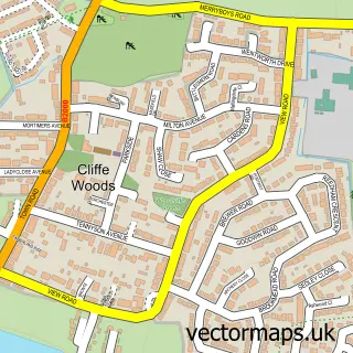
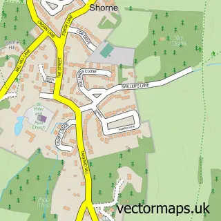
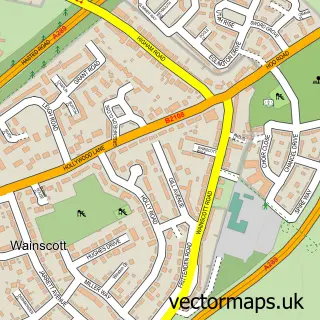
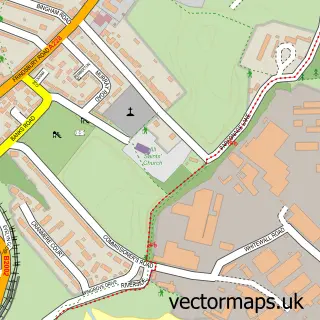
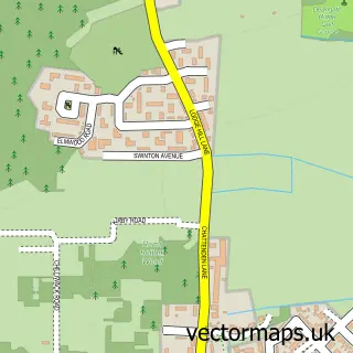
More street maps in Kent
750 metre map area coverage
Boundary, postcode and point of interest information for the 750m x 750m rectangle centred on this sample map.
Boundaries containing map centre
Constituency: Gravesham Co Const
County: Kent County
District: Gravesham District (B)
Icb: NHS Kent and Medway ICB
Parish: Higham CP
Police Force: kent
Postcode District: ME3
Postcode Sector: ME3 7
Ward: Higham & Shorne Ward
Nearby boundaries intersecting sample
No additional intersecting boundaries found.
Postcode coverage
POI category counts
Train Station: 4
Automotive Repair: 2
Arts And Entertainment: 1
Building Supply Store: 1
Junk Removal And Hauling: 1
Laundry Services: 1
Metal Fabricator: 1
Naturopathic Holistic: 1
Professional Services: 1
Sports And Recreation Venue: 1
Sample points of interest
- Higham Village Hall
- Kingsway Motors
- Lower Higham Service Station
- Craft Works Joinery
- Teleporters Ltd.
- Equipets
- Galdans
- The Reiki Edit
- Moor Fast Marine
- Rug Scrubbers
- Higham
- Higham (Kent) railway station
Create a larger editable map of Lower Higham
This sample shows only a 750 metre area. To create a larger map of Lower Higham, use our map builder to choose your own coverage area, add titles and download editable SVG, PDF and PNG files.
Create a custom map of Lower Higham