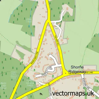
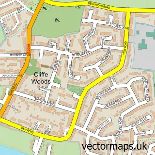
This Shorne street map is a detailed vector street map covering a 750m x 750m area. Select a larger area to create and download your own vector street map of Shorne.
The 750-metre map sample for Shorne covers 204 mapped buildings and approximately 10.0 km of road detail, of which 14 named roads are named. The immediate area includes 1 school, 2 pubs and 2 MOT stations within 2 miles. The wider area around Shorne features 3 food and drink venues. To create a larger or custom map of Shorne, the map builder lets you define your own coverage area and download editable SVG, PDF and PNG files.
Create a larger editable map of Shorne
Choose any area you need and generate a high-quality vector map instantly. Perfect for print, planning, design, business and personal use.

This Shorne street map in Kent is available as downloadable SVG, PDF and PNG map files, or as a printed map for planning, business, display, education, local information and design work. You can also create a larger custom map area using the map selector.
What this Shorne map sample shows
Shorne lies within Shorne Cp parish, part of Shorne, Cobham And Luddesdown ward in the Gravesham District (B) local authority area. The postcode geography for this area includes the DA postcode area, the DA12 postcode district and the DA12 3 postcode sector. Residents fall under the Nhs Kent And Medway Integrated Care Board for NHS services.
Local features near Shorne
Within 2 milesAmenities and services in and around Shorne.
Administrative and postcode information for Shorne
The local authority covering Shorne is Gravesham District (B), within the county of Kent. The settlement lies within Shorne, Cobham And Luddesdown ward and Shorne Cp civil parish. The DA12 postcode district and DA12 3 postcode sector serve the immediate area. NHS provision in the area is delivered through Dartford And Gravesham Nhs Trust.
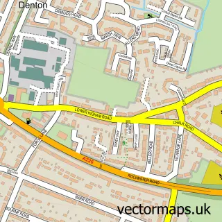
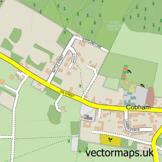
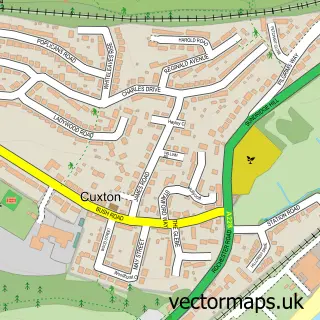
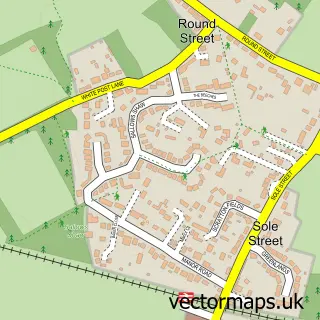
Nearby street map samples around Shorne

More street maps in Kent
750 metre map area coverage
Boundary, postcode and point of interest information for the 750m x 750m rectangle centred on this sample map.
Boundaries containing map centre
Constituency: Gravesham Co Const
County: Kent County
District: Gravesham District (B)
Icb: NHS Kent and Medway ICB
Parish: Shorne CP
Police Force: kent
Postcode District: DA12
Postcode Sector: DA12 3
Ward: Higham & Shorne Ward
Nearby boundaries intersecting sample
No additional intersecting boundaries found.
Postcode coverage
POI category counts
Church Cathedral: 2
Hair Salon: 2
Pub: 2
Scout Hall: 2
Anglican Church: 1
Beauty Salon: 1
Business To Business: 1
Coffee Shop: 1
Community Center: 1
Community Services Non Profits: 1
Sample points of interest
- Shorne: St Peter & St Paul
- Contrasts Hair Salon
- Loft Smart
- Shorne Parish Church
- St Peter & St Paul's Church
- No 3 Coffee shop
- Shorne Village Hall
- Shorne Parish Council
- Tasha Jacks Ltd
- Shorne Village Surgery
- British College Of Aesthetic Medicine
- Shorne Church of England Primary School
Create a larger editable map of Shorne
This sample shows only a 750 metre area. To create a larger map of Shorne, use our map builder to choose your own coverage area, add titles and download editable SVG, PDF and PNG files.
Create a custom map of Shorne