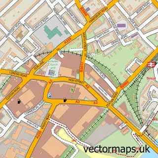
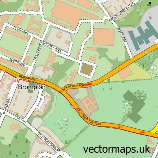
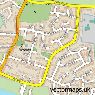
This Frindsbury street map is a detailed vector street map covering a 750m x 750m area. Select a larger area to create and download your own vector street map of Frindsbury.
The 750-metre map sample for Frindsbury covers 216 mapped buildings and approximately 11.5 km of road detail, of which 20 named roads are named. The immediate area includes 9 GP surgeries within 2 miles and 1 MOT station, with 25 within 2 miles. The wider area around Frindsbury features 4 tourism points of interest, 1 food and drink venue and 1 hotel. To create a larger or custom map of Frindsbury, the map builder lets you define your own coverage area and download editable SVG, PDF and PNG files.
Create a larger editable map of Frindsbury
Choose any area you need and generate a high-quality vector map instantly. Perfect for print, planning, design, business and personal use.

This Frindsbury street map in Kent is available as downloadable SVG, PDF and PNG map files, or as a printed map for planning, business, display, education, local information and design work. You can also create a larger custom map area using the map selector.
What this Frindsbury map sample shows
Frindsbury lies within Medway (B) parish, part of Strood North ward in the Medway (B) local authority area. The postcode geography for this area includes the ME postcode area, the ME2 postcode district and the ME2 4 postcode sector. Residents fall under the Nhs Kent And Medway Integrated Care Board for NHS services.
Local features near Frindsbury
Within 2 milesAmenities and services in and around Frindsbury.
Administrative and postcode information for Frindsbury
The local authority covering Frindsbury is Medway (B), within the county of Kent. The settlement lies within Strood North ward and Medway (B) civil parish. The ME2 postcode district and ME2 4 postcode sector serve the immediate area. NHS provision in the area is delivered through Medway Nhs Foundation Trust.
Nearby street map samples around Frindsbury

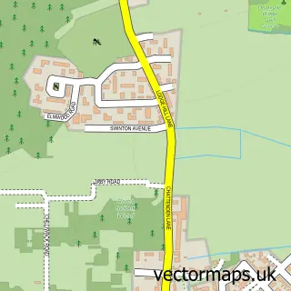
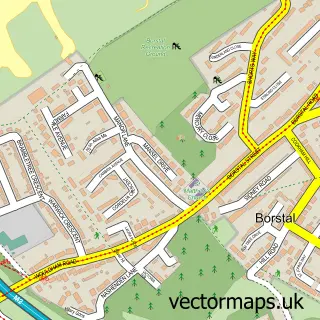
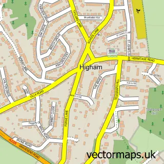
More street maps in Kent
750 metre map area coverage
Boundary, postcode and point of interest information for the 750m x 750m rectangle centred on this sample map.
Boundaries containing map centre
Constituency: Rochester and Strood Co Const
District: Medway (B)
Icb: NHS Kent and Medway ICB
Police Force: kent
Postcode District: ME2
Postcode Sector: ME2 4
Ward: Strood North & Frindsbury Ward
Nearby boundaries intersecting sample
Parish: Frindsbury Extra CP
Ward: Strood Rural Ward
Postcode coverage
POI category counts
Industrial Equipment: 6
Professional Services: 5
Beauty Salon: 4
Assisted Living Facility: 3
Church Cathedral: 3
Convenience Store: 3
Auto Body Shop: 2
Car Dealer: 2
Car Rental Agency: 2
Contractor: 2
Sample points of interest
- Robert a Burge
- Diggerland Head Office
- Frindsbury: All Saints
- Ampersand House
- Orchard View
- Regard Partnership
- The Finishing Touch
- The Finishing Touch
- EV Sales
- The Sans Pareil
- Ben Aldridge - Medway Colour Specialist
- Chris Hair Care Centre
Create a larger editable map of Frindsbury
This sample shows only a 750 metre area. To create a larger map of Frindsbury, use our map builder to choose your own coverage area, add titles and download editable SVG, PDF and PNG files.
Create a custom map of Frindsbury