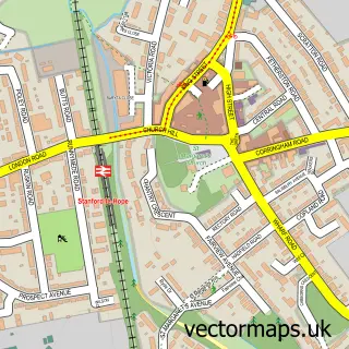
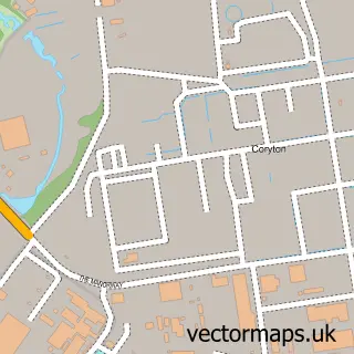
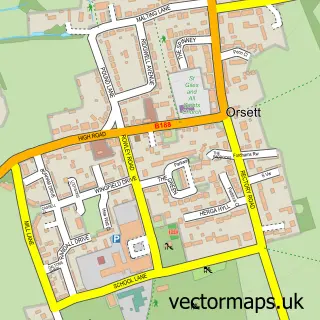
This Corringham street map is a detailed vector street map covering a 750m x 750m area. Select a larger area to create and download your own vector street map of Corringham.
The 750-metre map sample for Corringham covers 469 mapped buildings and approximately 18.5 km of road detail, of which 41 named roads are named. The immediate area includes 2 schools, 5 GP surgeries within 2 miles and 5 MOT stations within 2 miles. The wider area around Corringham features 4 food and drink venues and 1 hotel. To create a larger or custom map of Corringham, the map builder lets you define your own coverage area and download editable SVG, PDF and PNG files.
Create a larger editable map of Corringham
Choose any area you need and generate a high-quality vector map instantly. Perfect for print, planning, design, business and personal use.

This Corringham street map in Essex is available as downloadable SVG, PDF and PNG map files, or as a printed map for planning, business, display, education, local information and design work. You can also create a larger custom map area using the map selector.
What this Corringham map sample shows
Corringham lies within Thurrock (B) parish, part of Corringham And Fobbing ward in the Thurrock (B) local authority area. The postcode geography for this area includes the SS postcode area, the SS17 postcode district and the SS17 9 postcode sector. Residents fall under the Nhs Mid And South Essex Integrated Care Board for NHS services.
Local features near Corringham
Within 2 milesAmenities and services in and around Corringham.
Administrative and postcode information for Corringham
The local authority covering Corringham is Thurrock (B), within the county of Essex. The settlement lies within Corringham And Fobbing ward and Thurrock (B) civil parish. The SS17 postcode district and SS17 9 postcode sector serve the immediate area. NHS provision in the area is delivered through Mid And South Essex Nhs Foundation Trust.
Nearby street map samples around Corringham

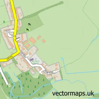
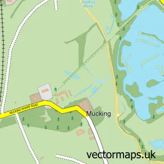
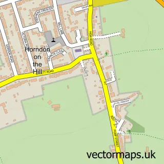
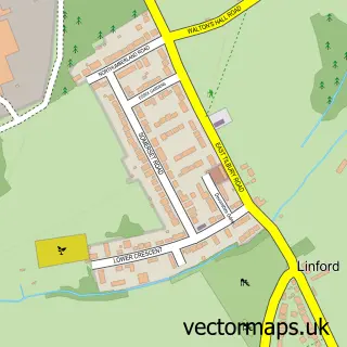
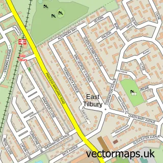
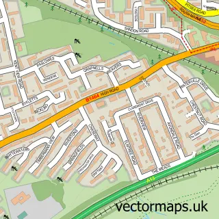
More street maps in Essex
750 metre map area coverage
Boundary, postcode and point of interest information for the 750m x 750m rectangle centred on this sample map.
Boundaries containing map centre
Constituency: South Basildon and East Thurrock Co Const
District: Thurrock (B)
Icb: NHS Essex ICB
Police Force: essex
Postcode District: SS17
Postcode Sector: SS17 7
Ward: Stanford East and Corringham Town Ward
Nearby boundaries intersecting sample
Ward: Corringham and Fobbing Ward
Postcode coverage
POI category counts
Convenience Store: 5
Bakery: 4
Fast Food Restaurant: 4
Shipping Center: 4
Banks: 3
Betting Center: 3
Cafe: 3
Charity Organization: 3
Church Cathedral: 3
Flowers And Gifts Shop: 3
Sample points of interest
- JMC Accountancy
- St John the Evangelist, Corringham
- Crafty Wool Barn
- Your Do It Yourself Centre
- Thurrock Borough Council
- ATM (Post Office)
- Eagle News, Corringham
- Denhams Mobile Bodyshop
- B.B. Grout
- Greggs
- Lauren Rose Aesthetics
- Paulette's Bakery
Create a larger editable map of Corringham
This sample shows only a 750 metre area. To create a larger map of Corringham, use our map builder to choose your own coverage area, add titles and download editable SVG, PDF and PNG files.
Create a custom map of Corringham