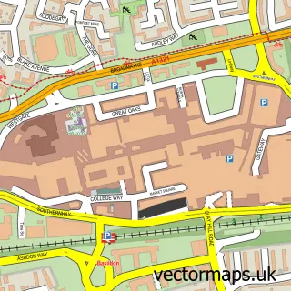
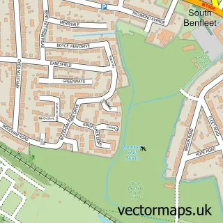
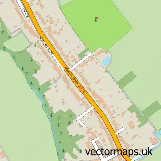
This Vange street map is a detailed vector street map covering a 750m x 750m area. Select a larger area to create and download your own vector street map of Vange.
The 750-metre map sample for Vange covers 307 mapped buildings and approximately 18.6 km of road detail, of which 37 named roads are named. The immediate area includes 1 school, 12 GP surgeries within 2 miles and 1 MOT station, with 16 within 2 miles. The wider area around Vange features 1 tourism point of interest. To create a larger or custom map of Vange, the map builder lets you define your own coverage area and download editable SVG, PDF and PNG files.
Create a larger editable map of Vange
Choose any area you need and generate a high-quality vector map instantly. Perfect for print, planning, design, business and personal use.

This Vange street map in Essex is available as downloadable SVG, PDF and PNG map files, or as a printed map for planning, business, display, education, local information and design work. You can also create a larger custom map area using the map selector.
What this Vange map sample shows
Vange lies within Essex County parish, part of Vange ward in the Basildon District (B) local authority area. The postcode geography for this area includes the SS postcode area, the SS16 postcode district and the SS16 4 postcode sector. Residents fall under the Nhs Mid And South Essex Integrated Care Board for NHS services.
Local features near Vange
Within 2 milesAmenities and services in and around Vange.
Administrative and postcode information for Vange
The local authority covering Vange is Basildon District (B), within the county of Essex. The settlement lies within Vange ward and Essex County civil parish. The SS16 postcode district and SS16 4 postcode sector serve the immediate area. NHS provision in the area is delivered through Mid And South Essex Nhs Foundation Trust.
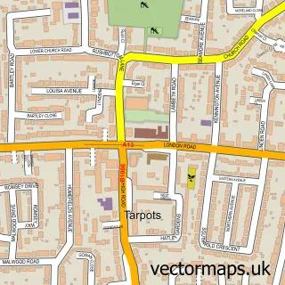
Nearby street map samples around Vange

More street maps in Essex
750 metre map area coverage
Boundary, postcode and point of interest information for the 750m x 750m rectangle centred on this sample map.
Boundaries containing map centre
Constituency: South Basildon and East Thurrock Co Const
County: Essex County
District: Basildon District (B)
Icb: NHS Essex ICB
Police Force: essex
Postcode District: SS16
Postcode Sector: SS16 4
Ward: Pitsea South East Ward
Nearby boundaries intersecting sample
Constituency: Basildon and Billericay Boro Const
Postcode District: SS13, SS14
Postcode Sector: SS13 3, SS14 1
Ward: St. Martin's Ward
Postcode coverage
POI category counts
Dentist: 3
Preschool: 3
Automotive Repair: 2
Business Management Services: 2
Caterer: 2
Community Services Non Profits: 2
Construction Services: 2
Flowers And Gifts Shop: 2
Assisted Living Facility: 1
Building Contractor: 1
Sample points of interest
- Caretech
- Advance Tyres
- R L Services
- David Ayton
- b Creative Branding
- b Design
- Sandon Food & Wine
- Asiancaterers
- Tina's Heaven Kitchen
- RCCG Fruitful Vine Centre
- Kent View Community Centre
- 8th Basildon Scout Group
Create a larger editable map of Vange
This sample shows only a 750 metre area. To create a larger map of Vange, use our map builder to choose your own coverage area, add titles and download editable SVG, PDF and PNG files.
Create a custom map of Vange