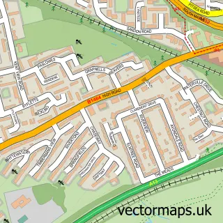
This Noak Hill street map is a detailed vector street map covering a 750m x 750m area. Select a larger area to create and download your own vector street map of Noak Hill.
The 750-metre map sample for Noak Hill covers 233 mapped buildings and approximately 3.2 km of road detail, of which 5 named roads are named. The immediate area includes 5 GP surgeries within 2 miles and 21 MOT stations within 2 miles. To create a larger or custom map of Noak Hill, the map builder lets you define your own coverage area and download editable SVG, PDF and PNG files.
Create a larger editable map of Noak Hill
Choose any area you need and generate a high-quality vector map instantly. Perfect for print, planning, design, business and personal use.

This Noak Hill street map in Essex is available as downloadable SVG, PDF and PNG map files, or as a printed map for planning, business, display, education, local information and design work. You can also create a larger custom map area using the map selector.
What this Noak Hill map sample shows
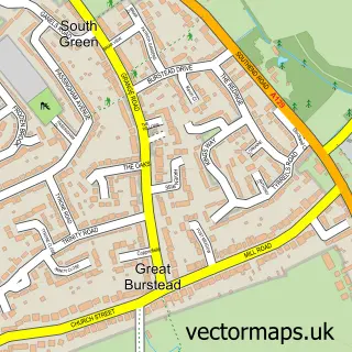
Noak Hill lies within Great Burstead And South Green Cp parish, part of Burstead ward in the Basildon District (B) local authority area. The postcode geography for this area includes the CM postcode area, the CM11 postcode district and the CM11 2 postcode sector. Residents fall under the Nhs Mid And South Essex Integrated Care Board for NHS services.
Local features near Noak Hill
Within 2 milesAmenities and services in and around Noak Hill.
Administrative and postcode information for Noak Hill
Noak Hill lies within Great Burstead And South Green Cp parish, part of Burstead ward in the Basildon District (B) local authority area. The postcode geography for this area includes the CM postcode area, the CM11 postcode district and the CM11 2 postcode sector. Residents fall under the Nhs Mid And South Essex Integrated Care Board for NHS services.
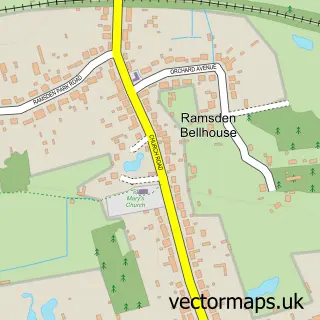
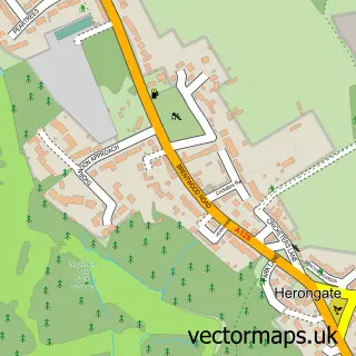
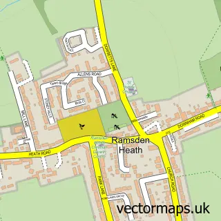
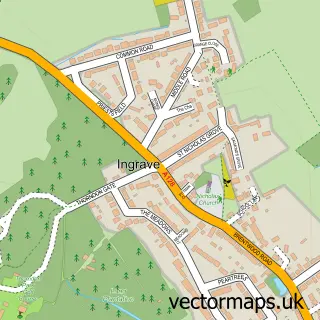
Nearby street map samples around Noak Hill

More street maps in Essex
750 metre map area coverage
Boundary, postcode and point of interest information for the 750m x 750m rectangle centred on this sample map.
Boundaries containing map centre
Constituency: Basildon and Billericay Boro Const
County: Essex County
District: Basildon District (B)
Icb: NHS Essex ICB
Parish: Great Burstead and South Green CP
Police Force: essex
Postcode District: CM12
Postcode Sector: CM12 9
Ward: Burstead Ward
Nearby boundaries intersecting sample
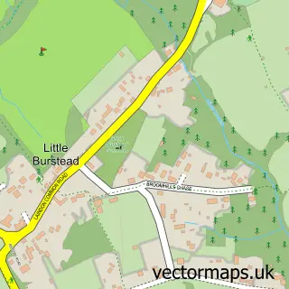
Parish: Little Burstead CP, Noak Bridge CP
Postcode District: CM11, SS15
Postcode Sector: CM11 2, SS15 4
Ward: Castledon & Crouch Ward
Postcode coverage
POI category counts
Building Supply Store: 2
Golf Course: 2
Beauty And Spa: 1
Beauty Salon: 1
Engineering Services: 1
Garbage Collection Service: 1
Information Technology Company: 1
Martial Arts Club: 1
Party Supply: 1
Sample points of interest
- Elegancebyelle
- Lisa's Lashes
- Noak Bridge Consultants
- Reeves Salt Direct
- Noak Bridge Consultants
- Anglian Environmental Services
- Noak Hill Golf Course
- Noak Hill Golf Course
- B-Squared It Consulting Ltd
- RT-BJJ Brazilian Jiu Jitsu School
- Fantasy Balloon Services
Create a larger editable map of Noak Hill
This sample shows only a 750 metre area. To create a larger map of Noak Hill, use our map builder to choose your own coverage area, add titles and download editable SVG, PDF and PNG files.
Create a custom map of Noak Hill