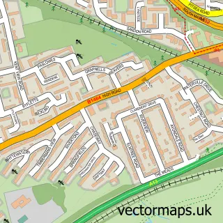
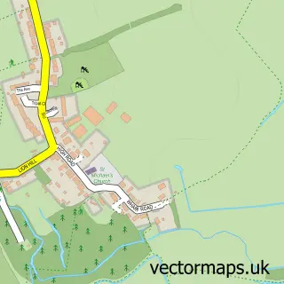
This Basildon street map is a detailed vector street map covering a 750m x 750m area. Select a larger area to create and download your own vector street map of Basildon.
The 750-metre map sample for Basildon covers 143 mapped buildings and approximately 21.4 km of road detail, of which 31 named roads are named. The immediate area includes 1 railway station, 10 GP surgeries within 2 miles, 5 pubs and 20 MOT stations within 2 miles. The wider area around Basildon features 5 tourism points of interest and 37 food and drink venues. To create a larger or custom map of Basildon, the map builder lets you define your own coverage area and download editable SVG, PDF and PNG files.
Create a larger editable map of Basildon
Choose any area you need and generate a high-quality vector map instantly. Perfect for print, planning, design, business and personal use.

This Basildon street map in Essex is available as downloadable SVG, PDF and PNG map files, or as a printed map for planning, business, display, education, local information and design work. You can also create a larger custom map area using the map selector.
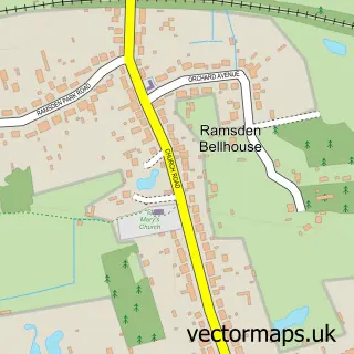
What this Basildon map sample shows
Basildon lies within Essex County parish, part of Fryerns ward in the Basildon District (B) local authority area. The postcode geography for this area includes the SS postcode area, the SS14 postcode district and the SS14 3 postcode sector. Residents fall under the Nhs Mid And South Essex Integrated Care Board for NHS services.
Local features near Basildon
Within 2 milesAmenities and services in and around Basildon.
Administrative and postcode information for Basildon
The local authority covering Basildon is Basildon District (B), within the county of Essex. The settlement lies within Fryerns ward and Essex County civil parish. The SS14 postcode district and SS14 3 postcode sector serve the immediate area. NHS provision in the area is delivered through Mid And South Essex Nhs Foundation Trust.
Nearby street map samples around Basildon

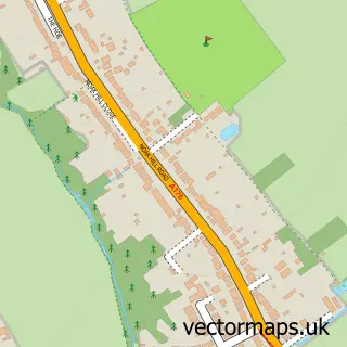
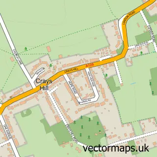
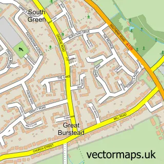
More street maps in Essex
750 metre map area coverage
Boundary, postcode and point of interest information for the 750m x 750m rectangle centred on this sample map.
Boundaries containing map centre
Constituency: Basildon and Billericay Boro Const
County: Essex County
District: Basildon District (B)
Icb: NHS Essex ICB
Police Force: essex
Postcode District: SS14
Postcode Sector: SS14 1
Ward: St. Martin's Ward
Nearby boundaries intersecting sample
Constituency: South Basildon and East Thurrock Co Const
Postcode District: SS16
Postcode Sector: SS14 2, SS16 5
Ward: Nethermayne Ward
Postcode coverage
POI category counts
Clothing Store: 22
Fast Food Restaurant: 14
Beauty Salon: 13
Cafe: 13
Discount Store: 13
Employment Agencies: 13
Hair Salon: 13
Mobile Phone Store: 11
Restaurant: 11
Shoe Store: 11
Sample points of interest
- MSB Basildon
- Page Creative
- Miolad Foods
- Basildon Ambulance Station
- Jessie-Lou's
- Clue Finders Basildon
- FunParx Basildon
- Basildon: St Martin of Tours
- Scope Charity Shop
- Home Curtains & Bedding
- Eastgate Art
- Framing Gallery
Create a larger editable map of Basildon
This sample shows only a 750 metre area. To create a larger map of Basildon, use our map builder to choose your own coverage area, add titles and download editable SVG, PDF and PNG files.
Create a custom map of Basildon