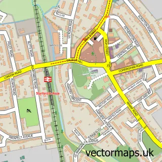
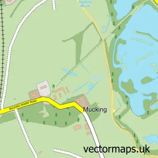
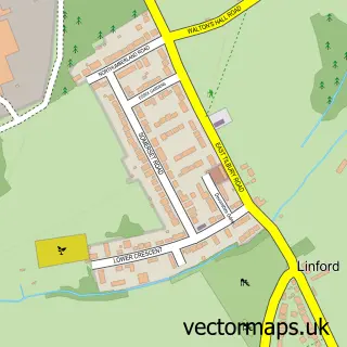
This Fobbing street map is a detailed vector street map covering a 750m x 750m area. Select a larger area to create and download your own vector street map of Fobbing.
The 750-metre map sample for Fobbing covers 114 mapped buildings and approximately 2.9 km of road detail, of which 6 named roads are named. The immediate area includes 2 GP surgeries within 2 miles, 1 pub and 1 MOT station within 2 miles. The wider area around Fobbing features 2 tourism points of interest and 1 food and drink venue. To create a larger or custom map of Fobbing, the map builder lets you define your own coverage area and download editable SVG, PDF and PNG files.
Create a larger editable map of Fobbing
Choose any area you need and generate a high-quality vector map instantly. Perfect for print, planning, design, business and personal use.

This Fobbing street map in Essex is available as downloadable SVG, PDF and PNG map files, or as a printed map for planning, business, display, education, local information and design work. You can also create a larger custom map area using the map selector.
What this Fobbing map sample shows
Fobbing lies within Thurrock (B) parish, part of Corringham And Fobbing ward in the Thurrock (B) local authority area. The postcode geography for this area includes the SS postcode area, the SS17 postcode district and the SS17 9 postcode sector. Residents fall under the Nhs Mid And South Essex Integrated Care Board for NHS services.
Local features near Fobbing
Within 2 milesAmenities and services in and around Fobbing.
Administrative and postcode information for Fobbing
Fobbing lies within Thurrock (B) parish, part of Corringham And Fobbing ward in the Thurrock (B) local authority area. The postcode geography for this area includes the SS postcode area, the SS17 postcode district and the SS17 9 postcode sector. Residents fall under the Nhs Mid And South Essex Integrated Care Board for NHS services.
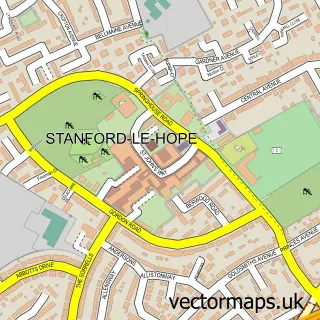
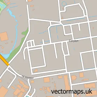
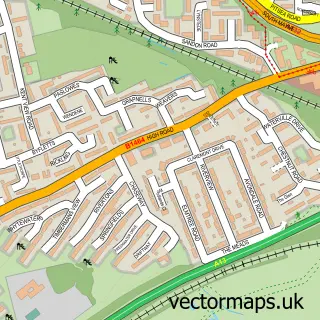
Nearby street map samples around Fobbing

More street maps in Essex
750 metre map area coverage
Boundary, postcode and point of interest information for the 750m x 750m rectangle centred on this sample map.
Boundaries containing map centre
Constituency: South Basildon and East Thurrock Co Const
District: Thurrock (B)
Icb: NHS Essex ICB
Police Force: essex
Postcode District: SS17
Postcode Sector: SS17 9
Ward: Corringham and Fobbing Ward
Nearby boundaries intersecting sample
No additional intersecting boundaries found.
Postcode coverage
POI category counts
Building Supply Store: 3
Contractor: 3
Beauty Salon: 2
Park: 2
Anglican Church: 1
Church Cathedral: 1
Clothing Store: 1
Furniture Accessory Store: 1
Furniture Assembly: 1
Furniture Store: 1
Sample points of interest
- Fobbing: St Michael
- Essencia Health & Beauty Clinic
- Fobbing Laser Hair Removal and Beauty clinic
- Eatonair
- Essex Artificial Grass
- F J Merrison & Son
- St Michael's Church
- Allyness Ltd
- Ashdon Insulations Ltd
- EatonAir Ltd
- Horwood Construction
- S Hill
Create a larger editable map of Fobbing
This sample shows only a 750 metre area. To create a larger map of Fobbing, use our map builder to choose your own coverage area, add titles and download editable SVG, PDF and PNG files.
Create a custom map of Fobbing