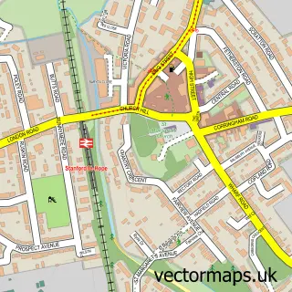
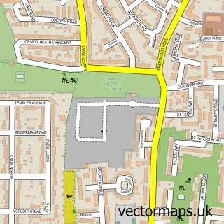
This Linford street map is a detailed vector street map covering a 750m x 750m area. Select a larger area to create and download your own vector street map of Linford.
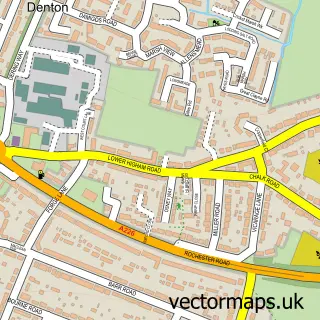
The 750-metre map sample for Linford covers 189 mapped buildings and approximately 9.5 km of road detail, of which 10 named roads are named. The immediate area includes 2 GP surgeries within 2 miles, 1 pub and 5 MOT stations within 2 miles. The wider area around Linford features 2 tourism points of interest and 1 food and drink venue. To create a larger or custom map of Linford, the map builder lets you define your own coverage area and download editable SVG, PDF and PNG files.
Create a larger editable map of Linford
Choose any area you need and generate a high-quality vector map instantly. Perfect for print, planning, design, business and personal use.

This Linford street map in Essex is available as downloadable SVG, PDF and PNG map files, or as a printed map for planning, business, display, education, local information and design work. You can also create a larger custom map area using the map selector.
What this Linford map sample shows
Linford lies within Thurrock (B) parish, part of East Tilbury ward in the Thurrock (B) local authority area. The postcode geography for this area includes the SS postcode area, the SS17 postcode district and the SS17 0 postcode sector. Residents fall under the Nhs Mid And South Essex Integrated Care Board for NHS services.
Local features near Linford
Within 2 milesAmenities and services in and around Linford.
Administrative and postcode information for Linford
The local authority covering Linford is Thurrock (B), within the county of Essex. The settlement lies within East Tilbury ward and Thurrock (B) civil parish. The SS17 postcode district and SS17 0 postcode sector serve the immediate area. NHS provision in the area is delivered through Mid And South Essex Nhs Foundation Trust.
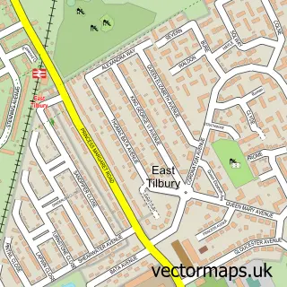
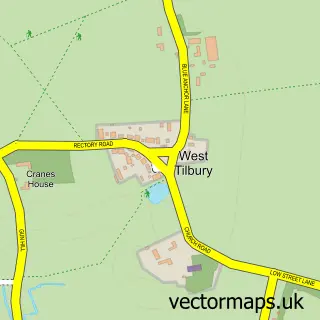
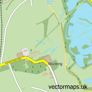
Nearby street map samples around Linford

More street maps in Essex
750 metre map area coverage
Boundary, postcode and point of interest information for the 750m x 750m rectangle centred on this sample map.
Boundaries containing map centre
Constituency: South Basildon and East Thurrock Co Const
District: Thurrock (B)
Icb: NHS Essex ICB
Police Force: essex
Postcode District: SS17
Postcode Sector: SS17 0
Ward: East Tilbury Ward
Nearby boundaries intersecting sample
No additional intersecting boundaries found.
Postcode coverage
POI category counts
Park: 2
Retirement Home: 2
Anglican Church: 1
Burger Restaurant: 1
Bus Service: 1
Butcher Shop: 1
Chinese Restaurant: 1
Church Cathedral: 1
Contractor: 1
Convenience Store: 1
Sample points of interest
- St. Francis centre
- King Kebab and Burger
- Keane Travel
- J York Butchers
- China Town
- Linford Methodist Church
- Macadamac Surfaces Ltd
- Lloyds Stores
- Dj Luke Harrod
- Blooming Babies Day Nursery Limited
- Kara Ashleigh Ltd
- Thurrock
Create a larger editable map of Linford
This sample shows only a 750 metre area. To create a larger map of Linford, use our map builder to choose your own coverage area, add titles and download editable SVG, PDF and PNG files.
Create a custom map of Linford