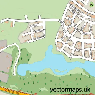
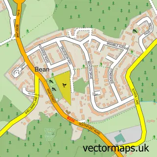
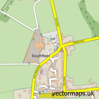
This Ashmere street map is a detailed vector street map covering a 750m x 750m area. Select a larger area to create and download your own vector street map of Ashmere.
The 750-metre map sample for Ashmere covers 269 mapped buildings and approximately 13.8 km of road detail, of which 18 named roads are named. The immediate area includes 3 GP surgeries within 2 miles and 17 MOT stations within 2 miles. To create a larger or custom map of Ashmere, the map builder lets you define your own coverage area and download editable SVG, PDF and PNG files.
Create a larger editable map of Ashmere
Choose any area you need and generate a high-quality vector map instantly. Perfect for print, planning, design, business and personal use.

This Ashmere street map in Kent is available as downloadable SVG, PDF and PNG map files, or as a printed map for planning, business, display, education, local information and design work. You can also create a larger custom map area using the map selector.
What this Ashmere map sample shows
Ashmere lies within Stone Cp parish, part of Stone Castle ward in the Dartford District (B) local authority area. The postcode geography for this area includes the DA postcode area, the DA9 postcode district and the DA9 9 postcode sector. Residents fall under the Nhs Kent And Medway Integrated Care Board for NHS services.
Local features near Ashmere
Within 2 milesAmenities and services in and around Ashmere.
Administrative and postcode information for Ashmere
The local authority covering Ashmere is Dartford District (B), within the county of Kent. The settlement lies within Stone Castle ward and Stone Cp civil parish. The DA9 postcode district and DA9 9 postcode sector serve the immediate area. NHS provision in the area is delivered through Dartford And Gravesham Nhs Trust.
Nearby street map samples around Ashmere

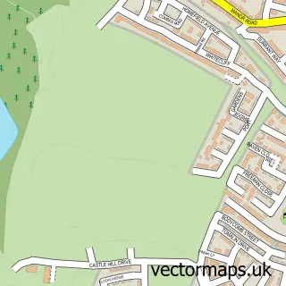
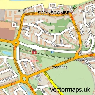
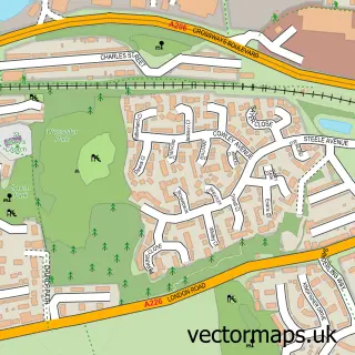
More street maps in Kent
750 metre map area coverage
Boundary, postcode and point of interest information for the 750m x 750m rectangle centred on this sample map.
Boundaries containing map centre
Constituency: Dartford Co Const
County: Kent County
District: Dartford District (B)
Icb: NHS Kent and Medway ICB
Police Force: kent
Postcode District: DA9
Postcode Sector: DA9 9
Ward: Ebbsfleet Ward
Nearby boundaries intersecting sample
Parish: Stone CP, Swanscombe and Greenhithe CP
Postcode District: DA2
Postcode Sector: DA2 8
Ward: Greenhithe & Knockhall Ward, Stone Castle Ward
Postcode coverage
POI category counts
Advertising Agency: 1
Airport Shuttles: 1
Business Consulting: 1
Cleaning Services: 1
Convenience Store: 1
Disability Services And Support Organization: 1
Dog Walkers: 1
Hvac Services: 1
Surgical Appliances And Supplies: 1
Sample points of interest
- iDynamix Digital
- Justin Time Travel
- Encresser
- City Central Cleaning & Support Services
- Nisa Local
- Starwrick Housing
- Paws Up Dog Walking and Pet Care
- National Aircon
- Savoy Event Medical Services
Create a larger editable map of Ashmere
This sample shows only a 750 metre area. To create a larger map of Ashmere, use our map builder to choose your own coverage area, add titles and download editable SVG, PDF and PNG files.
Create a custom map of Ashmere