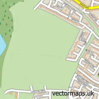
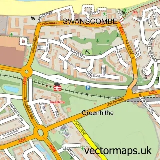
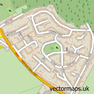
This Ebbsfleet Valley street map is a detailed vector street map covering a 750m x 750m area. Select a larger area to create and download your own vector street map of Ebbsfleet Valley.
The 750-metre map sample for Ebbsfleet Valley covers 205 mapped buildings and approximately 2.5 km of road detail, of which 2 named roads are named. The immediate area includes 1 GP surgery within 2 miles and 13 MOT stations within 2 miles. To create a larger or custom map of Ebbsfleet Valley, the map builder lets you define your own coverage area and download editable SVG, PDF and PNG files.
Create a larger editable map of Ebbsfleet Valley
Choose any area you need and generate a high-quality vector map instantly. Perfect for print, planning, design, business and personal use.

This Ebbsfleet Valley street map in Kent is available as downloadable SVG, PDF and PNG map files, or as a printed map for planning, business, display, education, local information and design work. You can also create a larger custom map area using the map selector.
What this Ebbsfleet Valley map sample shows
Ebbsfleet Valley lies within Bean Cp parish, part of Bean & Village Park ward in the Dartford District (B) local authority area. The postcode geography for this area includes the DA postcode area, the DA2 postcode district and the DA2 8 postcode sector. Residents fall under the Nhs Kent And Medway Integrated Care Board for NHS services.
Local features near Ebbsfleet Valley
Within 2 milesAmenities and services in and around Ebbsfleet Valley.
Administrative and postcode information for Ebbsfleet Valley
The local authority covering Ebbsfleet Valley is Dartford District (B), within the county of Kent. The settlement lies within Bean & Village Park ward and Bean Cp civil parish. The DA2 postcode district and DA2 8 postcode sector serve the immediate area. NHS provision in the area is delivered through Dartford And Gravesham Nhs Trust.
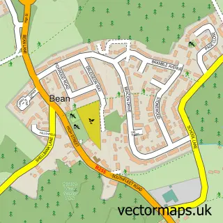
Nearby street map samples around Ebbsfleet Valley

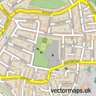
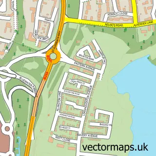
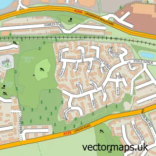
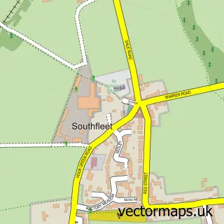
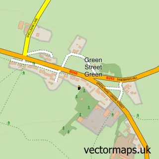
More street maps in Kent
750 metre map area coverage
Boundary, postcode and point of interest information for the 750m x 750m rectangle centred on this sample map.
Boundaries containing map centre
Constituency: Dartford Co Const
County: Kent County
District: Dartford District (B)
Icb: NHS Kent and Medway ICB
Police Force: kent
Postcode District: DA2
Postcode Sector: DA2 8
Ward: Ebbsfleet Ward
Nearby boundaries intersecting sample
Parish: Bean CP
Postcode District: DA10, DA9
Postcode Sector: DA10 0, DA9 9
Ward: Bean & Village Park Ward
Postcode coverage
POI category counts
Ev Charging Station: 1
Home Developer: 1
Luggage Store: 1
Massage: 1
Real Estate: 1
Structure And Geography: 1
Tutoring Center: 1
Sample points of interest
- Stonehaven Park - Communal Car Park
- Redrow - Stonehaven Park
- Hopia Fashion
- Licensedtochill.uk
- Redrow - Stonehaven Park
- Erith Group
- Tutor Doctor Gravesend
Create a larger editable map of Ebbsfleet Valley
This sample shows only a 750 metre area. To create a larger map of Ebbsfleet Valley, use our map builder to choose your own coverage area, add titles and download editable SVG, PDF and PNG files.
Create a custom map of Ebbsfleet Valley