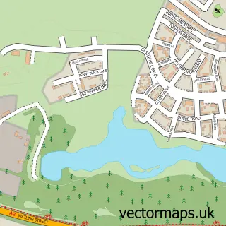
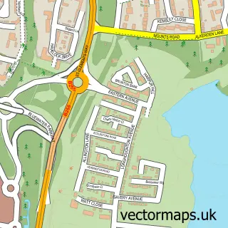
This Green Street Green street map is a detailed vector street map covering a 750m x 750m area. Select a larger area to create and download your own vector street map of Green Street Green.
The 750-metre map sample for Green Street Green covers 79 mapped buildings and approximately 7.6 km of road detail, of which 3 named roads are named. The immediate area includes 2 GP surgeries within 2 miles and 3 MOT stations within 2 miles. The wider area around Green Street Green features 1 tourism point of interest, 3 food and drink venues and 1 hotel. To create a larger or custom map of Green Street Green, the map builder lets you define your own coverage area and download editable SVG, PDF and PNG files.
Create a larger editable map of Green Street Green
Choose any area you need and generate a high-quality vector map instantly. Perfect for print, planning, design, business and personal use.

This Green Street Green street map in Kent is available as downloadable SVG, PDF and PNG map files, or as a printed map for planning, business, display, education, local information and design work. You can also create a larger custom map area using the map selector.
What this Green Street Green map sample shows
Green Street Green lies within Bean Cp parish, part of Bean & Village Park ward in the Dartford District (B) local authority area. The postcode geography for this area includes the DA postcode area, the DA2 postcode district and the DA2 8 postcode sector. Residents fall under the Nhs Kent And Medway Integrated Care Board for NHS services.
Local features near Green Street Green
Within 2 milesAmenities and services in and around Green Street Green.
Administrative and postcode information for Green Street Green
The local authority covering Green Street Green is Dartford District (B), within the county of Kent. The settlement lies within Bean & Village Park ward and Bean Cp civil parish. The DA2 postcode district and DA2 8 postcode sector serve the immediate area. NHS provision in the area is delivered through Dartford And Gravesham Nhs Trust.
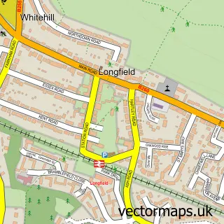
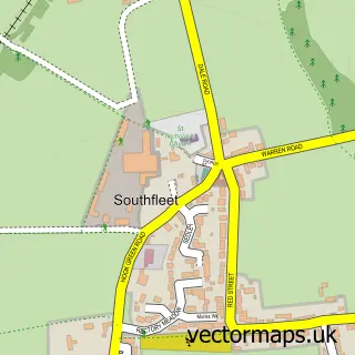
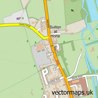
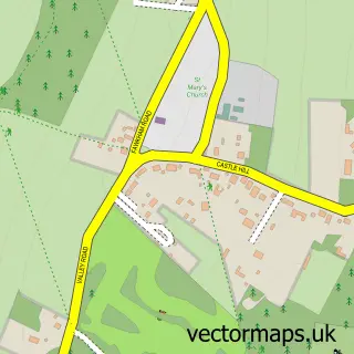
Nearby street map samples around Green Street Green

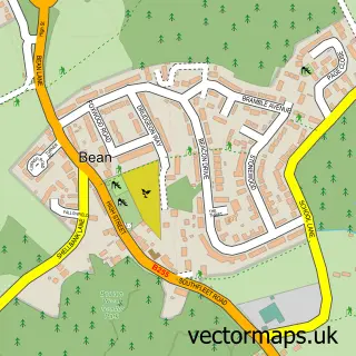
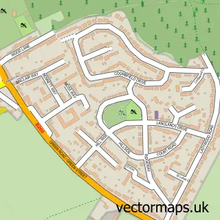
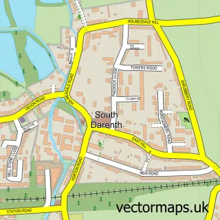
More street maps in Kent
750 metre map area coverage
Boundary, postcode and point of interest information for the 750m x 750m rectangle centred on this sample map.
Boundaries containing map centre
Constituency: Dartford Co Const
County: Kent County
District: Dartford District (B)
Icb: NHS Kent and Medway ICB
Parish: Darenth CP
Police Force: kent
Postcode District: DA2
Postcode Sector: DA2 8
Ward: Longfield, New Barn & Southfleet Ward
Nearby boundaries intersecting sample
Parish: Bean CP
Ward: Bean & Village Park Ward
Postcode coverage
POI category counts
Retail: 2
Antique Store: 1
Auction House: 1
Business: 1
Cafe: 1
Cleaning Services: 1
Coffee Shop: 1
Diner: 1
Doner Kebab: 1
Hotel: 1
Sample points of interest
- Baboushka Antiques
- Watermans Auction Rooms
- Hawkspare Ltd
- Cafe Eats
- Good-az-gold
- Costa Coffee
- Richie's Diner
- The Royal Express
- Green View Hotel
- Green Spice
- Hawks Hire
- Green Street Green
Create a larger editable map of Green Street Green
This sample shows only a 750 metre area. To create a larger map of Green Street Green, use our map builder to choose your own coverage area, add titles and download editable SVG, PDF and PNG files.
Create a custom map of Green Street Green