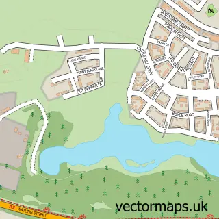
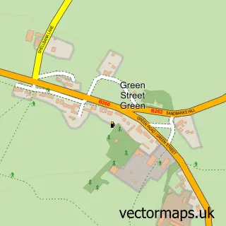
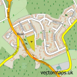
This South Darenth street map is a detailed vector street map covering a 750m x 750m area. Select a larger area to create and download your own vector street map of South Darenth.
The 750-metre map sample for South Darenth covers 273 mapped buildings and approximately 16.7 km of road detail, of which 20 named roads are named. The immediate area includes 4 pubs and 2 MOT stations within 2 miles. The wider area around South Darenth features 5 food and drink venues. To create a larger or custom map of South Darenth, the map builder lets you define your own coverage area and download editable SVG, PDF and PNG files.
Create a larger editable map of South Darenth
Choose any area you need and generate a high-quality vector map instantly. Perfect for print, planning, design, business and personal use.

This South Darenth street map in Kent is available as downloadable SVG, PDF and PNG map files, or as a printed map for planning, business, display, education, local information and design work. You can also create a larger custom map area using the map selector.
What this South Darenth map sample shows
South Darenth lies within Horton Kirby And South Darenth Cp parish, part of Farningham, Horton Kirby And South Darenth ward in the Sevenoaks District local authority area. The postcode geography for this area includes the DA postcode area, the DA4 postcode district and the DA4 9 postcode sector. Residents fall under the Nhs Kent And Medway Integrated Care Board for NHS services.
Local features near South Darenth
Within 2 milesAmenities and services in and around South Darenth.
Administrative and postcode information for South Darenth
The local authority covering South Darenth is Sevenoaks District, within the county of Kent. The settlement lies within Farningham, Horton Kirby And South Darenth ward and Horton Kirby And South Darenth Cp civil parish. The DA4 postcode district and DA4 9 postcode sector serve the immediate area. NHS provision in the area is delivered through Dartford And Gravesham Nhs Trust.
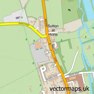
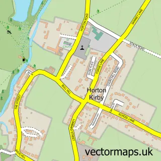
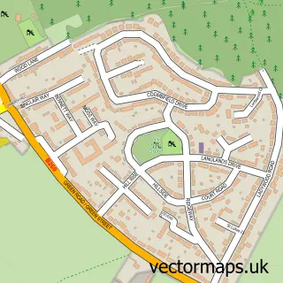
Nearby street map samples around South Darenth

More street maps in Kent
750 metre map area coverage
Boundary, postcode and point of interest information for the 750m x 750m rectangle centred on this sample map.
Boundaries containing map centre
Constituency: Sevenoaks Co Const
County: Kent County
District: Sevenoaks District
Icb: NHS Kent and Medway ICB
Parish: Horton Kirby and South Darenth CP
Police Force: kent
Postcode District: DA4
Postcode Sector: DA4 9
Ward: Farningham, Horton Kirby and South Darenth Ward
Nearby boundaries intersecting sample
District: Dartford District (B)
Parish: Sutton-at-Hone and Hawley CP
Ward: Wilmington, Sutton-at-Hone & Hawley Ward
Postcode coverage
POI category counts
Pub: 4
Building Supply Store: 3
Advertising Agency: 2
Business To Business: 2
Doctor: 2
Martial Arts Club: 2
Plumbing: 2
Professional Services: 2
Airport Shuttles: 1
Architectural Designer: 1
Sample points of interest
- PRINT7 City
- Uniek Digital
- Justintime
- James Carney Architects
- Mill Court Sheltered Housing
- The Cooperative Food (BF) South Darenth, Horton Kirby South Darenth
- Mark One Plant Repairs
- Bow Hair & Beauty
- H & V Building Services
- L Vella & Sons
- SBE Kent
- Mel May Design
Create a larger editable map of South Darenth
This sample shows only a 750 metre area. To create a larger map of South Darenth, use our map builder to choose your own coverage area, add titles and download editable SVG, PDF and PNG files.
Create a custom map of South Darenth