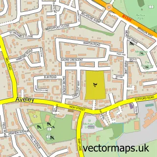
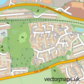
This South Ockendon street map is a detailed vector street map covering a 750m x 750m area. Select a larger area to create and download your own vector street map of South Ockendon.
The 750-metre map sample for South Ockendon covers 318 mapped buildings and approximately 16.8 km of road detail, of which 35 named roads are named. The immediate area includes 1 school, 3 GP surgeries, with 6 within 2 miles, 3 pubs and 3 MOT stations within 2 miles. The wider area around South Ockendon features 2 tourism points of interest and 7 food and drink venues. To create a larger or custom map of South Ockendon, the map builder lets you define your own coverage area and download editable SVG, PDF and PNG files.
Create a larger editable map of South Ockendon
Choose any area you need and generate a high-quality vector map instantly. Perfect for print, planning, design, business and personal use.

This South Ockendon street map in Essex is available as downloadable SVG, PDF and PNG map files, or as a printed map for planning, business, display, education, local information and design work. You can also create a larger custom map area using the map selector.
What this South Ockendon map sample shows
South Ockendon lies within Thurrock (B) parish, part of Belhus ward in the Thurrock (B) local authority area. The postcode geography for this area includes the RM postcode area, the RM15 postcode district and the RM15 6 postcode sector. Residents fall under the Nhs Mid And South Essex Integrated Care Board for NHS services.
Local features near South Ockendon
Within 2 milesAmenities and services in and around South Ockendon.
Administrative and postcode information for South Ockendon
The local authority covering South Ockendon is Thurrock (B), within the county of Essex. The settlement lies within Belhus ward and Thurrock (B) civil parish. The RM15 postcode district and RM15 6 postcode sector serve the immediate area. NHS provision in the area is delivered through Mid And South Essex Nhs Foundation Trust.
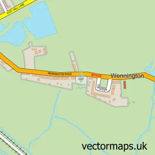
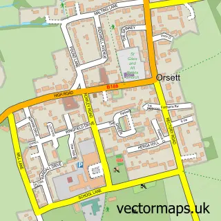
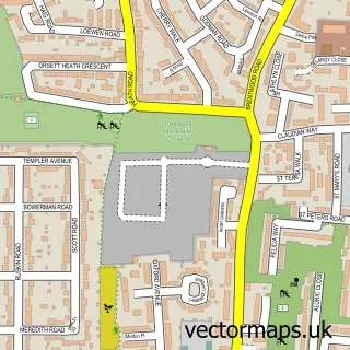
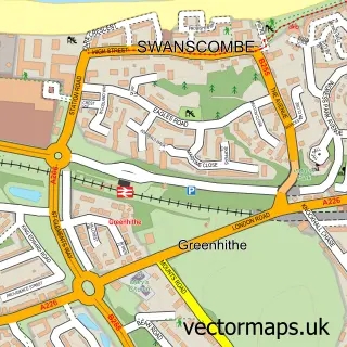
Nearby street map samples around South Ockendon

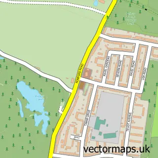
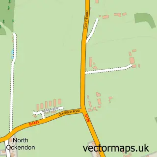
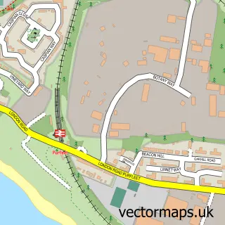
More street maps in Essex
750 metre map area coverage
Boundary, postcode and point of interest information for the 750m x 750m rectangle centred on this sample map.
Boundaries containing map centre
Constituency: Thurrock Boro Const
District: Thurrock (B)
Icb: NHS Essex ICB
Police Force: essex
Postcode District: RM15
Postcode Sector: RM15 5
Ward: Ockendon Ward
Nearby boundaries intersecting sample
Ward: Belhus Ward
Postcode coverage
POI category counts
Doctor: 7
Convenience Store: 5
Real Estate Agent: 5
Beauty Salon: 4
Hair Salon: 4
Indian Restaurant: 4
Financial Service: 3
Pub: 3
Retail: 3
Active Life: 2
Sample points of interest
- Guyax
- Ockendon Leisure Centre
- Jack Evans Court Sheltered Housing
- PayPoint
- Mobile Mechanic South Ockendon
- RCM Vehicle Repairs
- Greggs
- Istanbul Barbers - Ockendon south
- Vio’s Beauty Lounge
- Elite Tanning And Beauty
- Gaffers Hair Design
- Hair'n' more salon and beauty products
Create a larger editable map of South Ockendon
This sample shows only a 750 metre area. To create a larger map of South Ockendon, use our map builder to choose your own coverage area, add titles and download editable SVG, PDF and PNG files.
Create a custom map of South Ockendon