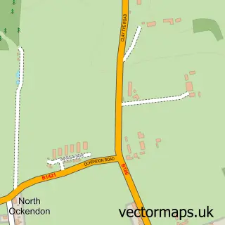
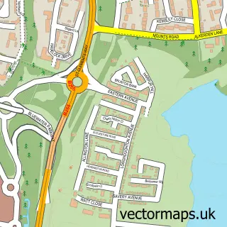
This Wennington street map is a detailed vector street map covering a 750m x 750m area. Select a larger area to create and download your own vector street map of Wennington.
The 750-metre map sample for Wennington covers 54 mapped buildings and approximately 6.9 km of road detail, of which 4 named roads are named. The immediate area includes 4 GP surgeries within 2 miles and 14 MOT stations within 2 miles. To create a larger or custom map of Wennington, the map builder lets you define your own coverage area and download editable SVG, PDF and PNG files.
Create a larger editable map of Wennington
Choose any area you need and generate a high-quality vector map instantly. Perfect for print, planning, design, business and personal use.

This Wennington street map in Greater London is available as downloadable SVG, PDF and PNG map files, or as a printed map for planning, business, display, education, local information and design work. You can also create a larger custom map area using the map selector.
What this Wennington map sample shows
Wennington lies within Greater London Authority parish, part of Rainham And Wennington ward in the Havering London Boro local authority area. The postcode geography for this area includes the RM postcode area, the RM13 postcode district and the RM13 9 postcode sector. Residents fall under the Nhs North East London Integrated Care Board for NHS services.
Local features near Wennington
Within 2 milesAmenities and services in and around Wennington.
Administrative and postcode information for Wennington
The local authority covering Wennington is Havering London Boro, within the county of Greater London. The settlement lies within Rainham And Wennington ward and Greater London Authority civil parish. The RM13 postcode district and RM13 9 postcode sector serve the immediate area. NHS provision in the area is delivered through Barking, Havering And Redbridge University Hospitals Nhs Trust.
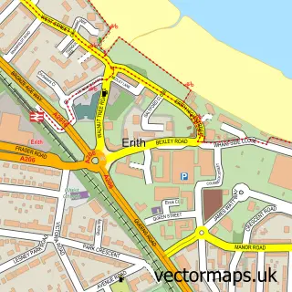
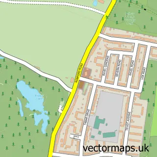
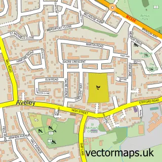
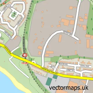
Nearby street map samples around Wennington

More street maps in Greater London
750 metre map area coverage
Boundary, postcode and point of interest information for the 750m x 750m rectangle centred on this sample map.
Boundaries containing map centre
Constituency: Dagenham and Rainham Boro Const
County: Greater London Authority
District: Havering London Boro
Icb: NHS North East London ICB
Police Force: metropolitan
Postcode District: RM13
Postcode Sector: RM13 9
Ward: Rainham & Wennington Ward
Nearby boundaries intersecting sample
No additional intersecting boundaries found.
Postcode coverage
POI category counts
Anglican Church: 1
Automotive Repair: 1
Beauty And Spa: 1
Fire Department: 1
Furniture Store: 1
Home Improvement Store: 1
Professional Services: 1
Public And Government Association: 1
Race Track: 1
Seafood Wholesaler: 1
Sample points of interest
- Wennington: St Mary & St Peter
- Essex Recons
- Eye Me Up Aesthetics
- F40 Wennington Fire Station
- R & M Engraving
- JB Home Improvements
- Rob Brown photography
- Wennington, London
- Kensington Hippodrome
- Evertrade
- Foot Locker
- Fit to Fly PCR and Antigen Test Basildon
Create a larger editable map of Wennington
This sample shows only a 750 metre area. To create a larger map of Wennington, use our map builder to choose your own coverage area, add titles and download editable SVG, PDF and PNG files.
Create a custom map of Wennington