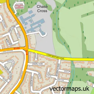
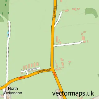
This Romford street map is a detailed vector street map covering a 750m x 750m area. Select a larger area to create and download your own vector street map of Romford.
The 750-metre map sample for Romford covers 171 mapped buildings and approximately 19.4 km of road detail, of which 36 named roads are named. The immediate area includes 1 railway station, 1 GP surgery, with 18 within 2 miles, 13 pubs and 41 MOT stations within 2 miles. The wider area around Romford features 4 tourism points of interest, 62 food and drink venues and 8 hotels. To create a larger or custom map of Romford, the map builder lets you define your own coverage area and download editable SVG, PDF and PNG files.
Create a larger editable map of Romford
Choose any area you need and generate a high-quality vector map instantly. Perfect for print, planning, design, business and personal use.

This Romford street map in Greater London is available as downloadable SVG, PDF and PNG map files, or as a printed map for planning, business, display, education, local information and design work. You can also create a larger custom map area using the map selector.
What this Romford map sample shows
Romford lies within Greater London Authority parish, part of Romford Town ward in the Havering London Boro local authority area. The postcode geography for this area includes the RM postcode area, the RM1 postcode district and the RM1 3 postcode sector. Residents fall under the Nhs North East London Integrated Care Board for NHS services.
Local features near Romford
Within 2 milesAmenities and services in and around Romford.
Administrative and postcode information for Romford
Romford lies within Greater London Authority parish, part of Romford Town ward in the Havering London Boro local authority area. The postcode geography for this area includes the RM postcode area, the RM1 postcode district and the RM1 3 postcode sector. Residents fall under the Nhs North East London Integrated Care Board for NHS services.
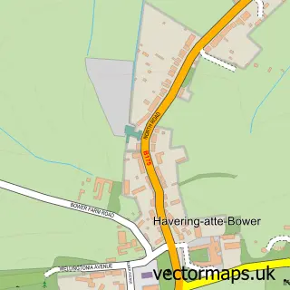
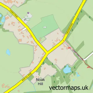
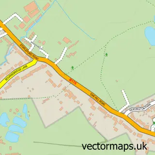
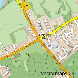
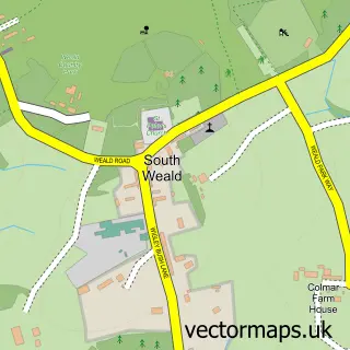
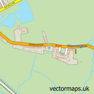
Nearby street map samples around Romford

More street maps in Greater London
750 metre map area coverage
Boundary, postcode and point of interest information for the 750m x 750m rectangle centred on this sample map.
Boundaries containing map centre
Constituency: Romford Boro Const
County: Greater London Authority
District: Havering London Boro
Icb: NHS North East London ICB
Police Force: metropolitan
Postcode District: RM1
Postcode Sector: RM1 1
Ward: St. Edward's Ward
Nearby boundaries intersecting sample
Postcode District: RM7
Postcode Sector: RM1 2, RM1 3, RM7 0, RM7 7, RM7 9
Ward: Rush Green & Crowlands Ward, St. Alban's Ward
Postcode coverage
POI category counts
Clothing Store: 37
Professional Services: 36
Beauty Salon: 27
Hair Salon: 27
Employment Agencies: 23
Cafe: 22
Jewelry Store: 20
Real Estate Agent: 20
Fast Food Restaurant: 17
Mobile Phone Store: 17
Sample points of interest
- Ahsan & Co Chartered Certified Accountants
- Brightx Accounting
- Dns Accountants - Self Assessment Tax Return in Romford | Vat Return| Property Tax| Payroll |Bookkeeping services in Romford
- Hawk Accountants
- Holgate Court Accountants
- IC TaxCounter Limited
- Kumi Link Services
- L&E Finance Services
- Milton Accoutant
- UK ES Consulting
- Acupuncture and Herbs
- YMCA Training Services
Create a larger editable map of Romford
This sample shows only a 750 metre area. To create a larger map of Romford, use our map builder to choose your own coverage area, add titles and download editable SVG, PDF and PNG files.
Create a custom map of Romford