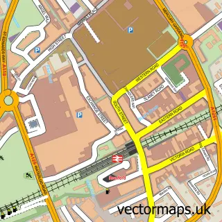
This Ilford street map is a detailed vector street map covering a 750m x 750m area. Select a larger area to create and download your own vector street map of Ilford.
The 750-metre map sample for Ilford covers 244 mapped buildings and approximately 27.0 km of road detail, of which 49 named roads are named. The immediate area includes 1 railway station, 2 GP surgeries, with 48 within 2 miles, 3 pubs and 37 MOT stations within 2 miles. The wider area around Ilford features 6 tourism points of interest, 33 food and drink venues and 20 hotels. To create a larger or custom map of Ilford, the map builder lets you define your own coverage area and download editable SVG, PDF and PNG files.
Create a larger editable map of Ilford
Choose any area you need and generate a high-quality vector map instantly. Perfect for print, planning, design, business and personal use.

This Ilford street map in Greater London is available as downloadable SVG, PDF and PNG map files, or as a printed map for planning, business, display, education, local information and design work. You can also create a larger custom map area using the map selector.
What this Ilford map sample shows
Ilford lies within Greater London Authority parish, part of Loxford ward in the Redbridge London Boro local authority area. The postcode geography for this area includes the IG postcode area, the IG1 postcode district and the IG1 2 postcode sector. Residents fall under the Nhs North East London Integrated Care Board for NHS services.
Local features near Ilford
Within 2 milesAmenities and services in and around Ilford.
Administrative and postcode information for Ilford
The local authority covering Ilford is Redbridge London Boro, within the county of Greater London. The settlement lies within Loxford ward and Greater London Authority civil parish. The IG1 postcode district and IG1 2 postcode sector serve the immediate area. NHS provision in the area is delivered through Barking, Havering And Redbridge University Hospitals Nhs Trust.
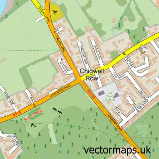
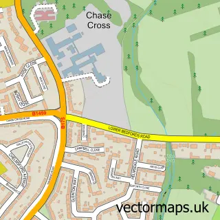
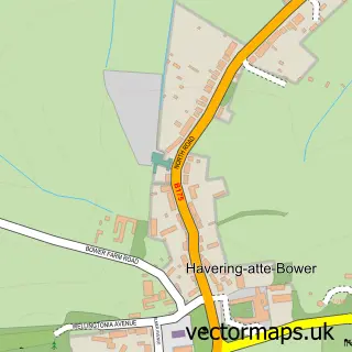
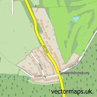
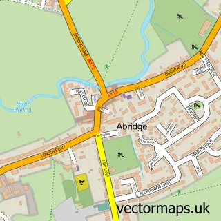
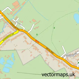
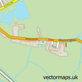
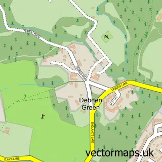
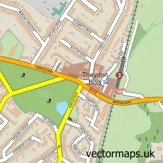
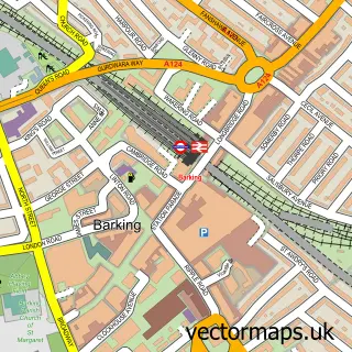
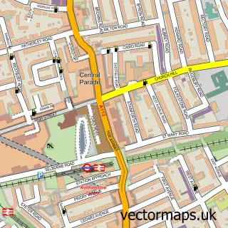
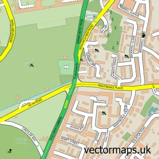
Nearby street map samples around Ilford

More street maps in Greater London
750 metre map area coverage
Boundary, postcode and point of interest information for the 750m x 750m rectangle centred on this sample map.
Boundaries containing map centre
Constituency: Ilford South Boro Const
County: Greater London Authority
District: Redbridge London Boro
Icb: NHS North East London ICB
Police Force: metropolitan
Postcode District: IG1
Postcode Sector: IG1 1
Ward: Ilford Town Ward
Nearby boundaries intersecting sample
Constituency: East Ham Boro Const, Ilford North Boro Const
District: Newham London Boro
Postcode District: E12
Postcode Sector: E12 5, IG1 2, IG1 3, IG1 4
Ward: Clementswood Ward, Little Ilford Ward, Loxford Ward, Valentines Ward
Postcode coverage
POI category counts
Clothing Store: 35
Professional Services: 34
Education: 28
Employment Agencies: 26
Accountant: 23
Hotel: 20
Mobile Phone Store: 19
Educational Services: 18
Jewelry Store: 16
Beauty Salon: 15
Sample points of interest
- A1 Tax & Account Solutions Lt d
- Apex Associates LLP
- Ashgrove Accountants
- Book Smart Services
- D & B Accountancy
- Future Accountax
- GM Accountancy UK
- GM Professional Accountants
- Grand Bisco Limited
- Hammond Walker
- Karbhari & Co.
- Matrix Compliance
Create a larger editable map of Ilford
This sample shows only a 750 metre area. To create a larger map of Ilford, use our map builder to choose your own coverage area, add titles and download editable SVG, PDF and PNG files.
Create a custom map of Ilford