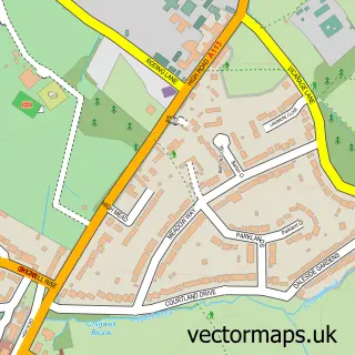
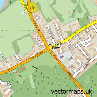
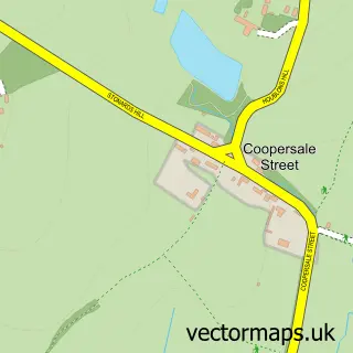
This Abridge street map is a detailed vector street map covering a 750m x 750m area. Select a larger area to create and download your own vector street map of Abridge.
The 750-metre map sample for Abridge covers 310 mapped buildings and approximately 13.0 km of road detail, of which 22 named roads are named. The immediate area includes 1 school, 1 GP surgery, with 2 within 2 miles, 2 pubs and 1 MOT station, with 8 within 2 miles. The wider area around Abridge features 1 tourism point of interest and 4 food and drink venues. To create a larger or custom map of Abridge, the map builder lets you define your own coverage area and download editable SVG, PDF and PNG files.
Create a larger editable map of Abridge
Choose any area you need and generate a high-quality vector map instantly. Perfect for print, planning, design, business and personal use.

This Abridge street map in Essex is available as downloadable SVG, PDF and PNG map files, or as a printed map for planning, business, display, education, local information and design work. You can also create a larger custom map area using the map selector.
What this Abridge map sample shows
Abridge lies within Lambourne Cp parish, part of Lambourne ward in the Epping Forest District local authority area. The postcode geography for this area includes the RM postcode area, the RM4 postcode district and the RM4 1 postcode sector. Residents fall under the Nhs Hertfordshire And West Essex Integrated Care Board for NHS services.
Local features near Abridge
Within 2 milesAmenities and services in and around Abridge.
Administrative and postcode information for Abridge
Abridge lies within Lambourne Cp parish, part of Lambourne ward in the Epping Forest District local authority area. The postcode geography for this area includes the RM postcode area, the RM4 postcode district and the RM4 1 postcode sector. Residents fall under the Nhs Hertfordshire And West Essex Integrated Care Board for NHS services.
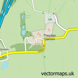
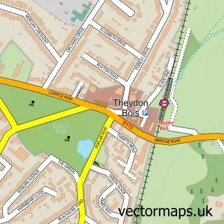
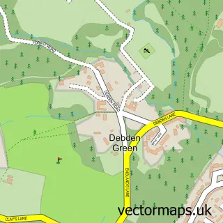
Nearby street map samples around Abridge

More street maps in Essex
750 metre map area coverage
Boundary, postcode and point of interest information for the 750m x 750m rectangle centred on this sample map.
Boundaries containing map centre
Constituency: Brentwood and Ongar Co Const
County: Essex County
District: Epping Forest District
Icb: NHS Central East ICB
Parish: Lambourne CP
Police Force: essex
Postcode District: RM4
Postcode Sector: RM4 1
Ward: Chigwell with Lambourne Ward
Nearby boundaries intersecting sample
Constituency: Epping Forest Co Const
Parish: Theydon Bois CP
Ward: Theydon Bois with Passingford Ward
Postcode coverage
POI category counts
Building Supply Store: 3
Beauty Salon: 2
Professional Services: 2
Pub: 2
Shipping Center: 2
Tobacco Shop: 2
Accountant: 1
Atms: 1
Auto Detailing: 1
Bar: 1
Sample points of interest
- JRS Accounts
- Shell Forecourt Abridge (CZ Indp) (Protected)
- Sam's Suds Detailing
- Maltsters Arms (The)
- Gemma's Retreat
- Number 1 Beauty Box
- Ottleys Guest House
- Log Cabin Cafe
- Churchill Heating
- Cratus Developments
- Dce C
- Bridge Deli
Create a larger editable map of Abridge
This sample shows only a 750 metre area. To create a larger map of Abridge, use our map builder to choose your own coverage area, add titles and download editable SVG, PDF and PNG files.
Create a custom map of Abridge