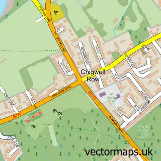
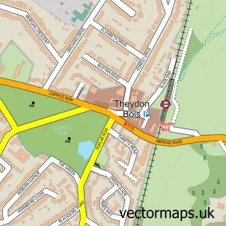
This Chigwell street map is a detailed vector street map covering a 750m x 750m area. Select a larger area to create and download your own vector street map of Chigwell.
The 750-metre map sample for Chigwell covers 238 mapped buildings and approximately 11.7 km of road detail, of which 17 named roads are named. The immediate area includes 2 schools, 11 GP surgeries within 2 miles, 4 pubs and 12 MOT stations within 2 miles. The wider area around Chigwell features 8 food and drink venues. To create a larger or custom map of Chigwell, the map builder lets you define your own coverage area and download editable SVG, PDF and PNG files.
Create a larger editable map of Chigwell
Choose any area you need and generate a high-quality vector map instantly. Perfect for print, planning, design, business and personal use.

This Chigwell street map in Essex is available as downloadable SVG, PDF and PNG map files, or as a printed map for planning, business, display, education, local information and design work. You can also create a larger custom map area using the map selector.
What this Chigwell map sample shows
Chigwell lies within Chigwell Cp parish, part of Chigwell Village ward in the Epping Forest District local authority area. The postcode geography for this area includes the IG postcode area, the IG7 postcode district and the IG7 6 postcode sector. Residents fall under the Nhs Hertfordshire And West Essex Integrated Care Board for NHS services.
Local features near Chigwell
Within 2 milesAmenities and services in and around Chigwell.
Administrative and postcode information for Chigwell
Chigwell lies within Chigwell Cp parish, part of Chigwell Village ward in the Epping Forest District local authority area. The postcode geography for this area includes the IG postcode area, the IG7 postcode district and the IG7 6 postcode sector. Residents fall under the Nhs Hertfordshire And West Essex Integrated Care Board for NHS services.
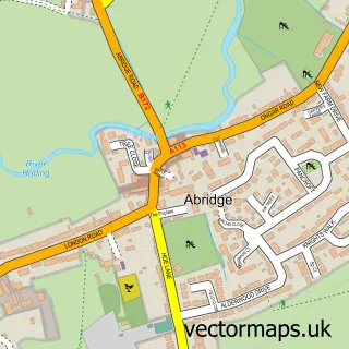
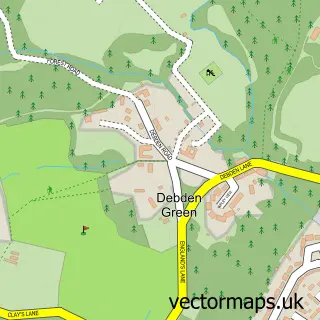
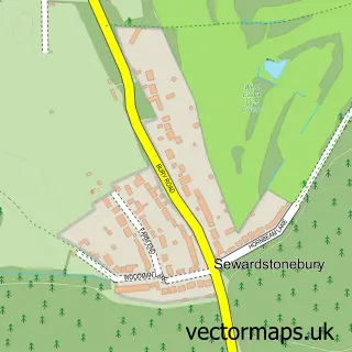
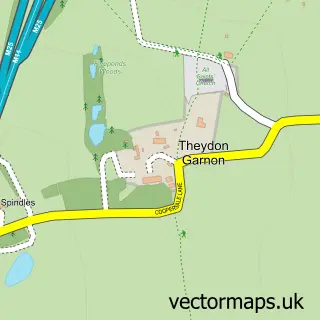
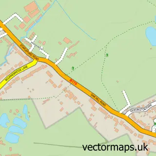
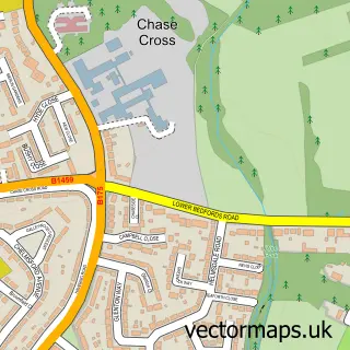
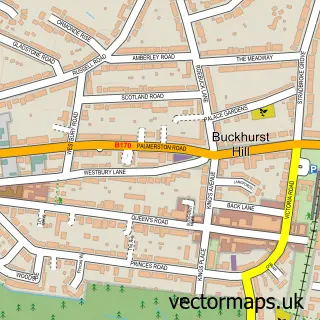
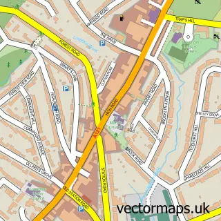
Nearby street map samples around Chigwell

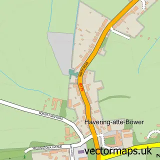
More street maps in Essex
750 metre map area coverage
Boundary, postcode and point of interest information for the 750m x 750m rectangle centred on this sample map.
Boundaries containing map centre
Constituency: Epping Forest Co Const
County: Essex County
District: Epping Forest District
Icb: NHS Central East ICB
Parish: Chigwell CP
Police Force: essex
Postcode District: IG7
Postcode Sector: IG7 6
Ward: Chigwell with Lambourne Ward
Nearby boundaries intersecting sample
No additional intersecting boundaries found.
Postcode coverage
POI category counts
Real Estate Agent: 5
Pub: 4
Restaurant: 3
Active Life: 2
Event Planning: 2
Indian Restaurant: 2
Pharmacy: 2
Scout Hall: 2
Sports Club And League: 2
Travel Agents: 2
Sample points of interest
- Barracudas Activity Day Camps
- Earth Tots
- St Mary's Church Chigwell
- Stagecoach Theatre Arts
- Eco House Comfort
- The Joy of Cakes
- Pinx
- Creative Curtains & Blinds
- Shaws Cafe Chigwell Hall
- St Mary's Church Chigwell Essex
- Keystar Training Ltd
- East Land & Construction team Uk
Create a larger editable map of Chigwell
This sample shows only a 750 metre area. To create a larger map of Chigwell, use our map builder to choose your own coverage area, add titles and download editable SVG, PDF and PNG files.
Create a custom map of Chigwell