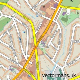
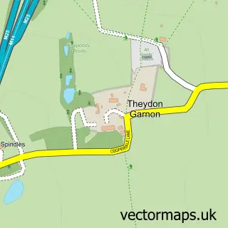
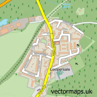
This Debden Green street map is a detailed vector street map covering a 750m x 750m area. Select a larger area to create and download your own vector street map of Debden Green.
The 750-metre map sample for Debden Green covers 83 mapped buildings and approximately 8.2 km of road detail, of which 9 named roads are named. The immediate area includes 3 GP surgeries within 2 miles and 9 MOT stations within 2 miles. The wider area around Debden Green features 3 tourism points of interest. To create a larger or custom map of Debden Green, the map builder lets you define your own coverage area and download editable SVG, PDF and PNG files.
Create a larger editable map of Debden Green
Choose any area you need and generate a high-quality vector map instantly. Perfect for print, planning, design, business and personal use.

This Debden Green street map in Essex is available as downloadable SVG, PDF and PNG map files, or as a printed map for planning, business, display, education, local information and design work. You can also create a larger custom map area using the map selector.
What this Debden Green map sample shows
Debden Green lies within Theydon Bois Cp parish, part of Theydon Bois ward in the Epping Forest District local authority area. The postcode geography for this area includes the CM postcode area, the CM16 postcode district and the CM16 7 postcode sector. Residents fall under the Nhs Hertfordshire And West Essex Integrated Care Board for NHS services.
Local features near Debden Green
Within 2 milesAmenities and services in and around Debden Green.
Administrative and postcode information for Debden Green
Debden Green lies within Theydon Bois Cp parish, part of Theydon Bois ward in the Epping Forest District local authority area. The postcode geography for this area includes the CM postcode area, the CM16 postcode district and the CM16 7 postcode sector. Residents fall under the Nhs Hertfordshire And West Essex Integrated Care Board for NHS services.
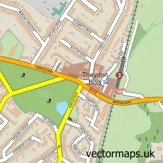
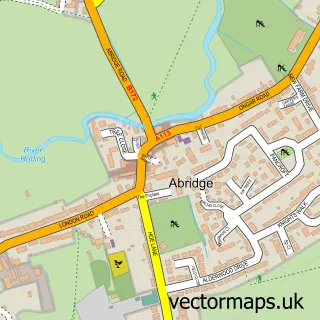
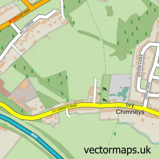
Nearby street map samples around Debden Green

More street maps in Essex
750 metre map area coverage
Boundary, postcode and point of interest information for the 750m x 750m rectangle centred on this sample map.
Boundaries containing map centre
Constituency: Epping Forest Co Const
County: Essex County
District: Epping Forest District
Icb: NHS Central East ICB
Parish: Loughton CP
Police Force: essex
Postcode District: IG10
Postcode Sector: IG10 2
Ward: Loughton St. John's Ward
Nearby boundaries intersecting sample
Ward: Loughton Fairmead Ward
Postcode coverage
POI category counts
Campground: 2
Business Management Services: 1
Landmark And Historical Building: 1
Landscape Architect: 1
Nature Reserve: 1
Storage Facility: 1
Sample points of interest
- Clear Architects Ltd.
- Debden House Campsite
- Debden House Centre
- Debden Hall
- Forest Drives Ltd.
- Home Mead
- Swift Man & Van
Create a larger editable map of Debden Green
This sample shows only a 750 metre area. To create a larger map of Debden Green, use our map builder to choose your own coverage area, add titles and download editable SVG, PDF and PNG files.
Create a custom map of Debden Green