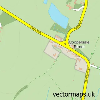
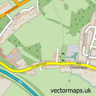
This Coopersale street map is a detailed vector street map covering a 750m x 750m area. Select a larger area to create and download your own vector street map of Coopersale.
The 750-metre map sample for Coopersale covers 179 mapped buildings and approximately 8.1 km of road detail, of which 13 named roads are named. The immediate area includes 1 school, 2 GP surgeries within 2 miles, 1 pub and 6 MOT stations within 2 miles. The wider area around Coopersale features 1 food and drink venue. To create a larger or custom map of Coopersale, the map builder lets you define your own coverage area and download editable SVG, PDF and PNG files.
Create a larger editable map of Coopersale
Choose any area you need and generate a high-quality vector map instantly. Perfect for print, planning, design, business and personal use.

This Coopersale street map in Essex is available as downloadable SVG, PDF and PNG map files, or as a printed map for planning, business, display, education, local information and design work. You can also create a larger custom map area using the map selector.
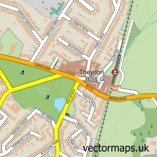
What this Coopersale map sample shows
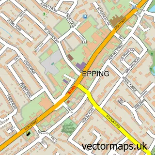
Coopersale lies within Epping Cp parish, part of Epping Lindsey And Thornwood Common ward in the Epping Forest District local authority area. The postcode geography for this area includes the CM postcode area, the CM16 postcode district and the CM16 4 postcode sector. Residents fall under the Nhs Hertfordshire And West Essex Integrated Care Board for NHS services.
Local features near Coopersale
Within 2 milesAmenities and services in and around Coopersale.
Administrative and postcode information for Coopersale
Coopersale lies within Epping Cp parish, part of Epping Lindsey And Thornwood Common ward in the Epping Forest District local authority area. The postcode geography for this area includes the CM postcode area, the CM16 postcode district and the CM16 4 postcode sector. Residents fall under the Nhs Hertfordshire And West Essex Integrated Care Board for NHS services.
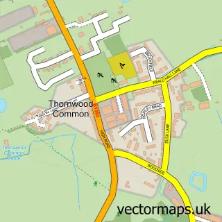
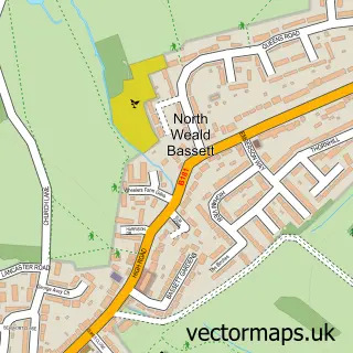
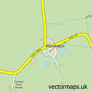
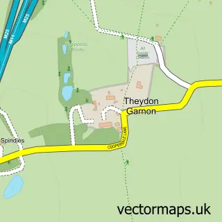
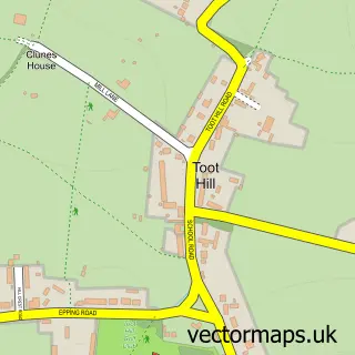
Nearby street map samples around Coopersale

More street maps in Essex
750 metre map area coverage
Boundary, postcode and point of interest information for the 750m x 750m rectangle centred on this sample map.
Boundaries containing map centre
Constituency: Epping Forest Co Const
County: Essex County
District: Epping Forest District
Icb: NHS Central East ICB
Parish: Epping CP
Police Force: essex
Postcode District: CM16
Postcode Sector: CM16 7
Ward: Epping East Ward
Nearby boundaries intersecting sample
Constituency: Brentwood and Ongar Co Const
Parish: North Weald Bassett CP, Theydon Garnon CP
Postcode Sector: CM16 6
Ward: North Weald Bassett Ward, Theydon Bois with Passingford Ward
Postcode coverage
POI category counts
Church Cathedral: 2
Contractor: 2
Elementary School: 2
Roofing: 2
Alternative Medicine: 1
Anglican Church: 1
Arts And Entertainment: 1
Beauty And Spa: 1
Boot Camp: 1
Charity Organization: 1
Sample points of interest
- National Stop Smoking Centre
- Coopersale: St Alban the Martyr
- Coopersale Social Institute Hall
- White Velvet Aesthetics
- Coopersale Bootcamp
- Second Chance
- Church of St Alban the Martyr
- St Albans Church
- Coopersale Village
- White Oak Carpentry & Building Services
- Martin Builders
- Q-deck
Create a larger editable map of Coopersale
This sample shows only a 750 metre area. To create a larger map of Coopersale, use our map builder to choose your own coverage area, add titles and download editable SVG, PDF and PNG files.
Create a custom map of Coopersale