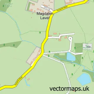
This North Weald street map is a detailed vector street map covering a 750m x 750m area. Select a larger area to create and download your own vector street map of North Weald.
The 750-metre map sample for North Weald covers 292 mapped buildings and approximately 11.7 km of road detail, of which 18 named roads are named. The immediate area includes 1 MOT station, with 5 within 2 miles. The wider area around North Weald features 2 food and drink venues. To create a larger or custom map of North Weald, the map builder lets you define your own coverage area and download editable SVG, PDF and PNG files.
Create a larger editable map of North Weald
Choose any area you need and generate a high-quality vector map instantly. Perfect for print, planning, design, business and personal use.

This North Weald street map in Essex is available as downloadable SVG, PDF and PNG map files, or as a printed map for planning, business, display, education, local information and design work. You can also create a larger custom map area using the map selector.
What this North Weald map sample shows
North Weald lies within North Weald Bassett Cp parish, part of North Weald Bassett ward in the Epping Forest District local authority area. The postcode geography for this area includes the CM postcode area, the CM16 postcode district and the CM16 6 postcode sector. Residents fall under the Nhs Hertfordshire And West Essex Integrated Care Board for NHS services.
Local features near North Weald
Within 2 milesAmenities and services in and around North Weald.
Administrative and postcode information for North Weald
North Weald lies within North Weald Bassett Cp parish, part of North Weald Bassett ward in the Epping Forest District local authority area. The postcode geography for this area includes the CM postcode area, the CM16 postcode district and the CM16 6 postcode sector. Residents fall under the Nhs Hertfordshire And West Essex Integrated Care Board for NHS services.
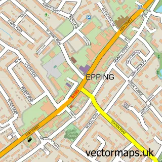
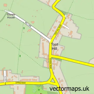
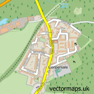
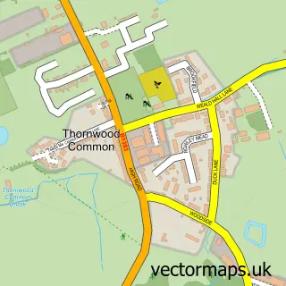
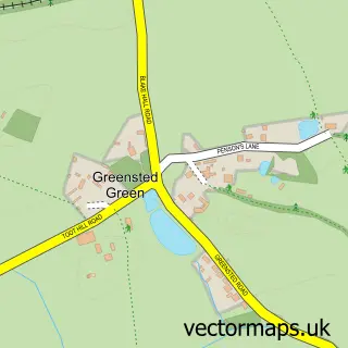
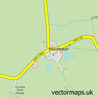
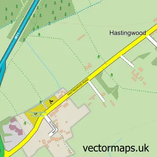
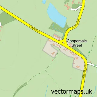
Nearby street map samples around North Weald

More street maps in Essex
750 metre map area coverage
Boundary, postcode and point of interest information for the 750m x 750m rectangle centred on this sample map.
Boundaries containing map centre
Constituency: Brentwood and Ongar Co Const
County: Essex County
District: Epping Forest District
Icb: NHS Central East ICB
Parish: North Weald Bassett CP
Police Force: essex
Postcode District: CM16
Postcode Sector: CM16 6
Ward: North Weald Bassett Ward
Nearby boundaries intersecting sample
No additional intersecting boundaries found.
Postcode coverage
POI category counts
Professional Services: 3
Electrician: 2
Gardener: 2
Hair Salon: 2
Real Estate Agent: 2
Roofing: 2
Veterinarian: 2
Accountant: 1
Advertising Agency: 1
Arts And Entertainment: 1
Sample points of interest
- Nickel Solutions Ltd.
- The Collective Design
- Orchid Arts
- C 4 Cakes
- JenningsBet
- Level Best Breweries
- Long Island Shutters
- North Weald Chemists
- Bloomz Car Audio Installation
- 3rd North Weald Scout Group
- North Weald Methodist Church
- Bread and Bites
Create a larger editable map of North Weald
This sample shows only a 750 metre area. To create a larger map of North Weald, use our map builder to choose your own coverage area, add titles and download editable SVG, PDF and PNG files.
Create a custom map of North Weald