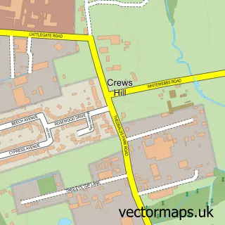
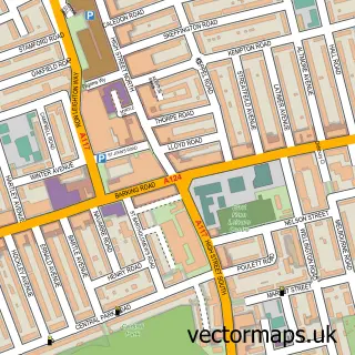
This Walthamstow street map is a detailed vector street map covering a 750m x 750m area. Select a larger area to create and download your own vector street map of Walthamstow.
The 750-metre map sample for Walthamstow covers 290 mapped buildings and approximately 22.7 km of road detail, of which 52 named roads are named. The immediate area includes 1 primary school and 1 secondary school, 2 railway stations, 34 GP surgeries within 2 miles and 6 pubs among other local services. The wider area around Walthamstow features 4 tourism points of interest, 45 food and drink venues and 2 hotels. To create a larger or custom map of Walthamstow, the map builder lets you define your own coverage area and download editable SVG, PDF and PNG files.
Create a larger editable map of Walthamstow
Choose any area you need and generate a high-quality vector map instantly. Perfect for print, planning, design, business and personal use.

This Walthamstow street map in Greater London is available as downloadable SVG, PDF and PNG map files, or as a printed map for planning, business, display, education, local information and design work. You can also create a larger custom map area using the map selector.
What this Walthamstow map sample shows
Walthamstow lies within Greater London Authority parish, part of William Morris ward in the Waltham Forest London Boro local authority area. The postcode geography for this area includes the E postcode area, the E17 postcode district and the E17 4 postcode sector. Residents fall under the Nhs North East London Integrated Care Board for NHS services.
Local features near Walthamstow
Within 2 milesAmenities and services in and around Walthamstow.
Administrative and postcode information for Walthamstow
Walthamstow lies within Greater London Authority parish, part of William Morris ward in the Waltham Forest London Boro local authority area. The postcode geography for this area includes the E postcode area, the E17 postcode district and the E17 4 postcode sector. Residents fall under the Nhs North East London Integrated Care Board for NHS services.
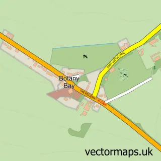
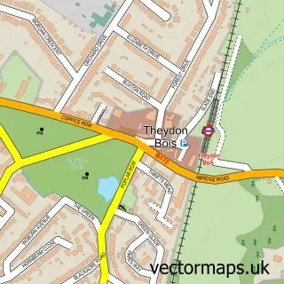
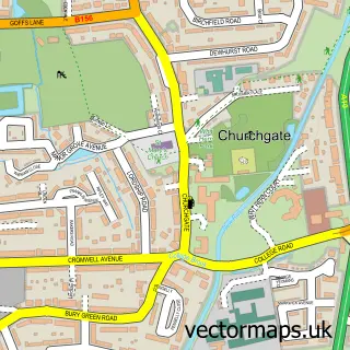
Nearby street map samples around Walthamstow

More street maps in Greater London
750 metre map area coverage
Boundary, postcode and point of interest information for the 750m x 750m rectangle centred on this sample map.
Boundaries containing map centre
Constituency: Walthamstow Boro Const
County: Greater London Authority
District: Waltham Forest London Boro
Icb: NHS North East London ICB
Police Force: metropolitan
Postcode District: E17
Postcode Sector: E17 3
Ward: Hoe Street Ward
Nearby boundaries intersecting sample
Postcode Sector: E17 4, E17 6, E17 7, E17 9
Ward: High Street Ward, Markhouse Ward, William Morris Ward
Postcode coverage
POI category counts
Real Estate Agent: 20
Coffee Shop: 17
Fast Food Restaurant: 13
Cafe: 12
Mobile Phone Store: 11
Beauty Salon: 10
Clothing Store: 10
Professional Services: 10
Restaurant: 10
Real Estate: 8
Sample points of interest
- OneTax Accountants & Business Advisors
- Prudents Associates Limited
- TaxAssist Accountants
- Walthamstow Retreat
- Graphical Impact
- To Market
- Together Design
- Lisbon Airport
- Cupping Clinic
- Relax & Chill Complementary Therapies
- Casino Cosmic
- Scope Charity Shop
Create a larger editable map of Walthamstow
This sample shows only a 750 metre area. To create a larger map of Walthamstow, use our map builder to choose your own coverage area, add titles and download editable SVG, PDF and PNG files.
Create a custom map of Walthamstow