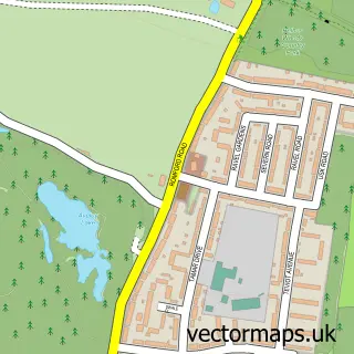
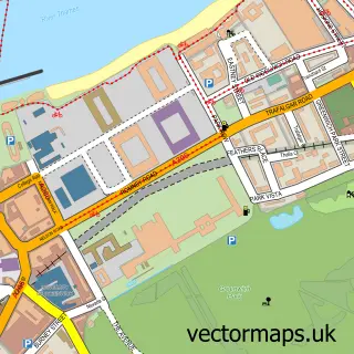
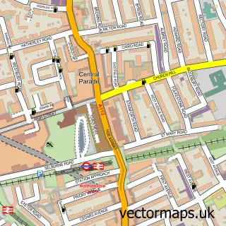
This East Ham street map is a detailed vector street map covering a 750m x 750m area. Select a larger area to create and download your own vector street map of East Ham.
The 750-metre map sample for East Ham covers 243 mapped buildings and approximately 23.1 km of road detail, of which 46 named roads are named. The immediate area includes 4 schools, 3 GP surgeries, with 49 within 2 miles, 6 pubs and 2 MOT stations, with 42 within 2 miles. The wider area around East Ham features 3 tourism points of interest, 35 food and drink venues and 2 hotels. To create a larger or custom map of East Ham, the map builder lets you define your own coverage area and download editable SVG, PDF and PNG files.
Create a larger editable map of East Ham
Choose any area you need and generate a high-quality vector map instantly. Perfect for print, planning, design, business and personal use.

This East Ham street map in Greater London is available as downloadable SVG, PDF and PNG map files, or as a printed map for planning, business, display, education, local information and design work. You can also create a larger custom map area using the map selector.
What this East Ham map sample shows
East Ham lies within Greater London Authority parish, part of East Ham Central ward in the Newham London Boro local authority area. The postcode geography for this area includes the E postcode area, the E6 postcode district and the E6 1 postcode sector. Residents fall under the Nhs North East London Integrated Care Board for NHS services.
Local features near East Ham
Within 2 milesAmenities and services in and around East Ham.
Administrative and postcode information for East Ham
East Ham lies within Greater London Authority parish, part of East Ham Central ward in the Newham London Boro local authority area. The postcode geography for this area includes the E postcode area, the E6 postcode district and the E6 1 postcode sector. Residents fall under the Nhs North East London Integrated Care Board for NHS services.
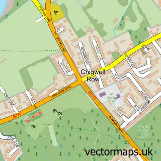
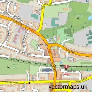
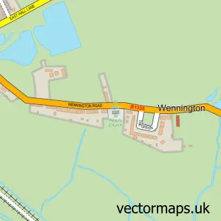
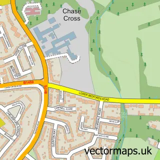
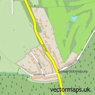
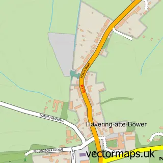
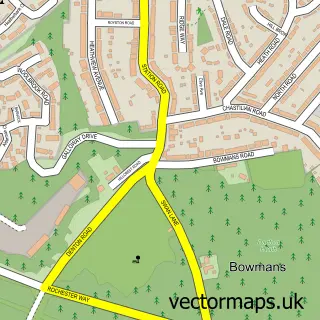
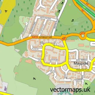
Nearby street map samples around East Ham

More street maps in Greater London
750 metre map area coverage
Boundary, postcode and point of interest information for the 750m x 750m rectangle centred on this sample map.
Boundaries containing map centre
Constituency: East Ham Boro Const
County: Greater London Authority
District: Newham London Boro
Icb: NHS North East London ICB
Police Force: metropolitan
Postcode District: E6
Postcode Sector: E6 2
Ward: East Ham Ward
Nearby boundaries intersecting sample
Postcode Sector: E6 1, E6 3, E6 6
Ward: Wall End Ward
Postcode coverage
POI category counts
Cafe: 14
Professional Services: 13
Beauty Salon: 12
Clothing Store: 12
Mobile Phone Store: 12
Grocery Store: 11
Church Cathedral: 10
Restaurant: 10
Fast Food Restaurant: 9
Religious Organization: 9
Sample points of interest
- H T Accountants & Co. LLP
- Jos Accountants Limited
- Quick and Easy Polish Accounting Services
- Rabbir & Co. Accountants
- Herb Acupuncturist Centre
- Mark4Future
- Mkh Enterprises Ltd.
- Tamilpuraa
- Chapandaz Limited
- Chapandaz Restaurant
- F Osto
- Kuramoh Lounge
Create a larger editable map of East Ham
This sample shows only a 750 metre area. To create a larger map of East Ham, use our map builder to choose your own coverage area, add titles and download editable SVG, PDF and PNG files.
Create a custom map of East Ham