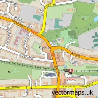
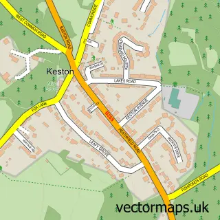
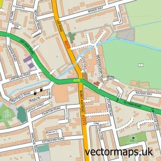
This Greenwich street map is a detailed vector street map covering a 750m x 750m area. Select a larger area to create and download your own vector street map of Greenwich.
The 750-metre map sample for Greenwich covers 121 mapped buildings and approximately 10.8 km of road detail, of which 27 named roads are named. The immediate area includes 2 schools, 1 GP surgery, with 27 within 2 miles, 18 pubs and 1 MOT station, with 24 within 2 miles. The wider area around Greenwich features 31 tourism points of interest, 59 food and drink venues and 3 hotels. To create a larger or custom map of Greenwich, the map builder lets you define your own coverage area and download editable SVG, PDF and PNG files.
Create a larger editable map of Greenwich
Choose any area you need and generate a high-quality vector map instantly. Perfect for print, planning, design, business and personal use.

This Greenwich street map in Greater London is available as downloadable SVG, PDF and PNG map files, or as a printed map for planning, business, display, education, local information and design work. You can also create a larger custom map area using the map selector.
What this Greenwich map sample shows
Greenwich lies within Greater London Authority parish, part of Peninsula ward in the Greenwich London Boro local authority area. The postcode geography for this area includes the SE postcode area, the SE10 postcode district and the SE10 9 postcode sector. Residents fall under the Nhs South East London Integrated Care Board for NHS services.
Local features near Greenwich
Within 2 milesAmenities and services in and around Greenwich.
Administrative and postcode information for Greenwich
Greenwich lies within Greater London Authority parish, part of Peninsula ward in the Greenwich London Boro local authority area. The postcode geography for this area includes the SE postcode area, the SE10 postcode district and the SE10 9 postcode sector. Residents fall under the Nhs South East London Integrated Care Board for NHS services.
Nearby street map samples around Greenwich


More street maps in Greater London
750 metre map area coverage
Boundary, postcode and point of interest information for the 750m x 750m rectangle centred on this sample map.
Boundaries containing map centre
Constituency: Greenwich and Woolwich Boro Const
County: Greater London Authority
District: Greenwich London Boro
Icb: NHS South East London ICB
Police Force: metropolitan
Postcode District: SE10
Postcode Sector: SE10 9
Ward: Greenwich Park Ward
Nearby boundaries intersecting sample
Constituency: Poplar and Limehouse Boro Const
District: Tower Hamlets London Boro
Postcode Sector: SE10 8
Ward: East Greenwich Ward, Greenwich Creekside Ward, Island Gardens Ward
Postcode coverage
POI category counts
Pub: 18
Cafe: 17
Restaurant: 13
Art Gallery: 11
Coffee Shop: 11
Landmark And Historical Building: 10
Museum: 10
Bakery: 9
College University: 9
Arts And Crafts: 7
Sample points of interest
- Fortune UK Accountants
- Prime Meridian Therapies
- APG
- Easy Tiger Creative
- Meantime Communications
- Frankie & Benny's
- Grace Church, Greenwich
- Okutendereza Mu Luganda (Lugandan congregation at St Alphege Greenwich)
- St Alfege Church
- The Chapel of St Peter and St Paul at the Old Royal Naval College
- Tom Pfister Rare Books and Curios
- Architecture And Partners LLP
Create a larger editable map of Greenwich
This sample shows only a 750 metre area. To create a larger map of Greenwich, use our map builder to choose your own coverage area, add titles and download editable SVG, PDF and PNG files.
Create a custom map of Greenwich