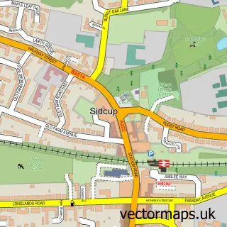
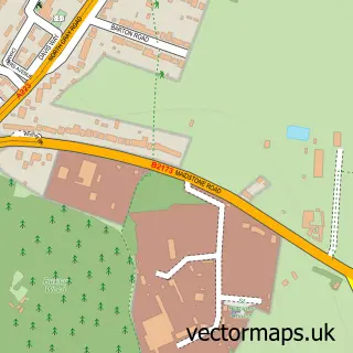
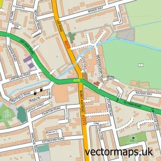
This Catford street map is a detailed vector street map covering a 750m x 750m area. Select a larger area to create and download your own vector street map of Catford.
The 750-metre map sample for Catford covers 284 mapped buildings and approximately 19.4 km of road detail, of which 30 named roads are named. The immediate area includes 3 schools, 1 railway station, 23 GP surgeries within 2 miles and 9 pubs among other local services. The wider area around Catford features 7 tourism points of interest, 32 food and drink venues and 1 hotel. To create a larger or custom map of Catford, the map builder lets you define your own coverage area and download editable SVG, PDF and PNG files.
Create a larger editable map of Catford
Choose any area you need and generate a high-quality vector map instantly. Perfect for print, planning, design, business and personal use.

This Catford street map in Greater London is available as downloadable SVG, PDF and PNG map files, or as a printed map for planning, business, display, education, local information and design work. You can also create a larger custom map area using the map selector.
What this Catford map sample shows
Catford lies within Greater London Authority parish, part of Rushey Green ward in the Lewisham London Boro local authority area. The postcode geography for this area includes the SE postcode area, the SE6 postcode district and the SE6 4 postcode sector. Residents fall under the Nhs South East London Integrated Care Board for NHS services.
Local features near Catford
Within 2 milesAmenities and services in and around Catford.
Administrative and postcode information for Catford
The local authority covering Catford is Lewisham London Boro, within the county of Greater London. The settlement lies within Rushey Green ward and Greater London Authority civil parish. The SE6 postcode district and SE6 4 postcode sector serve the immediate area. NHS provision in the area is delivered through Lewisham And Greenwich Nhs Trust.
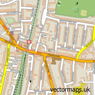
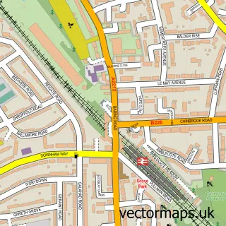
Nearby street map samples around Catford


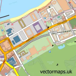
More street maps in Greater London
750 metre map area coverage
Boundary, postcode and point of interest information for the 750m x 750m rectangle centred on this sample map.
Boundaries containing map centre
Constituency: Lewisham East Boro Const
County: Greater London Authority
District: Lewisham London Boro
Icb: NHS South East London ICB
Police Force: metropolitan
Postcode District: SE6
Postcode Sector: SE6 4
Ward: Rushey Green Ward
Nearby boundaries intersecting sample
Postcode Sector: SE6 2, SE6 3
Ward: Catford South Ward
Postcode coverage
POI category counts
Restaurant: 11
Pub: 9
Barber: 8
Coffee Shop: 8
Grocery Store: 8
Real Estate Agent: 8
Bank Credit Union: 7
Discount Store: 7
Hair Salon: 7
Fast Food Restaurant: 6
Sample points of interest
- Ravensbourne House
- Saskia Hawkins Acupuncture
- Taste Delizioso
- A2 Delicious
- Planet 68
- Tasty African Food
- Niceday Executive Car Services
- London Cars
- St Laurence Church, Catford
- Sense Charity Shop
- Sue Ryder Charity Shop
- Palmercrafts
Create a larger editable map of Catford
This sample shows only a 750 metre area. To create a larger map of Catford, use our map builder to choose your own coverage area, add titles and download editable SVG, PDF and PNG files.
Create a custom map of Catford