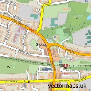
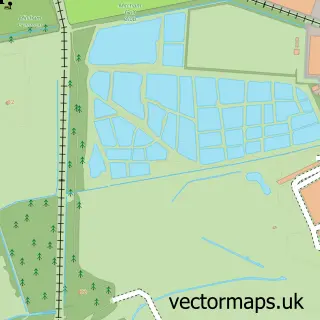
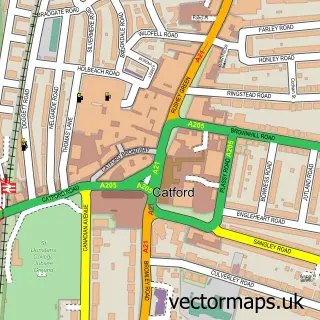
This Lewisham street map is a detailed vector street map covering a 750m x 750m area. Select a larger area to create and download your own vector street map of Lewisham.
The 750-metre map sample for Lewisham covers 242 mapped buildings and approximately 20.4 km of road detail, of which 45 named roads are named. The immediate area includes 2 schools, 1 railway station, 29 GP surgeries within 2 miles and 7 pubs among other local services. The wider area around Lewisham features 8 tourism points of interest, 35 food and drink venues and 5 hotels. To create a larger or custom map of Lewisham, the map builder lets you define your own coverage area and download editable SVG, PDF and PNG files.
Create a larger editable map of Lewisham
Choose any area you need and generate a high-quality vector map instantly. Perfect for print, planning, design, business and personal use.

This Lewisham street map in Greater London is available as downloadable SVG, PDF and PNG map files, or as a printed map for planning, business, display, education, local information and design work. You can also create a larger custom map area using the map selector.
What this Lewisham map sample shows
Lewisham lies within Greater London Authority parish, part of Lewisham Central ward in the Lewisham London Boro local authority area. The postcode geography for this area includes the SE postcode area, the SE13 postcode district and the SE13 6 postcode sector. Residents fall under the Nhs South East London Integrated Care Board for NHS services.
Local features near Lewisham
Within 2 milesAmenities and services in and around Lewisham.
Administrative and postcode information for Lewisham
The local authority covering Lewisham is Lewisham London Boro, within the county of Greater London. The settlement lies within Lewisham Central ward and Greater London Authority civil parish. The SE13 postcode district and SE13 6 postcode sector serve the immediate area. NHS provision in the area is delivered through Lewisham And Greenwich Nhs Trust.
Nearby street map samples around Lewisham

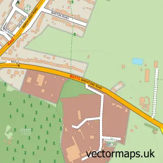
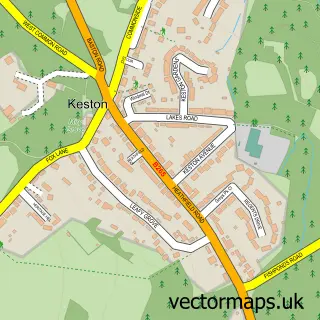
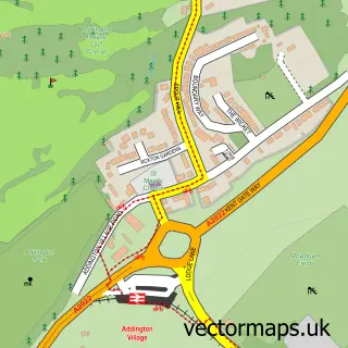


More street maps in Greater London
750 metre map area coverage
Boundary, postcode and point of interest information for the 750m x 750m rectangle centred on this sample map.
Boundaries containing map centre
Constituency: Lewisham North Boro Const
County: Greater London Authority
District: Lewisham London Boro
Icb: NHS South East London ICB
Police Force: metropolitan
Postcode District: SE13
Postcode Sector: SE13 5
Ward: Lewisham Central Ward
Nearby boundaries intersecting sample
Postcode District: SE3
Postcode Sector: SE13 6, SE13 7, SE3 0
Ward: Blackheath Ward, Ladywell Ward
Postcode coverage
POI category counts
Clothing Store: 17
Professional Services: 16
Church Cathedral: 11
Hair Salon: 11
Restaurant: 11
Home Health Care: 10
Shoe Store: 10
Cafe: 9
Charity Organization: 9
Jewelry Store: 9
Sample points of interest
- AIMS Accountants For Business - Grant Holbrook
- AIMS Accountants for Business
- Alfred Mendy & Co.
- Cross Andrew & Co.
- Pro Tax Plus Accountants Lewisham
- Synergy Training Group
- Lewisham Adult Learning centre
- Rhema Print & Design
- Afghan DERA
- 3a Chinese Medical Centre
- Herbal Inn
- Chef's Treat
Create a larger editable map of Lewisham
This sample shows only a 750 metre area. To create a larger map of Lewisham, use our map builder to choose your own coverage area, add titles and download editable SVG, PDF and PNG files.
Create a custom map of Lewisham