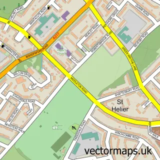
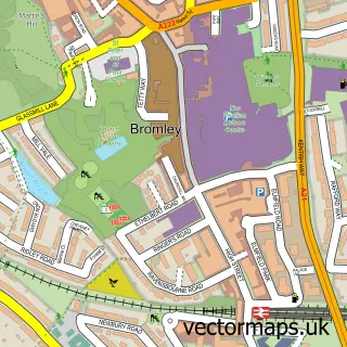
This Sydenham street map is a detailed vector street map covering a 750m x 750m area. Select a larger area to create and download your own vector street map of Sydenham.
The 750-metre map sample for Sydenham covers 322 mapped buildings and approximately 21.4 km of road detail, of which 47 named roads are named. The immediate area includes 1 railway station, 27 GP surgeries within 2 miles, 3 pubs and 2 MOT stations, with 29 within 2 miles. The wider area around Sydenham features 5 tourism points of interest, 18 food and drink venues and 1 campsite within 2 miles. To create a larger or custom map of Sydenham, the map builder lets you define your own coverage area and download editable SVG, PDF and PNG files.
Create a larger editable map of Sydenham
Choose any area you need and generate a high-quality vector map instantly. Perfect for print, planning, design, business and personal use.

This Sydenham street map in Greater London is available as downloadable SVG, PDF and PNG map files, or as a printed map for planning, business, display, education, local information and design work. You can also create a larger custom map area using the map selector.
What this Sydenham map sample shows
Sydenham lies within Greater London Authority parish, part of Sydenham ward in the Lewisham London Boro local authority area. The postcode geography for this area includes the SE postcode area, the SE26 postcode district and the SE26 6 postcode sector. Residents fall under the Nhs South East London Integrated Care Board for NHS services.
Local features near Sydenham
Within 2 milesAmenities and services in and around Sydenham.
Administrative and postcode information for Sydenham
Sydenham lies within Greater London Authority parish, part of Sydenham ward in the Lewisham London Boro local authority area. The postcode geography for this area includes the SE postcode area, the SE26 postcode district and the SE26 6 postcode sector. Residents fall under the Nhs South East London Integrated Care Board for NHS services.
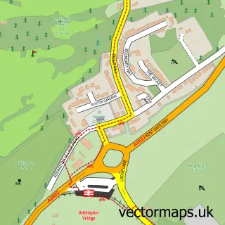
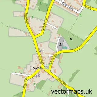
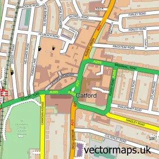
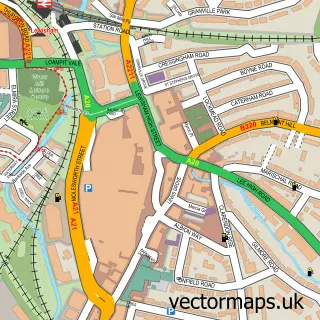
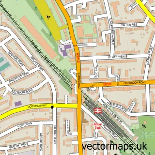
Nearby street map samples around Sydenham

More street maps in Greater London
750 metre map area coverage
Boundary, postcode and point of interest information for the 750m x 750m rectangle centred on this sample map.
Boundaries containing map centre
Constituency: Lewisham West and East Dulwich Boro Const
County: Greater London Authority
District: Lewisham London Boro
Icb: NHS South East London ICB
Police Force: metropolitan
Postcode District: SE26
Postcode Sector: SE26 4
Ward: Sydenham Ward
Nearby boundaries intersecting sample
Constituency: Beckenham and Penge Boro Const
Postcode District: SE23
Postcode Sector: SE23 2, SE26 5, SE26 6
Ward: Penge & Cator Ward, Perry Vale Ward
Postcode coverage
POI category counts
Cafe: 9
Hair Salon: 9
Gym: 8
Nail Salon: 7
Real Estate Agent: 7
Grocery Store: 6
Beauty Salon: 5
Professional Services: 5
Barber: 4
Coffee Shop: 4
Sample points of interest
- Peak Hill
- Major's Accounts
- Numbers Accountants
- Paperchase Taxation
- Chinese Medicine 2000
- RSPCA
- St Christopher's Hospice Charity Shop
- UK MOVER Ltd.
- Crystal Palace Quartet
- Neel Family Kitchen
- Apax
- Kepnoch Care Services
Create a larger editable map of Sydenham
This sample shows only a 750 metre area. To create a larger map of Sydenham, use our map builder to choose your own coverage area, add titles and download editable SVG, PDF and PNG files.
Create a custom map of Sydenham