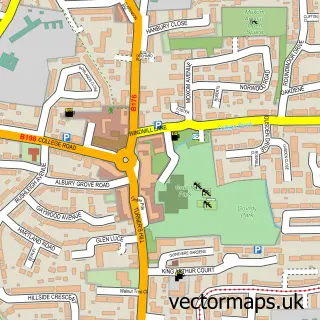
This Churchgate street map is a detailed vector street map covering a 750m x 750m area. Select a larger area to create and download your own vector street map of Churchgate.
The 750-metre map sample for Churchgate covers 371 mapped buildings and approximately 17.4 km of road detail, of which 34 named roads are named. The immediate area includes 1 primary school and 1 secondary school, 1 GP surgery, with 7 within 2 miles, 2 pubs and 14 MOT stations within 2 miles. The wider area around Churchgate features 2 tourism points of interest, 3 food and drink venues and 1 campsite within 2 miles. To create a larger or custom map of Churchgate, the map builder lets you define your own coverage area and download editable SVG, PDF and PNG files.
Create a larger editable map of Churchgate
Choose any area you need and generate a high-quality vector map instantly. Perfect for print, planning, design, business and personal use.

This Churchgate street map in Hertfordshire is available as downloadable SVG, PDF and PNG map files, or as a printed map for planning, business, display, education, local information and design work. You can also create a larger custom map area using the map selector.
What this Churchgate map sample shows
Churchgate lies within Hertfordshire County parish, part of Cheshunt South And Theobalds ward in the Broxbourne District (B) local authority area. The postcode geography for this area includes the EN postcode area, the EN8 postcode district and the EN8 9 postcode sector. Residents fall under the Nhs Hertfordshire And West Essex Integrated Care Board for NHS services.
Local features near Churchgate
Within 2 milesAmenities and services in and around Churchgate.
Administrative and postcode information for Churchgate
Churchgate lies within Hertfordshire County parish, part of Cheshunt South And Theobalds ward in the Broxbourne District (B) local authority area. The postcode geography for this area includes the EN postcode area, the EN8 postcode district and the EN8 9 postcode sector. Residents fall under the Nhs Hertfordshire And West Essex Integrated Care Board for NHS services.
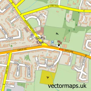
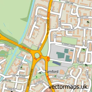
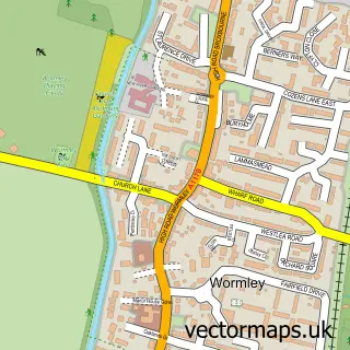
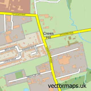
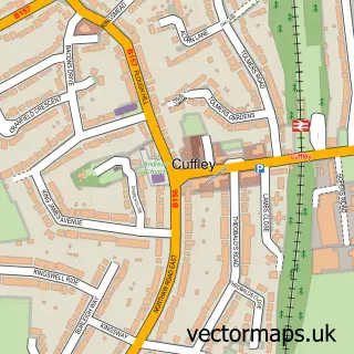
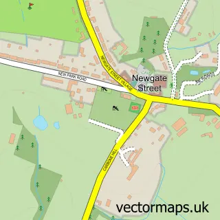
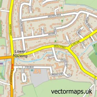
Nearby street map samples around Churchgate

More street maps in Hertfordshire
750 metre map area coverage
Boundary, postcode and point of interest information for the 750m x 750m rectangle centred on this sample map.
Boundaries containing map centre
Constituency: Broxbourne Co Const
County: Hertfordshire County
District: Broxbourne District (B)
Icb: NHS Central East ICB
Police Force: hertfordshire
Postcode District: EN8
Postcode Sector: EN8 9
Ward: Rosedale and Bury Green Ward
Nearby boundaries intersecting sample
Postcode District: EN7
Postcode Sector: EN7 5, EN8 8
Ward: Cheshunt South and Theobalds Ward
Postcode coverage
POI category counts
Building Supply Store: 4
Charity Organization: 4
Professional Services: 4
Church Cathedral: 3
Public And Government Association: 3
Automotive Repair: 2
Cleaning Services: 2
Home Cleaning: 2
Pest Control Service: 2
Preschool: 2
Sample points of interest
- Abbey Accountants
- St Mary the Virgin
- Fresh New Origins
- Kingfisher Nursing Home
- Payzone
- Greasy Commercials
- KO Alloy Refurbs
- Complete Curtains & Blinds
- A10 Boilers
- Herts Renovations Ltd
- Innovation Brickwork
- Pro Plumbing
Create a larger editable map of Churchgate
This sample shows only a 750 metre area. To create a larger map of Churchgate, use our map builder to choose your own coverage area, add titles and download editable SVG, PDF and PNG files.
Create a custom map of Churchgate