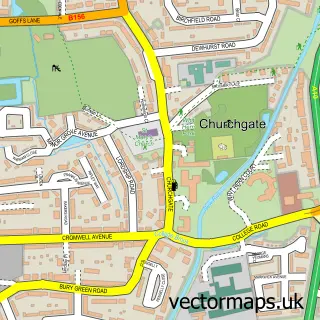
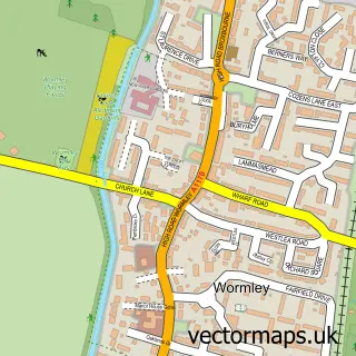
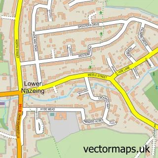
This Waltham Cross street map is a detailed vector street map covering a 750m x 750m area. Select a larger area to create and download your own vector street map of Waltham Cross.
The 750-metre map sample for Waltham Cross covers 360 mapped buildings and approximately 19.5 km of road detail, of which 38 named roads are named. The immediate area includes 1 school, 2 GP surgeries, with 7 within 2 miles, 2 pubs and 23 MOT stations within 2 miles. The wider area around Waltham Cross features 16 food and drink venues, 1 hotel and 1 campsite within 2 miles. To create a larger or custom map of Waltham Cross, the map builder lets you define your own coverage area and download editable SVG, PDF and PNG files.
Create a larger editable map of Waltham Cross
Choose any area you need and generate a high-quality vector map instantly. Perfect for print, planning, design, business and personal use.

This Waltham Cross street map in Hertfordshire is available as downloadable SVG, PDF and PNG map files, or as a printed map for planning, business, display, education, local information and design work. You can also create a larger custom map area using the map selector.
What this Waltham Cross map sample shows
Waltham Cross lies within Hertfordshire County parish, part of Waltham Cross ward in the Broxbourne District (B) local authority area. The postcode geography for this area includes the EN postcode area, the EN8 postcode district and the EN8 7 postcode sector. Residents fall under the Nhs Hertfordshire And West Essex Integrated Care Board for NHS services.
Local features near Waltham Cross
Within 2 milesAmenities and services in and around Waltham Cross.
Administrative and postcode information for Waltham Cross
Waltham Cross lies within Hertfordshire County parish, part of Waltham Cross ward in the Broxbourne District (B) local authority area. The postcode geography for this area includes the EN postcode area, the EN8 postcode district and the EN8 7 postcode sector. Residents fall under the Nhs Hertfordshire And West Essex Integrated Care Board for NHS services.
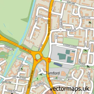
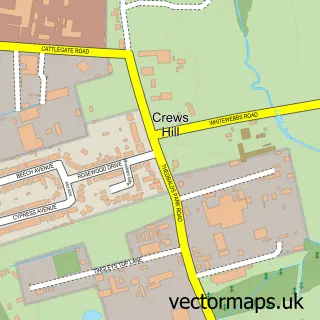
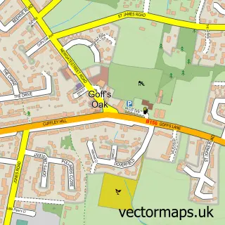
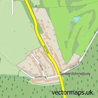
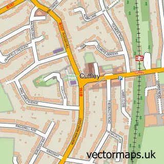
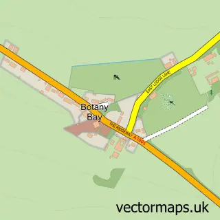
Nearby street map samples around Waltham Cross

More street maps in Hertfordshire
750 metre map area coverage
Boundary, postcode and point of interest information for the 750m x 750m rectangle centred on this sample map.
Boundaries containing map centre
Constituency: Broxbourne Co Const
County: Hertfordshire County
District: Broxbourne District (B)
Icb: NHS Central East ICB
Police Force: hertfordshire
Postcode District: EN8
Postcode Sector: EN8 7
Ward: Waltham Cross Ward
Nearby boundaries intersecting sample
Constituency: Enfield North Boro Const
County: Greater London Authority
District: Enfield London Boro
Police Force: metropolitan
Postcode District: EN3
Postcode Sector: EN3 7, EN8 8
Ward: Bullsmoor Ward, Enfield Lock Ward
Postcode coverage
POI category counts
Bank Credit Union: 7
Mobile Phone Store: 7
Shoe Store: 7
Beauty Salon: 6
Discount Store: 6
Employment Agencies: 6
Grocery Store: 6
Jewelry Store: 6
Key And Locksmith: 6
Real Estate Agent: 6
Sample points of interest
- the breakfast bar
- Marie Curie
- Rona Sewing Machines
- Yokisa Sushi & Bubble tea
- ATM Barclays Bank
- PayPoint
- Mr Shine Mobile Vehicle Detailing
- Gates of Waltham Cross
- Salon Graduates
- Neo Brothers Ltd - Car & Van Parts Specialists
- Apola
- CGS Body Repair Centre
Create a larger editable map of Waltham Cross
This sample shows only a 750 metre area. To create a larger map of Waltham Cross, use our map builder to choose your own coverage area, add titles and download editable SVG, PDF and PNG files.
Create a custom map of Waltham Cross