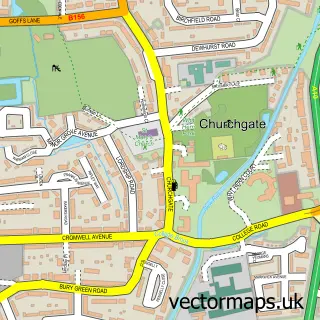
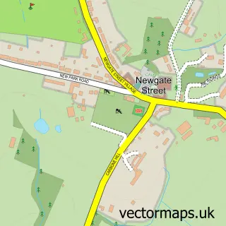
This Cheshunt street map is a detailed vector street map covering a 750m x 750m area. Select a larger area to create and download your own vector street map of Cheshunt.
The 750-metre map sample for Cheshunt covers 460 mapped buildings and approximately 17.5 km of road detail, of which 42 named roads are named. The immediate area includes 1 school, 1 GP surgery, with 8 within 2 miles, 1 pub and 2 MOT stations, with 19 within 2 miles. The wider area around Cheshunt features 4 tourism points of interest, 14 food and drink venues and 1 campsite within 2 miles. To create a larger or custom map of Cheshunt, the map builder lets you define your own coverage area and download editable SVG, PDF and PNG files.
Create a larger editable map of Cheshunt
Choose any area you need and generate a high-quality vector map instantly. Perfect for print, planning, design, business and personal use.

This Cheshunt street map in Hertfordshire is available as downloadable SVG, PDF and PNG map files, or as a printed map for planning, business, display, education, local information and design work. You can also create a larger custom map area using the map selector.
What this Cheshunt map sample shows
Cheshunt lies within Hertfordshire County parish, part of Cheshunt South And Theobalds ward in the Broxbourne District (B) local authority area. The postcode geography for this area includes the EN postcode area, the EN8 postcode district and the EN8 9 postcode sector. Residents fall under the Nhs Hertfordshire And West Essex Integrated Care Board for NHS services.
Local features near Cheshunt
Within 2 milesAmenities and services in and around Cheshunt.
Administrative and postcode information for Cheshunt
Cheshunt lies within Hertfordshire County parish, part of Cheshunt South And Theobalds ward in the Broxbourne District (B) local authority area. The postcode geography for this area includes the EN postcode area, the EN8 postcode district and the EN8 9 postcode sector. Residents fall under the Nhs Hertfordshire And West Essex Integrated Care Board for NHS services.
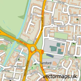
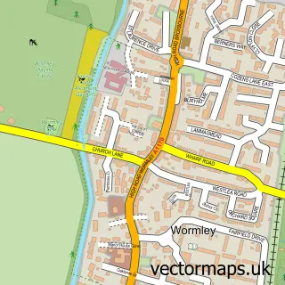
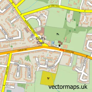
Nearby street map samples around Cheshunt

More street maps in Hertfordshire
750 metre map area coverage
Boundary, postcode and point of interest information for the 750m x 750m rectangle centred on this sample map.
Boundaries containing map centre
Constituency: Broxbourne Co Const
County: Hertfordshire County
District: Broxbourne District (B)
Icb: NHS Central East ICB
Police Force: hertfordshire
Postcode District: EN8
Postcode Sector: EN8 8
Ward: Cheshunt South and Theobalds Ward
Nearby boundaries intersecting sample
Postcode Sector: EN8 9
Ward: Cheshunt North Ward
Postcode coverage
POI category counts
Hair Salon: 7
Real Estate Agent: 7
Coffee Shop: 6
Bank Credit Union: 5
Dentist: 5
Nail Salon: 5
Pizza Restaurant: 5
Restaurant: 5
Shipping Center: 5
Automotive Repair: 4
Sample points of interest
- Mad Coms
- Lea Valley Growers Association
- Cheshunt Ambulance Station
- London Hearts Aerial Services Ltd.
- BA Repairs
- B A Repairs
- B.A.Repairs
- Albury Repair Works Ltd
- Autopoint LTD
- Mr Unique Tyre and Exhaust Centre
- Nick the Mechanic
- Greggs
Create a larger editable map of Cheshunt
This sample shows only a 750 metre area. To create a larger map of Cheshunt, use our map builder to choose your own coverage area, add titles and download editable SVG, PDF and PNG files.
Create a custom map of Cheshunt