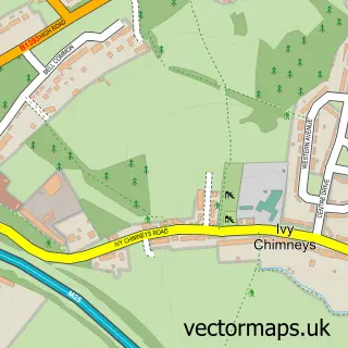
This Bumble's Green street map is a detailed vector street map covering a 750m x 750m area. Select a larger area to create and download your own vector street map of Bumble's Green.
The 750-metre map sample for Bumble's Green covers 152 mapped buildings and approximately 7.7 km of road detail, of which 9 named roads are named. The immediate area includes 1 MOT station, with 3 within 2 miles. To create a larger or custom map of Bumble's Green, the map builder lets you define your own coverage area and download editable SVG, PDF and PNG files.
Create a larger editable map of Bumble's Green
Choose any area you need and generate a high-quality vector map instantly. Perfect for print, planning, design, business and personal use.

This Bumble's Green street map in Essex is available as downloadable SVG, PDF and PNG map files, or as a printed map for planning, business, display, education, local information and design work. You can also create a larger custom map area using the map selector.
What this Bumble's Green map sample shows
Bumble's Green lies within Nazeing Cp parish, part of Broadley Common, Epping Upland And Nazeing ward in the Epping Forest District local authority area. The postcode geography for this area includes the EN postcode area, the EN9 postcode district and the EN9 2 postcode sector. Residents fall under the Nhs Hertfordshire And West Essex Integrated Care Board for NHS services.
Local features near Bumble's Green
Within 2 milesAmenities and services in and around Bumble's Green.
Administrative and postcode information for Bumble's Green
Bumble's Green lies within Nazeing Cp parish, part of Broadley Common, Epping Upland And Nazeing ward in the Epping Forest District local authority area. The postcode geography for this area includes the EN postcode area, the EN9 postcode district and the EN9 2 postcode sector. Residents fall under the Nhs Hertfordshire And West Essex Integrated Care Board for NHS services.
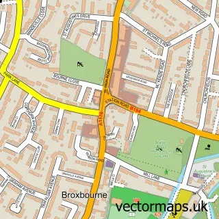
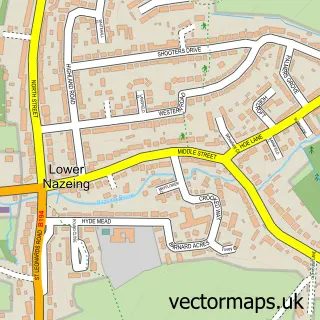
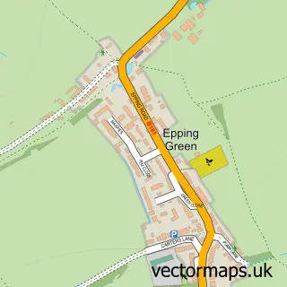
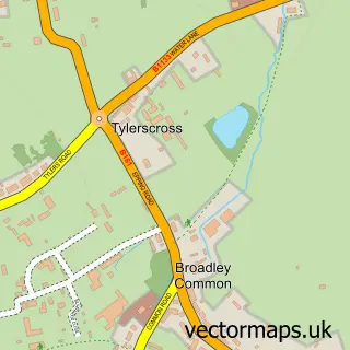
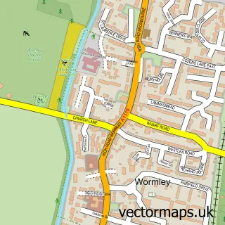
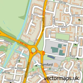
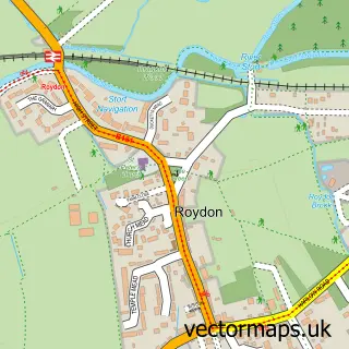
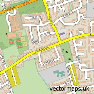
Nearby street map samples around Bumble's Green

More street maps in Essex
750 metre map area coverage
Boundary, postcode and point of interest information for the 750m x 750m rectangle centred on this sample map.
Boundaries containing map centre
Constituency: Epping Forest Co Const
County: Essex County
District: Epping Forest District
Icb: NHS Central East ICB
Parish: Nazeing CP
Police Force: essex
Postcode District: EN9
Postcode Sector: EN9 2
Ward: Epping West & Rural Ward
Nearby boundaries intersecting sample
No additional intersecting boundaries found.
Postcode coverage
POI category counts
Used Car Dealer: 2
Auto Customization: 1
Automotive: 1
Automotive Repair: 1
Carpenter: 1
Contractor: 1
Electronic Parts Supplier: 1
Golf Course: 1
International Business And Trade Services: 1
Irish Pub: 1
Sample points of interest
- YC AutoTech Solution's LTD
- Trewmens Auto Services
- Abbey Transmission Services
- Doors Of Dreams Joinery LTD.
- South East Block Paving
- Abbey Transmission Services Ltd.
- Nazeing Golf Club
- Advanced Hygiene
- Sun Inn
- St Lawrence Farm
- Nazeing Parish Council
- Broadley Garage
Create a larger editable map of Bumble's Green
This sample shows only a 750 metre area. To create a larger map of Bumble's Green, use our map builder to choose your own coverage area, add titles and download editable SVG, PDF and PNG files.
Create a custom map of Bumble's Green