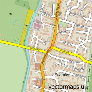
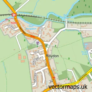
This Broxbourne street map is a detailed vector street map covering a 750m x 750m area. Select a larger area to create and download your own vector street map of Broxbourne.
The 750-metre map sample for Broxbourne covers 505 mapped buildings and approximately 17.6 km of road detail, of which 39 named roads are named. The immediate area includes 1 GP surgery, with 4 within 2 miles, 3 pubs and 1 MOT station, with 10 within 2 miles. The wider area around Broxbourne features 4 tourism points of interest, 13 food and drink venues and 1 hotel. To create a larger or custom map of Broxbourne, the map builder lets you define your own coverage area and download editable SVG, PDF and PNG files.
Create a larger editable map of Broxbourne
Choose any area you need and generate a high-quality vector map instantly. Perfect for print, planning, design, business and personal use.

This Broxbourne street map in Hertfordshire is available as downloadable SVG, PDF and PNG map files, or as a printed map for planning, business, display, education, local information and design work. You can also create a larger custom map area using the map selector.
What this Broxbourne map sample shows
Broxbourne lies within Hertfordshire County parish, part of Broxbourne And Hoddesdon South ward in the Broxbourne District (B) local authority area. The postcode geography for this area includes the EN postcode area, the EN10 postcode district and the EN10 7 postcode sector. Residents fall under the Nhs Hertfordshire And West Essex Integrated Care Board for NHS services.
Local features near Broxbourne
Within 2 milesAmenities and services in and around Broxbourne.
Administrative and postcode information for Broxbourne
The local authority covering Broxbourne is Broxbourne District (B), within the county of Hertfordshire. The settlement lies within Broxbourne And Hoddesdon South ward and Hertfordshire County civil parish. The EN10 postcode district and EN10 7 postcode sector serve the immediate area. NHS provision in the area is delivered through The Princess Alexandra Hospital Nhs Trust.
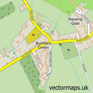
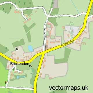
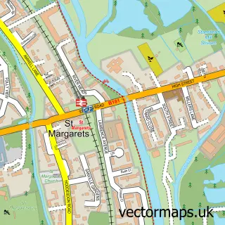
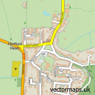
Nearby street map samples around Broxbourne

More street maps in Hertfordshire
750 metre map area coverage
Boundary, postcode and point of interest information for the 750m x 750m rectangle centred on this sample map.
Boundaries containing map centre
Constituency: Broxbourne Co Const
County: Hertfordshire County
District: Broxbourne District (B)
Icb: NHS Central East ICB
Police Force: hertfordshire
Postcode District: EN10
Postcode Sector: EN10 7
Ward: Broxbourne and Hoddesdon South Ward
Nearby boundaries intersecting sample
No additional intersecting boundaries found.
Postcode coverage
POI category counts
Beauty Salon: 9
Dentist: 5
Real Estate Agent: 5
Pizza Restaurant: 4
Restaurant: 4
Building Supply Store: 3
Cafe: 3
Charity Organization: 3
Coffee Shop: 3
Hair Salon: 3
Sample points of interest
- Lincoln Brown & Co
- TaxAssist Accountants
- Huckleberry Chicken
- St Augustine's Church, Broxbourne
- Gulshan Restaurant
- Rayu Pan Asian Broxbourne
- Broxboune playground
- Broxbourne Service Centre
- W S Autos
- The Bread Bin
- Barclays Bank
- Ali Barbers
Create a larger editable map of Broxbourne
This sample shows only a 750 metre area. To create a larger map of Broxbourne, use our map builder to choose your own coverage area, add titles and download editable SVG, PDF and PNG files.
Create a custom map of Broxbourne