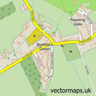
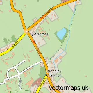
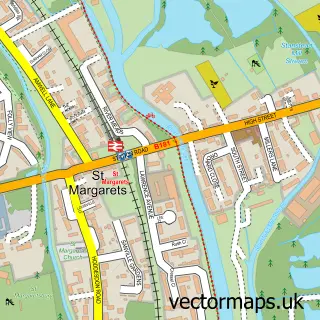
This Lower Nazeing street map is a detailed vector street map covering a 750m x 750m area. Select a larger area to create and download your own vector street map of Lower Nazeing.
The 750-metre map sample for Lower Nazeing covers 498 mapped buildings and approximately 13.9 km of road detail, of which 23 named roads are named. The immediate area includes 1 school, 1 GP surgery within 2 miles, 1 pub and 9 MOT stations within 2 miles. The wider area around Lower Nazeing features 1 tourism point of interest, 1 food and drink venue and 2 campsites within 2 miles. To create a larger or custom map of Lower Nazeing, the map builder lets you define your own coverage area and download editable SVG, PDF and PNG files.
Create a larger editable map of Lower Nazeing
Choose any area you need and generate a high-quality vector map instantly. Perfect for print, planning, design, business and personal use.

This Lower Nazeing street map in Essex is available as downloadable SVG, PDF and PNG map files, or as a printed map for planning, business, display, education, local information and design work. You can also create a larger custom map area using the map selector.
What this Lower Nazeing map sample shows
Lower Nazeing lies within Nazeing Cp parish, part of Lower Nazeing ward in the Epping Forest District local authority area. The postcode geography for this area includes the EN postcode area, the EN9 postcode district and the EN9 2 postcode sector. Residents fall under the Nhs Hertfordshire And West Essex Integrated Care Board for NHS services.
Local features near Lower Nazeing
Within 2 milesAmenities and services in and around Lower Nazeing.
Administrative and postcode information for Lower Nazeing
The local authority covering Lower Nazeing is Epping Forest District, within the county of Essex. The settlement lies within Lower Nazeing ward and Nazeing Cp civil parish. The EN9 postcode district and EN9 2 postcode sector serve the immediate area. NHS provision in the area is delivered through The Princess Alexandra Hospital Nhs Trust.
Nearby street map samples around Lower Nazeing
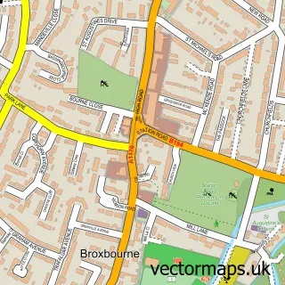

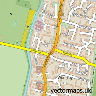
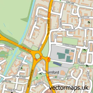
More street maps in Essex
750 metre map area coverage
Boundary, postcode and point of interest information for the 750m x 750m rectangle centred on this sample map.
Boundaries containing map centre
Constituency: Harlow Co Const
County: Essex County
District: Epping Forest District
Icb: NHS Central East ICB
Parish: Nazeing CP
Police Force: essex
Postcode District: EN9
Postcode Sector: EN9 2
Ward: Roydon & Lower Nazeing Ward
Nearby boundaries intersecting sample
No additional intersecting boundaries found.
Postcode coverage
POI category counts
Retail: 3
Automotive Repair: 2
Building Supply Store: 2
Financial Service: 2
Recycling Center: 2
Anglican Church: 1
Arts And Entertainment: 1
Auto Loan Provider: 1
Auto Upholstery: 1
Automotive Services And Repair: 1
Sample points of interest
- St Giles Church Nazeing
- The Kids Party People
- Finance Confidential
- CJA Upholstery
- The Mobile Garage
- Top Gunz
- A.V.S
- Steam Professional Ironing Service
- C a Bailey & Son
- Cleanability
- B Rogers
- Charlton Cleaning Services
Create a larger editable map of Lower Nazeing
This sample shows only a 750 metre area. To create a larger map of Lower Nazeing, use our map builder to choose your own coverage area, add titles and download editable SVG, PDF and PNG files.
Create a custom map of Lower Nazeing