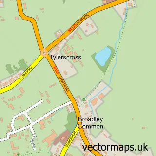
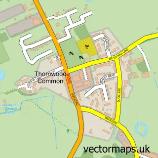
This Epping Green street map is a detailed vector street map covering a 750m x 750m area. Select a larger area to create and download your own vector street map of Epping Green.
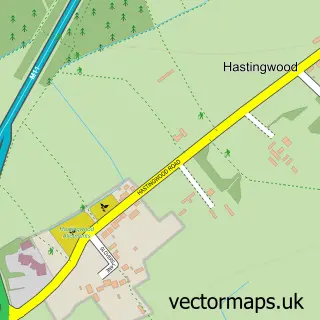
The 750-metre map sample for Epping Green covers 147 mapped buildings and approximately 5.8 km of road detail, of which 7 named roads are named. The immediate area includes 1 school, 1 GP surgery within 2 miles and 4 MOT stations within 2 miles. The wider area around Epping Green features 1 hotel. To create a larger or custom map of Epping Green, the map builder lets you define your own coverage area and download editable SVG, PDF and PNG files.
Create a larger editable map of Epping Green
Choose any area you need and generate a high-quality vector map instantly. Perfect for print, planning, design, business and personal use.

This Epping Green street map in Essex is available as downloadable SVG, PDF and PNG map files, or as a printed map for planning, business, display, education, local information and design work. You can also create a larger custom map area using the map selector.
What this Epping Green map sample shows
Epping Green lies within Epping Upland Cp parish, part of Broadley Common, Epping Upland And Nazeing ward in the Epping Forest District local authority area. The postcode geography for this area includes the CM postcode area, the CM16 postcode district and the CM16 6 postcode sector. Residents fall under the Nhs Hertfordshire And West Essex Integrated Care Board for NHS services.
Local features near Epping Green
Within 2 milesAmenities and services in and around Epping Green.
Administrative and postcode information for Epping Green
Epping Green lies within Epping Upland Cp parish, part of Broadley Common, Epping Upland And Nazeing ward in the Epping Forest District local authority area. The postcode geography for this area includes the CM postcode area, the CM16 postcode district and the CM16 6 postcode sector. Residents fall under the Nhs Hertfordshire And West Essex Integrated Care Board for NHS services.
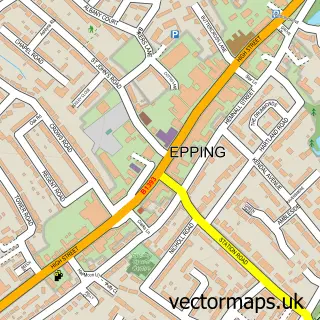
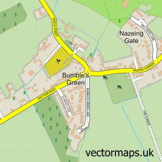
Nearby street map samples around Epping Green

More street maps in Essex
750 metre map area coverage
Boundary, postcode and point of interest information for the 750m x 750m rectangle centred on this sample map.
Boundaries containing map centre
Constituency: Epping Forest Co Const
County: Essex County
District: Epping Forest District
Icb: NHS Central East ICB
Parish: Epping Upland CP
Police Force: essex
Postcode District: CM16
Postcode Sector: CM16 6
Ward: Epping West & Rural Ward
Nearby boundaries intersecting sample
Parish: Nazeing CP
Postcode District: EN9
Postcode Sector: EN9 2
Postcode coverage
POI category counts
Church Cathedral: 2
Auto Loan Provider: 1
Beauty Salon: 1
Business Office Supplies And Stationery: 1
Elementary School: 1
Employment Agencies: 1
Hotel: 1
Hvac Supplier: 1
Kitchen Supply Store: 1
Professional Services: 1
Sample points of interest
- Professional Mortgage Services
- Beauty Within
- VEV Solution Discoverers
- Epping Green Chapel
- Epping Green Chapel
- Epping Upland C of E Primary School
- Abel McKenna
- Kingsway Holidays
- Access Heating And Plumbing
- Tinies Essex
- A. C. Morrison
- TS Property Investments
Create a larger editable map of Epping Green
This sample shows only a 750 metre area. To create a larger map of Epping Green, use our map builder to choose your own coverage area, add titles and download editable SVG, PDF and PNG files.
Create a custom map of Epping Green